 Society


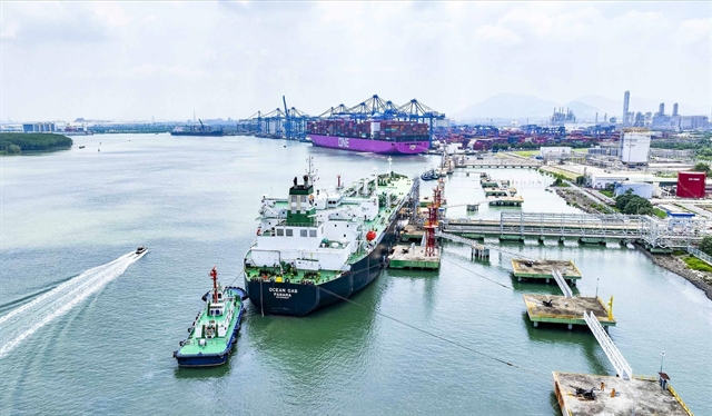
Việt Nam, Czech Republic step up local investment, trade cooperation
1.

|
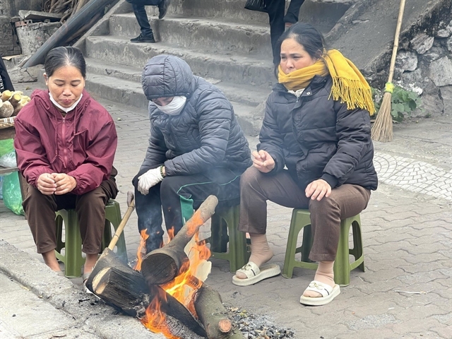
| A peach grower in Nhà Nít Village, Hy Cương Commune, Phú Thọ Province waters peach trees in preparation for the Tết holiday. The northern region is forecast to enjoy warm weather during the holiday. — VNA/VNS Photo Nguyễn Thảo |
HÀ NỘI — Although two or three cold snaps are forcast in February, experts forecast that severe, prolonged cold weather in the north is not expected.
According to the National Centre for Hydro-Meteorological Forecasting (NCHMF), cold air is likely to be weaker than previous years over the next three months.
Alongside the northeast monsoon, light rain and drizzle will occur in northern provinces and cities, concentrated in the second half of February and March.
Trương Bá Kiên, an expert from the Institute of Meteorology, Hydrology, Environment and Marine Sciences, said that during Tết (Lunar New Year) in mid-February, there would be one strengthened cold air wave, but its intensity would not be as strong as in recent years.
According to meteorological experts, the preliminary weather forecast for Tết in the northern region this year suggests relatively warm conditions, while the central region will also be warm with little chance of rain.
Typically, during Tết, temperatures in the south are high, with a tendency towards heatwaves. But, this year, temperatures in the south are trending lower than the multi-year average. Therefore, the likelihood of heatwaves during this national holiday in the south is low.
Regarding the February weather forecast, Nguyễn Văn Hưởng, head of the NCHMF's Weather Forecasting Division, said from now, it could be assessed that this year's winter in the north had fewer days of severe and extreme cold compared to previous winters.
Compared to the 2024-2025 winter, when the north experienced 13 cold waves, the current 2025-2026 winter has only about 11 to date.
The NCHMF assesses that during the Lunar New Year holiday, temperatures in the northern and central regions will be 0.5-1°C higher than the average.
In the south, during previous Lunar New Year holidays, this area typically had high temperatures, even heatwaves. But for this holiday, temperatures in the south will be lower than the multi-year average, with a low likelihood of heatwaves.
Hưởng also noted that humid, sticky weather has recently appeared in northern provinces. Forecasts indicate that from mid-February onwards, and peaking in March-April, will be the height of humidity.
Heatwaves from March
Regarding temperature trends, from this month to July, average temperatures nationwide will generally be close to the multi-year average.
In the northern region, and from Thanh Hóa to Huế during February-March, and the northern delta in April, average temperatures will be 0.5-1°C higher than the multi-year average for the same period.
From May, cold air will decrease in frequency and intensity. The northeast monsoon may combine with other weather patterns to cause rain in the northern region, concentrated in May and June.
Regarding heatwaves, the southern region may see them from late this month to early next month in the southeast; intensity will then increase and expand gradually to the southwest.
In the northwest, localised heatwaves may appear from next month. The northwest and areas from Thanh Hóa to Huế may see heatwaves from around April, then expanding across the entire north and central regions from late April.
"Dangerous weather phenomena such as thunderstorms, tornadoes, lightning and hail are likely to increase during the transition months, around March to May, nationwide. The risk is particularly high in the north, Central Highlands and south," Hưởng said.
Meteorological agencies particularly emphasise that amid climate change, weather is becoming increasingly complex with many dangerous and extreme forms, such as heavy rain in short periods, flash floods and landslides.
Therefore, it is recommended to regularly update and integrate hydro-meteorological forecasts and warnings into one-to-three-day short-term bulletins, to timely adjust production plans and response measures, especially reservoir operations to ensure safety for structures and downstream areas, as well as production and livelihoods. — VNS
Society
 Society
 Society
 Society
 Society
 Society
 Society
 Society
 Society
 Society
 Society
 Society
 Society
 Society
 Society