 Society


MoST shifts focus from policymaking to implementation to drive growth
1.
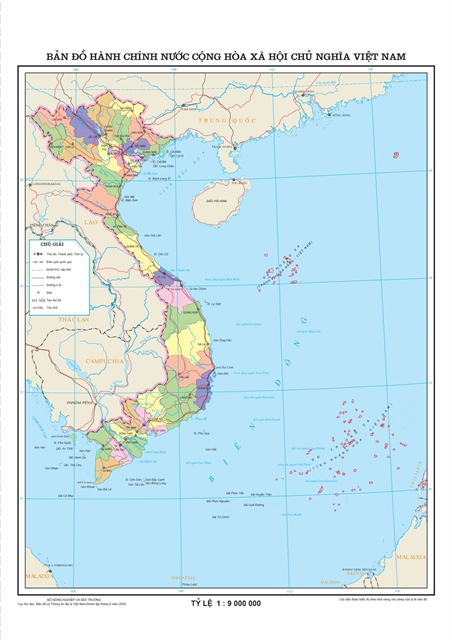 |
| The map showing Việt Nam's new administrative units. Image from the Department of Survey, Mapping and Geographic Information |
HÀ NỘI — The Department of Survey, Mapping and Geographic Information under the Ministry of Agriculture and Environment has completed an updated online map showing the country’s new administrative units.
This digital map accurately represents Việt Nam’s revised administrative divisions, following the largest territorial reorganisation in its history.
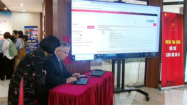
It serves as a practical and visual tool for Government officials, citizens, organisations and researchers to access reliable information for education, planning, management and governance.
According to Trần Duy Hạnh, director of the Centre of Survey and Mapping, the department will complete and release a 1:1,000,000 scale administrative map of Việt Nam in digital format.
This map aims to support the Prime Minister’s directives, as well as State management tasks across ministries, agencies and localities, he said.
The map will be made freely available to ministries, local authorities and the public via online platforms.
The 15th National Assembly on Thursday passed a resolution on the reorganisation of provincial-level administrative units in 2025, under which Việt Nam now has 34 provincial-level administrative units, including 28 provinces and six centrally-run cities.
The rearrangement will officially begin operations starting July 1. VNS
Society
 Society
 Society
 Society
 Society
 Society
 Society
 Society
 Society
 Society
 Society
 Society
 Society
 Society
 Society