 Society


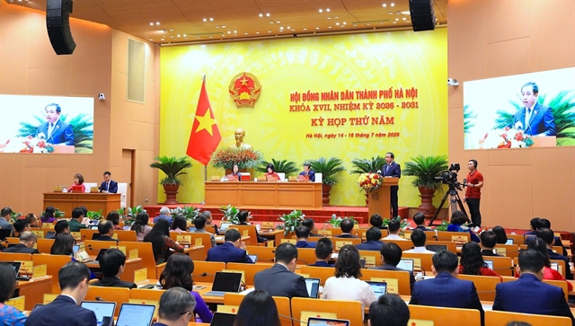
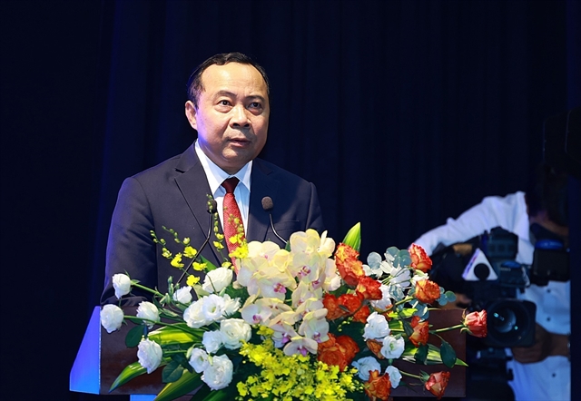
PM urges Tuyên Quang to accelerate measures to achieve double-digit growth
1.
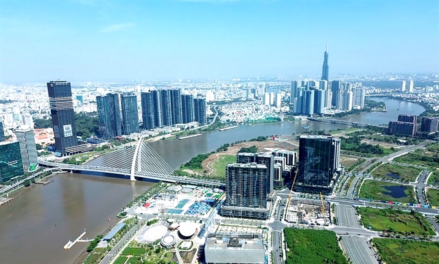 |
| A panoramic view of HCM City. As the nation's leading economic, cultural, and tourism hub, the city is driving forward with an ambitious 100-year master plan. — VNA/VNS Photo |
HCM CITY — The HCM City People’s Committee has approved the outline for the city’s master plan for the 2025-50 period, featuring an ambitious 100-year vision that aims to transform the southern metropolis into one of the Asia-Pacific region's primary economic and liveable hubs.
The blueprint, prepared by the local Institute for Development Studies, projects a minimum per capita economic growth rate of 10 per cent a year between 2025 and 2050.
By 2050, the city’s economy is projected to grow to around US$1.2 trillion, and its population to 20-22 million.
To accommodate this massive socio-economic growth, the city's urban construction land footprint is slated to expand to 290,000-320,000 hectares.
The scope of the master plan covers the city's entire administrative boundary of 6,772.59 square kilometres, comprising 113 wards, 54 communes, and the Côn Đảo special zone, in addition to future sea reclamation projects driven by economic demands.
The wider research framework for the plan also extends to neighbouring provinces like Tây Ninh, Đồng Nai, Đồng Tháp, and Lâm Đồng.
The long-term objective of the plan is to place the city among the top 100 worldwide for quality of life by 2050.
The blueprint outlines a multi-centric megacity model featuring smart governance, modern infrastructure, and robust climate change adaptation.
The master plan introduces a structural development model designated as "1 Centre, 3 Regions, 1 Special Zone":
The Core Centre (HCM City): Positioned as the financial and high-tech capital, focusing on financial services, trade, education, high-quality healthcare, and innovation.
Bình Dương Region: Designated as the industrial capital, focusing on high-tech manufacturing.
Bà Rịa - Vũng Tàu Region: Positioned as the marine economic capital, anchoring international seaports, logistics, offshore wind energy, and free trade zones.
Côn Đảo Special Zone: Tailored as a premier destination for eco-tourism, spiritual tourism, and luxury resorts.
Strategic transit and regional corridors
The outline heavily emphasises transit-oriented development.
The city aims to optimise urban transit so that commuters face a maximum travel time of one hour.
This will be supported by a massive expansion of mass public transit, including the metro network, light rail transit, monorail, and elevated or underground transport corridors to conserve land and minimise land clearance problems.
Furthermore, the city will build and reinforce several strategic economic corridors to boost connectivity across the country and the region.
Eastern Gateway: Strengthening links with the Southeast region, Biên Hòa’s industrial hubs, and the upcoming Long Thành International Airport via a multimodal network, including Ring Roads 3 and 4, and multiple expressways.
Mekong Delta Connection: Expanding development to the west and south through new expressways and the HCM City - Cần Thơ railway.
Southern Coastal Corridor: Extending from the Mekong Delta through Cần Giờ to the Cần Giờ - Cái Mép - Thị Vải port cluster, driving the marine economy, logistics, and coastal eco-urban chains.
North-South Corridor: Developing an industrial-urban-service belt along the Đồng Nai River to Gành Rái Bay.
International Links: Deepening transport connections with Cambodia and Laos via rail, including the HCM City - Lộc Ninh line through the Mộc Bài border.
The People's Committee has tasked the departments of finance and planning and architecture with ensuring the final master plan aligns precisely with the approved outline.
The plan is scheduled to be submitted to the People's Council, the city legislature, for approval in November. VNS
Society
 Society
 Society
 Society
 Society
 Society
 Society
 Society
 Society
 Society
 Society
 Society
 Society
 Society
 Society