 Environment

Việt Nam, EU and Belgium seek deeper, practical cooperation
1.
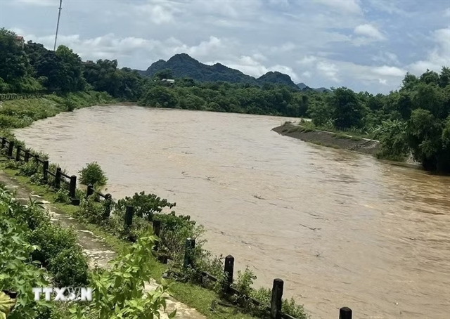 |
| Floodwaters rise on the Bôi River, Phú Thọ Province. — VNA/VNS Photos |
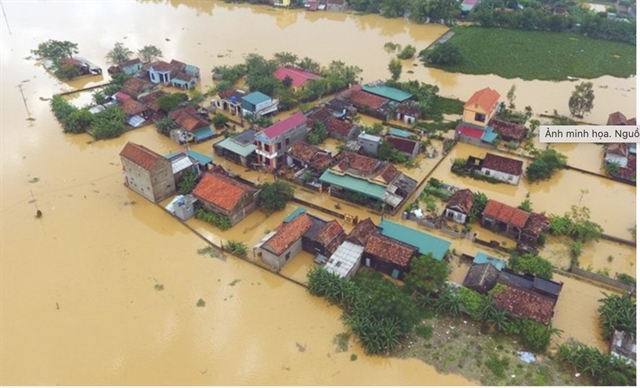
HÀ NỘI — Flood warnings were issued on Tuesday across the northern region and Thanh Hóa Province after heavy rain pushed river levels toward dangerous thresholds, with authorities warning of flooding, landslides and disruption to transport and agriculture.
The National Centre for Hydro-Meteorological Forecasting said a flood wave would affect rivers in the north and Thanh Hóa from September 15 to 16.
The Bôi River in Phú Thọ Province was forecast to rise above warning level 3, while the Hoàng Long River in Ninh Bình was expected to reach levels 2 to 3. The Bưởi River and upper reaches of the Mã and Chu rivers in Thanh Hóa were forecast to reach levels 1 to 2, with some areas exceeding level 2.
Authorities warned of a high risk of flooding in low-lying riverside and urban areas, as well as landslides on steep slopes. The flood-related disaster risk level was set at 1, the lowest of 4 levels.
On the Đồng Nai River in the southern region, water levels at the Tà Lài station were expected to remain around warning level 1 over the next 24 hours, with flooding possible in low-lying areas in and around several nearby communes.
Further south, Mekong River levels were forecast to remain above warning level 1 in the upper reaches over the next one to two days. Downstream stations were expected to reach levels 2 to 3, with some locations exceeding level 3 before gradually receding.
Flooding was considered likely in low-lying and riverside areas of An Giang, Đồng Tháp and Vĩnh Long provinces and Cần Thơ City.
Flooding can affect waterway transport, aquaculture, agricultural production and daily life, according to Nguyễn Tiến Kiên, deputy head of the hydrological forecasting division.
He also warned of erosion along embankments and the possible failure of weak flood-control structures.
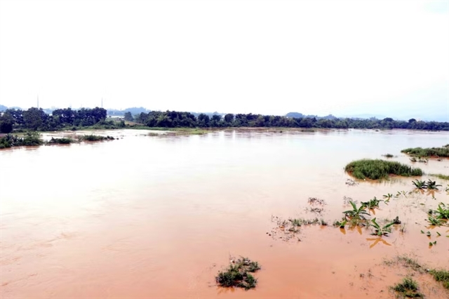 |
| The water level on the Cầu River rises as it flows through Phan Đình Phùng Ward, Thái Nguyên Province. |
Thanh Hóa steps up preparations
In Thanh Hóa Province, authorities have stepped up drainage and flood-control measures as heavy rain continues.
Sông Chu One Member Limited Liability Company said it had operated 10 drainage gates and 16 pumping stations between the night of September 13 and September 15. Reservoirs and dams, including Sông Mực, Yên Mỹ and Đồng Chùa, were also being operated according to established procedures.
At the Ngọc Thực pumping station, four of five pumps were operating from 4.45am on Tuesday to drain water and create additional capacity in case heavy rain continued.
Authorities later raised the flood warning on the Yên River at the Chuối hydrological station to level 2. Water levels stood at 2.45 metres at 7am, with the river forecast to reach the 2.8-metre level-two threshold around 10-11am.
Local authorities were ordered to patrol and reinforce dikes, inspect vulnerable areas and prepare evacuation plans for riverside residents if necessary.
Meanwhile, heavy rain continued in northern Tuyên Quang province on Tuesday, with rainfall generally ranging from 40 to 130 millimetres and some areas receiving more than 150 millimetres.
The provincial hydro-meteorological station warned that rainfall could exceed 100 millimetres within three hours, raising the risk of flash floods and landslides.
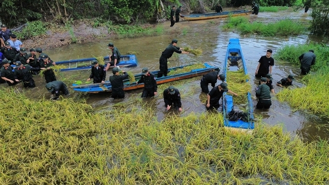 |
| Armed forces in Tây Ninh province help farmers harvest rice. |
The heavy rain was also expected to bring thunderstorms, hail, tornadoes and strong winds, with overwhelmed drainage systems potentially causing flooding and traffic disruptions.
Rainfall was expected to gradually ease from Wednesday night.
Residents in mountainous and riverside areas were urged to monitor weather warnings, avoid flooded roads and low-water crossings, and stay away from trees, power poles and other exposed areas during storms.
Local authorities, schools and businesses were told to reinforce buildings and infrastructure and prepare personnel and equipment for emergencies. — VNS
Environment
 Environment
 Environment
 Environment
 Environment
 Environment
 Environment
 Environment
 Environment
 Environment
 Environment
 Environment
 Environment
 Environment
 Environment