 Society

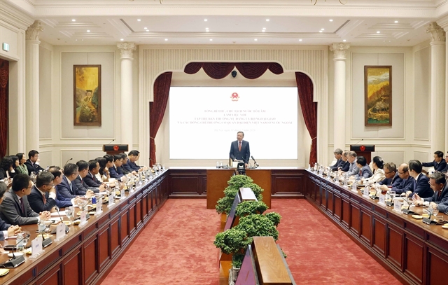
Ministry backs Hà Nội plan for three river-regulating dams
1.
 |
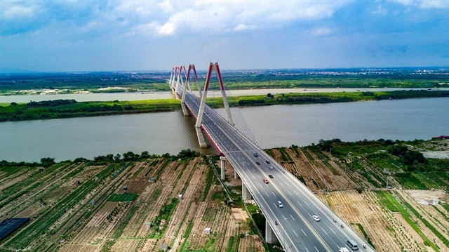
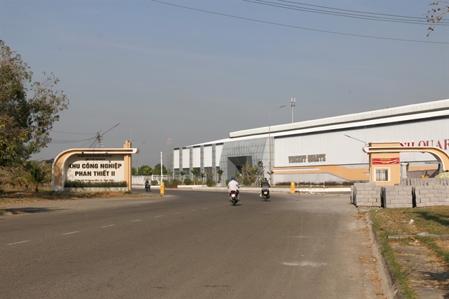
| The Ring Road No. 4 will be a new axis for the development of the Capital region. — VNA/VNS Photo |
HÀ NỘI — The Ring Road No.4 – Capital Region Project is set to transform Hà Nội, not only addressing pressing infrastructure needs but also driving the long-term adjustment of the city’s master plan through 2045, with a vision to 2065.
As a strategic traffic axis, the road is identified as the backbone for restructuring urban space towards a multi-polar, multi-centred model, creating fresh impetus for development across Hà Nội and the wider Capital Region.
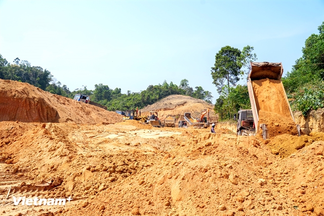
The Ring Road No.4, which began construction in 2023, is more than a short-term solution for transport demand. It forms part of a long-term strategy for the spatial development of Hà Nội and the Capital Region. In the adjusted Capital Planning to 2045, with a 100-year master plan vision, the road will expand urban space and lay the foundation for new development areas aligned with sustainable growth.
Nguyễn Thị Tuyết Nhung, head of the Technical Infrastructure Planning Division of the Hà Nội Department of Planning and Architecture, told kinhtedothi.vn: “The implementation of Ring Road No.4 places very clear demands on the adjustment of the Capital's Master Plan, namely a strong shift from a concentrated urban development model to a multi-polar, multi-centre model, gradually reducing excessive concentration in the historical inner city area.
“One of the key focuses of the revised Master Plan for Hà Nội until 2045, with a vision to 2065, is the restructuring of development space towards a multi-centred approach.
"Within this structure, the ring road plays a strategic connecting role, facilitating the formation and development of cities within cities.”
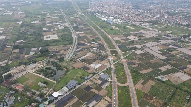
According to the plan, the northern and western areas of the capital are identified as having significant development potential, capable of accommodating new urban functions such as service centres, high-tech industries, logistics hubs and modern residential areas. Redistributing urban functions, population and jobs along the Ring Road No.4 will reduce pressure on the historical inner city and ease infrastructure and environmental strain.
In the Capital Master Plan with a 100-year vision, municipal authorities have clearly defined the need to move from a unipolar city to a multi-centred, multi-polar city with long-term adaptability, with Ring Road No.4 seen as a key condition to achieve this transformation. Nhung said the road will expand development space and lay the groundwork for cities within cities linked to innovation hubs, high-tech industries, services and logistics, gradually redistributing population and jobs and improving quality of life for Hà Nội residents.
New linkage, new growth poles
The road is also a strategic axis for reorganising economic, industrial and urban space across the entire Capital Region through 2045. It will facilitate the relocation of production facilities, industrial zones, logistics centres and commercial hubs from the inner city to peripheral areas and neighbouring provinces such as Hưng Yên, Bắc Ninh and Phú Thọ, which offer abundant land and better infrastructure connectivity.
Hà Nội is placed in an integrated relationship between the capital region and the northern key economic zone. The road is expected to create an inter-regional production and service network, easing pressure on the capital and boosting development in surrounding localities. The city will focus on high-value services, innovation, finance and culture, while integrated service centres, logistics hubs, high-tech industries and new urban areas emerge along the route.
Effective implementation is key
To maximise the road’s impact, planning on both sides of the route must progress in step with construction. Nhung said the Department of Planning and Architecture has coordinated with relevant agencies to synchronise planning work with the project’s investment schedule, reviewing and updating zoning and detailed plans, defining priority areas for urban development, services, industry and green space and strictly controlling fragmented development.
For the urban zoning west of the road, approved in 2025, the city has divided the area into four research segments: north of the Red River; south of the Red River to Thăng Long Boulevard; Thăng Long Boulevard to Ngọc Hồi – Phú Xuyên road; and Ngọc Hồi – Phú Xuyên road to the Red River dike. The department is currently appraising these plans before submission to the municipal People’s Committee.
“The implementation of planning along both sides of the road will be closely linked to the project’s investment progress, ensuring consistency between transportation infrastructure and urban development,” Nhung said. — VNS
Society
 Society
 Society
 Society
 Society
 Society
 Society
 Society
 Society
 Society
 Society
 Society
 Society
 Society
 Society