 Society


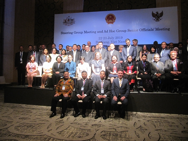
Việt Nam, Canada aim to elevate bilateral relations in the time ahead: PM
1.
|
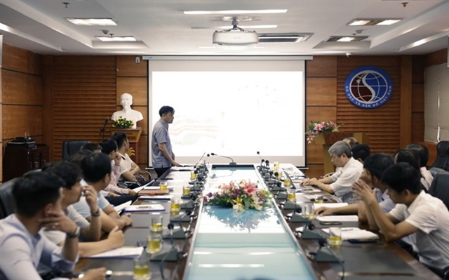
| Việt Nam is completing the construction of 65 Continuously Operating Reference Stations (CORS), using the Global Navigation Satellite System (GNSS) to provide highly accurate geo-spatial positioning data. — VNA/VNS Photo |
HÀ NỘI Việt Nam is completing the construction of 65 Continuously Operating Reference Stations (CORS), using the Global Navigation Satellite System (GNSS) to provide highly accurate geo-spatial positioning data.
The news was announced on July 23 at a meeting of the Ministry of Natural Resources and Environment’s Agency for Survey and Mapping held to report the results of the project to build a network of satellite-based global positioning stations in Việt Nam.
The stations will provide GPS data to support accurate positioning not only in map surveys but also in transport, geophysics, construction and agriculture.
According to head of the agency Phan Đức Hiếu, the network of stations established by the project will help detect movements of tectonic plates, improve weather forecasting and provide data to the national target programme on climate change response.
The application of GNSS has proven effective with co-ordinate deviation of less than 5 centimetres, he said, adding that more than 280 organisations and individuals have registered to use the service so far and the number will increase when the stations become operational in the central and southern regions.
Việt Nam is planning to build 160 CORS that will apply GNSS. — VNS
Society
 Society
 Society
 Society
 Society
 Society
 Society
Patients suffering from brain aneurysms mostly experience no symptoms, but half will experience their aneurysms rupturing and bleeding within two years, leading to death if not treated, doctors have warned.
 Society
Tây Ninh Province should optimise its potential to serve socio-economic development and improve the material and spiritual life of locals, Chairwoman of the National Assembly Nguyễn Thị Kim Ngân said on Tuesday.
 Society
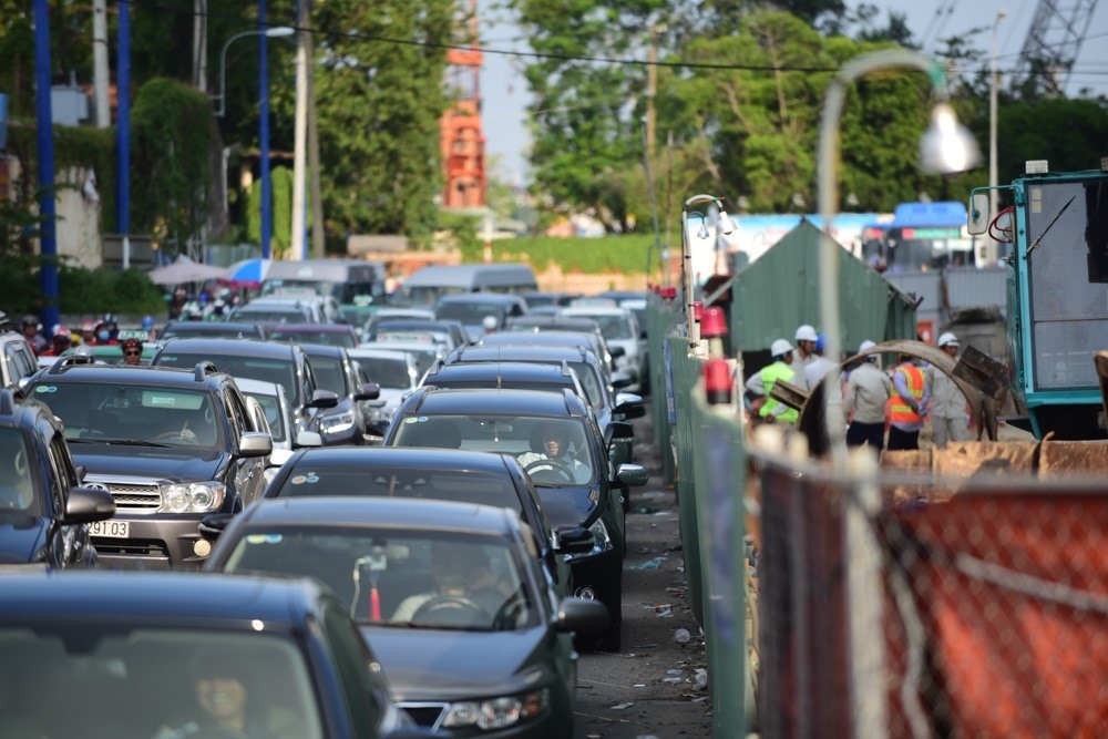
The HCM City Department of Transport has proposed investing VNĐ250 billion (US$10.7 million) for 34 automatic toll booths to prevent traffic congestion during peak hours in the city centre.
 Society
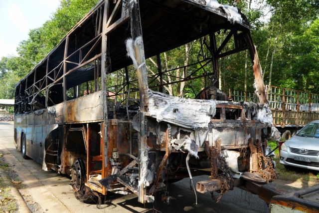
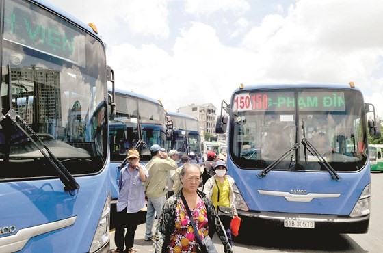
Environmentally-friendly buses in HCM City could face operating problems as compressed natural gas (CNG) suppliers plan to reduce CNG supply, according to local authorities.
 Society
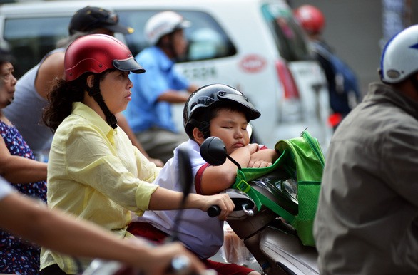
Children and adolescents need at least eight to 10 hours of sleep per night and a lack of proper sleep may lead to bad performance at school, slow physical growth and even traffic accidents.
 Society
 Society
 Society
 Society