 Society

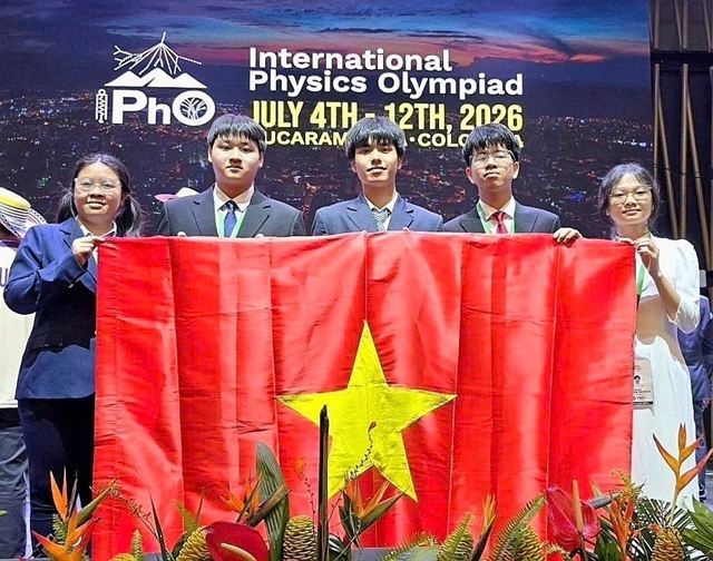
Việt Nam’s leaders send condolences to Indian counterparts over deadly tourist boat accident in Phú Quốc
1.
The approved land-use master plan for HCM City will have significant impact on the city’s development in the future, Nguyễn Toàn Thắng, director of the municipal Natural Resource and Environment Department, said.
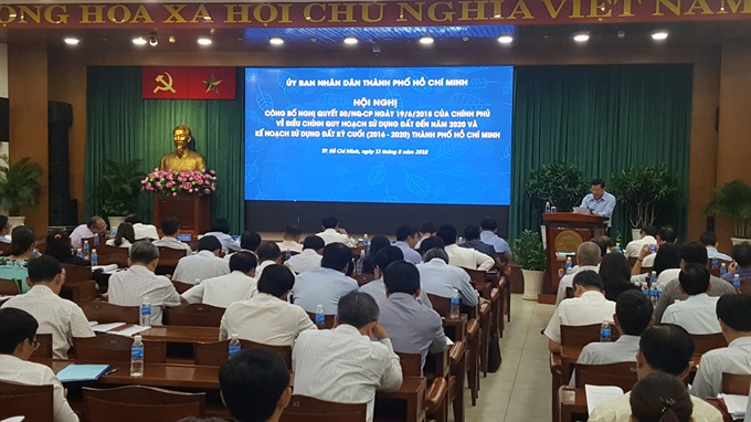 |
| HCM City announces approved land use master plan. -- VNS Photo Hoàng Nam |
HCM City – The approved land-use master plan for HCM City will have significant impact on the city’s development in the future, Nguyễn Toàn Thắng, director of the municipal Natural Resource and Environment Department, said.
Speaking at a meeting on Saturday to announce the Government’s resolution No.80/2018 on the city’s adjusted land-use master plan to 2020, Thắng discussed the results of land use in the 2011-2015 period.
“The land-use master plan exploited land potential as an important resource for urban development, but several goals have not been reached, and there has been limited efficiency in land use as well as environmental protection,” he added.
Insufficient investment and site-clearance problems were the major land-use problems facing the city, he said.
By the end of 2015, around 2,100 hectares ofthe city’s urban land had not been transferred for land-use goals under the approved master plan.
From now to 2020, the city’s agricultural land will be adjusted downward to 88,000 hectares compared with the 118,000 hectares in 2010.
Meanwhile, non-agricultural land has risen to nearly 189,000 hectares, 1,080 hectares higher than the national target. In 2010, it covered nearly 91,000 hectares.
The land used for infrastructure development in the city is estimated to total around 35,000 hectares, an increase of 15,233 hectares in comparison with 2015. Residential land in the urban area will cover 1,250 hectares.
To implement the adjusted master plan, Thắng suggested focusing on five solutions: investment, policies, climate change adaptation, agricultural land fund protection, and implementation.
Urban satellite areas
Thắng said the city would also prioritise investments in four satellite urban areas.
In the east, the satellite urban area will be located in Long Trường Ward in District 9 near the HCM City - Long Thành – Dầu Giây expressway, on a total area of 280 hectares.
In the west, the satellite urban area will be located in Tân Kiên commune in Bình Chánh District near National Highway Number 1, on a total area of 200 hectares.
In the south, it will be located in the A zone in the South Sài Gòn Urban Area with the backbone road of Nguyễn Hữu Thọ Boulevard, on a total area of 110 ha.
And in the north, it will be located in the North-West urban area near National Road 22, on a total area of 500 hectares.
To limit the traffic flow to the downtown area, the city will also invest in transportation to connect residential areas and the metro system, now under construction; and public welfare works like schools, hospitals and entertainment facilities.
“The adjusted land-use master plan has updated many standards in urgent fields, especially for climate change, which has become more serious in HCM City,” said Hoàng Tùng, deputy director of the municipal Master Plan and Architecture Department.
“During the 2020 – 2025 period, half of the land in HCM City will be used for urbanisation,” he added. -- VNS
Society
 Society
 Society
 Society
 Society
 Society
 Society
A mother, daughter and granddaughter were found dead yesterday after being strangled to death at their home in Châu Thành District’s Tam Hiệp Commune in the Mekong Delta province of Tiền Giang, according to police.
 Society
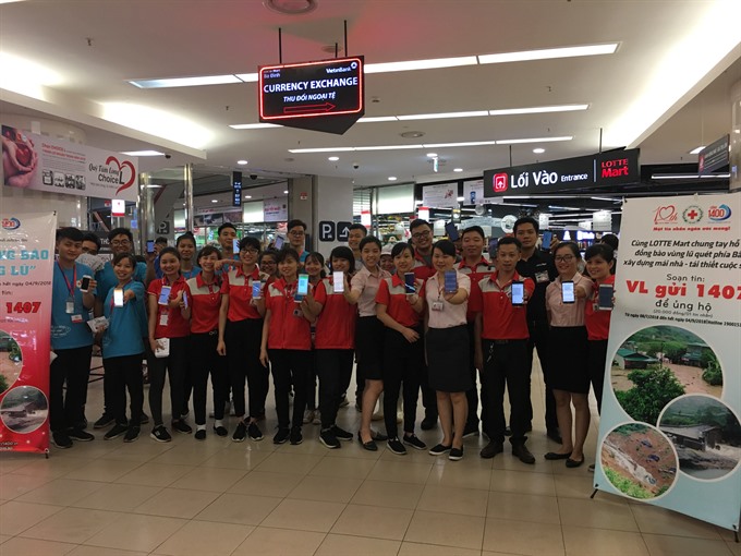
A programme to raise funds for flood victims via text message has received VNĐ429.8 million (US$19,100), according to Việt Nam Red Cross.
 Society
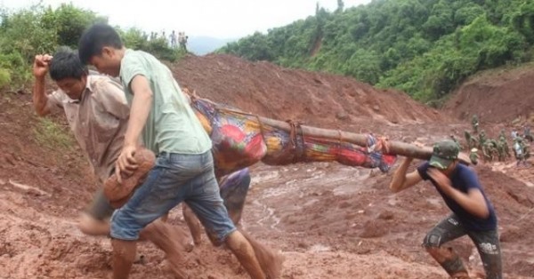
A landslide killed two people who were traveling on a district-level road on Saturday evening, Dương Đức Huy, Party Secretary of Bảo Yên District in Lào Cai province, announced.
 Society
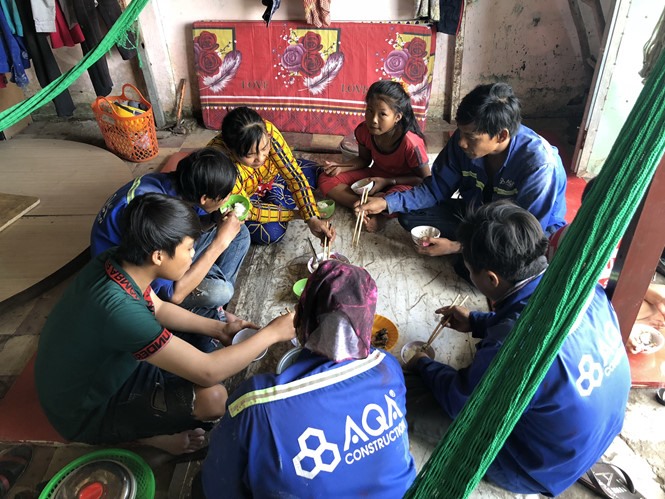
During the school year, Đinh Thị Cẩm Tú, 16, lives with her aunt in her family’s hometown. Every day, she sees her aunt and cousins together as a family and misses her mother, who has worked in
 Society
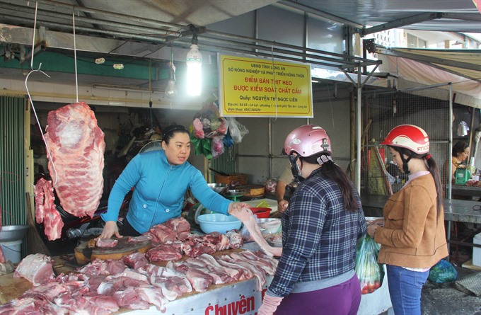
While chilled meat has grown in popularity among consumers in developed markets, Vietnamese consumers still hesitate to add it to their shopping carts.
 Society
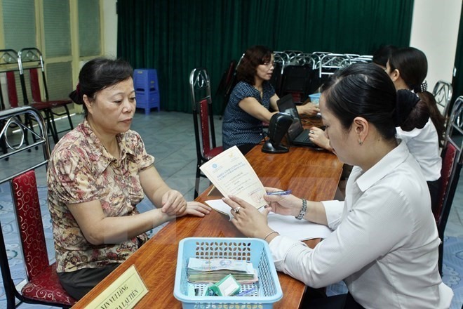
As many as 91,000 female employees who retire between 2018 and 2021 will be able to receive between 0.2 and 12 per cent of their pensions as a bonus as well as their current pensions.
 Society
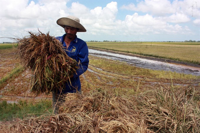
The Centre Steering Committee for Natural Disaster Prevention and Control has intructed Mekong Delta provinces to keep farmers informed about weather and tide conditions so they can harvest crops unprotected by dyke systems.
 Society
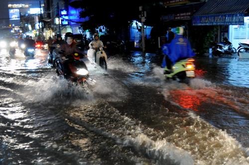
HCM City seeks funds for 17 flood-control and wastewater treatment projects because of a city budget shortfall, authorities said at a meeting on Thursday.
 Society
The rapidly growing demand for organic agricultural produce offers huge potential for businesses to invest in production and develop retail networks, experts said at a workshop Thursday in HCM City.