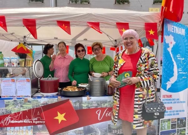
 Life & Style


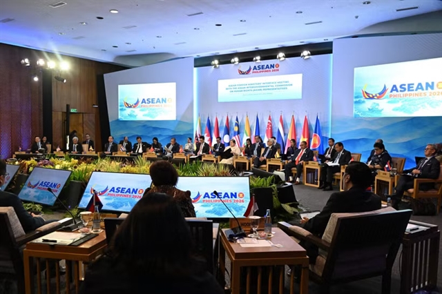
Việt Nam to need tens of thousands of nuclear power workers by 2035
1.
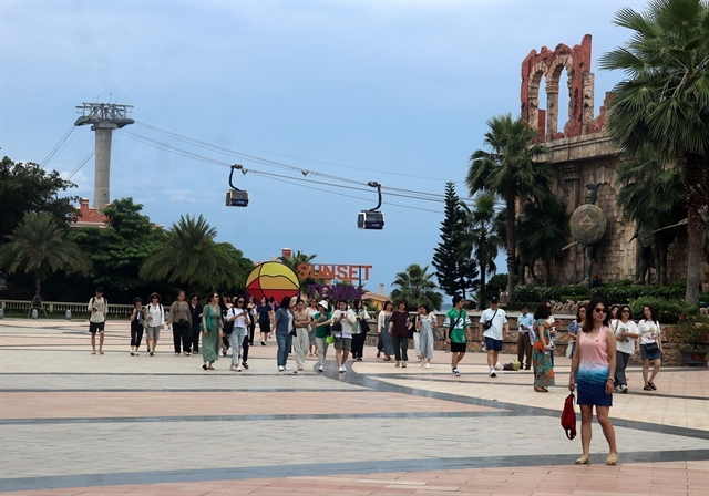 |
| The Hòn Thơm cable car in Phú Quốc Island, An Giang Province. — VNA/VNS Photo |
AN GIANG — Phú Quốc is entering a decisive phase in its push to become a high-end, internationally competitive tourism and service hub, as An Giang Province authorities move to consolidate five major coastal subdivision plans that will reshape the island’s urban and environmental landscape.
The provincial appraisal council has reached consensus on the planning orientation of these coastal zones, marking a strategic step towards building a modern, sustainable and globally competitive tourism destination.
The move is expected to provide a coherent legal and spatial framework, preventing fragmented development while enhancing investor confidence.
Ngô Công Thức, vice chairman of the An Giang People’s Committee, said the five subdivision plans must strictly comply with the master plan approved by the Prime Minister, covering land use, population targets and architectural space.
He stressed that development must not come at the expense of the environment, with green growth principles guiding every aspect of planning.
Clean energy will be prioritised, particularly solar power for service facilities, golf courses and technical infrastructure.
Public coastal space will be preserved to ensure equitable access for residents, while smart urban management systems will be integrated to improve operational efficiency.
Coastal plans
Among the key projects, the subdivision plan for Bãi Sao in An Thới Ward spans more than 436 hectares and is envisioned as an open-structured mixed-use tourism urban area.
The development will combine high-end eco-resorts with marine sports facilities, while maintaining public access to the beach.
Authorities have called for strict control over residential density and tourism accommodation indicators to avoid excessive coastal urban concentration.
The plan also requires clear specifications on the width of coastal parks and the number of public beach access points, ensuring that natural assets remain accessible to the wider community.
Further north, Bãi Trường, covering more than 2,326 hectares, is set to become the island’s primary mixed use urban and tourism centre.
The area will integrate commercial services, entertainment complexes and resettlement zones.
Planning for Bãi Trường emphasises the protection and expansion of a continuous coastal park system, alongside public open spaces.
Population density and building height must remain within approved limits, while additional solutions for public transport, social housing and parking infrastructure will be introduced to ease pressure on the urban system.
The largest subdivision, Ông Lang - Cửa Cạn, spans 4,430 hectares and is planned as a northern eco-urban tourism hub.
Its defining feature is the seamless integration of forest, river and sea ecosystems.
Development guidelines require higher green land ratios, controlled setbacks along rivers and coastlines, and the creation of interconnected green infrastructure networks.
These will link directly with protected forests and natural viewpoints, reinforcing ecological resilience.
In the eastern coastal zone, covering more than 1,670 hectares, the focus will be on eco-tourism, resort development and marine sports.
The area will form a scenic coastal axis connected to protective forests, with clearly defined restricted construction zones to safeguard ecological corridors.
Meanwhile, the north western coastal area, spanning over 1,170 hectares, is designated for high-end tourism services, including resorts, golf courses, entertainment complexes and casino developments.
Planning authorities have warned against excessive concrete development along the shoreline, calling for strict control over density and building height.
Solar energy will be widely applied in lighting systems, while coastal protection measures will be incorporated to address erosion and climate change impacts.
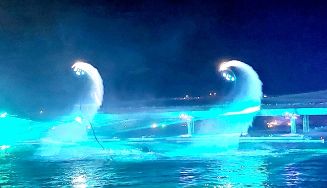 |
| 'The “Kiss of the Sea' show in Phú Quốc, An Giang Province.— VNA/VNS Photo |
Growth model
The coordinated planning of these five coastal subdivisions is expected to play a pivotal role in defining Phú Quốc’s future urban identity.
By aligning development with environmental sustainability, the plans aim to create a balanced model that integrates economic growth with natural conservation.
Clear and comprehensive planning documentation will provide a solid legal foundation, reducing the risk of overlapping or unregulated projects.
This clarity is particularly important in attracting international investors seeking long-term, stable opportunities in the tourism and service sectors.
Each subdivision is expected to develop its own distinctive character, contributing to a diversified tourism ecosystem across the island.
Together, they will elevate Phú Quốc’s position as a leading destination in Southeast Asia, transforming it into a truly world-class island that combines natural beauty with modern infrastructure and sustainable living. — VNS
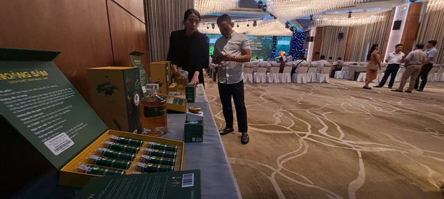
Life & Style
 Life & Style
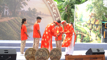
 Life & Style
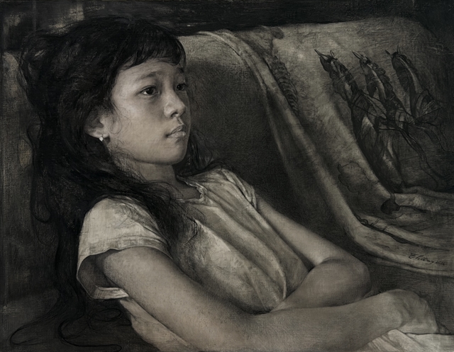
 Life & Style
 Life & Style
 Life & Style
 Life & Style
 Life & Style
 Life & Style
 Life & Style
 Life & Style
 Life & Style
 Life & Style
 Life & Style
 Life & Style