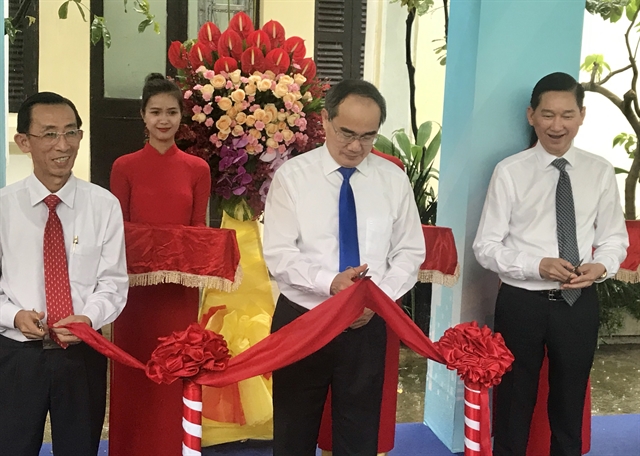
 Society

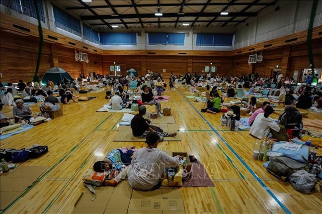
Vietnamese community in Japan gradually returns to normal after earthquake disaster
1.
|
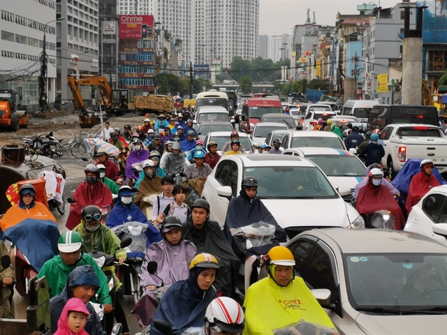
| Traffic congestion on Trường Chinh Street in Hà Nội after a heavy downpour on July 30. — VNA/VNS Photo Thành Đạt |
HÀ NỘI — Hà Nội is planning to build a real-time digital traffic map system similar to Google Maps within the year, according to the city’s transport department.
Given the frequent congestions in the capital city, the use of information technology to build a digital traffic map will help drivers identify the optimal route to get to their destination, Vũ Văn Viện, director of Hà Nội’s transport department, said in a document detailing the department's plan that was submitted to the Hà Nội People's Committee.
The department has proposed including all information about traffic infrastructure and vehicles, including the locations of gas stations, medical stations and tourist attractions.
The map will illustrate the route to the nearest site where the driver wants to reach, and will take into account street traffic and issue warnings about possible traffic jams.
The locations and photos of parking spaces, coach stations and drop-off and pick-up points for coach buses, complete with pricing, will also be available on the digital map.
The system, which is expected to cost VNĐ2 billion (US$86,500), uses data from traffic cameras across the city.
The servers for the system will be installed at the Hà Nội Transport Management and Operation Centre (TRAMOC) on No. 1 Kim Mã Street in Ba Đình District.
Although drivers use a variety of digital maps, including Google Maps and home-grown apps and sites such as Vietbando, Imap and Vietmap, there is still no standardised digital map system meant to be used at the State management level. — VNS
Society
 Society
 Society
 Society
 Society
 Society
 Society
 Society
She sometimes had to lug 100 kilograms of dried mushrooms on her old motorbike from a farm 20 kilometres from her home.
 Society
 Society
In spite of being implemented in 2011, the Government-supported agriculture insurance programme which aims to protect farmers against losses of crops and livestock has so far failed to attract farmers due to high fees and complicated procedures.
 Society
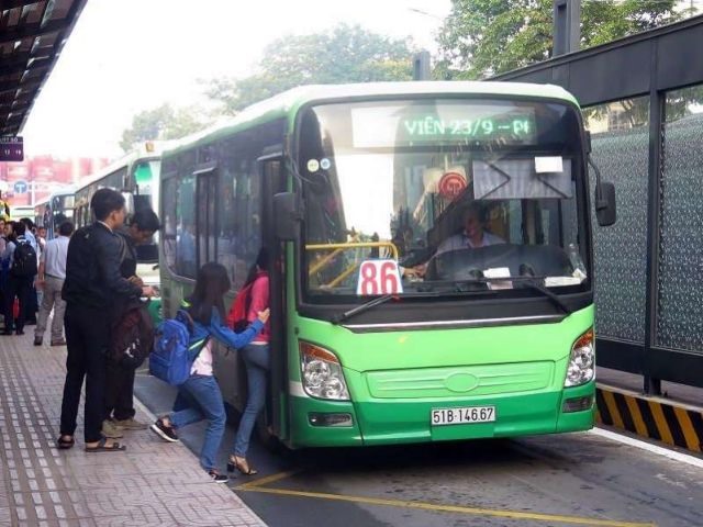
The HCM City Department of Transport plans to have a dedicated lane for public buses on Võ Thị Sáu and Điện Biên Phủ streets in District 3, which are highly congested during rush hour.
 Society
 Society
 Society
 Society