 |
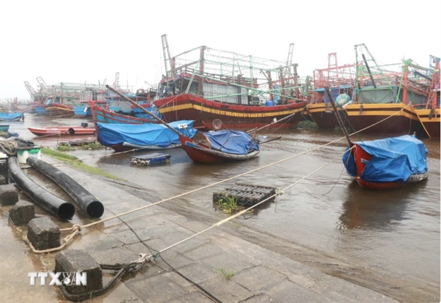
| The fishermen's boats are safely anchored. — VNA/VNS Photo |
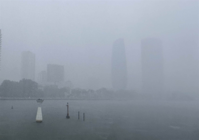
HÀ NỘI — A low-pressure area may form in the northern and central parts of the East Sea around June 22-23 that could intensify into a tropical depression or storm, according to the National Centre for Hydro-Meteorological Forecasting.
The tropical depression may directly affect the northern and central areas of the East Sea (internationally known as the South China Sea), including the waters around the Hoàng Sa archipelago and the Gulf of Tonkin over the following two days, reported the agency.
Forecasts indicate that approximately 65 - 75 per cent of this low-pressure area may intensify into a tropical depression, with a 20 - 30 per cent chance of developing into a storm.
In addition, due to the influence of the increasingly active southwest monsoon, the central and southern parts of the East Sea, including the waters around the Trường Sa archipelago, the waters from Bình Định Province to Cà Mau Province, from Cà Mau Province to Kiên Giang Province and the Gulf of Thailand, are expected to experience heavy rain showers and thunderstorms.
During those thunderstorms, there will be a chance of tornadoes and strong winds at levels 6 - 7, with wave heights potentially rising above two metres.
The waters from Bình Thuận to Cà Mau and the western part of the southern East Sea, including the western waters of the Trường Sa archipelago, are expected to have strong southwest winds at level 5 (29-38km per hour), sometimes reaching level 6 (39-49km per hour), with gusts at levels 7-8, rough seas and high waves of 1.5-2.5m.
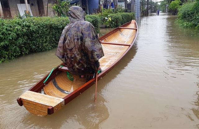
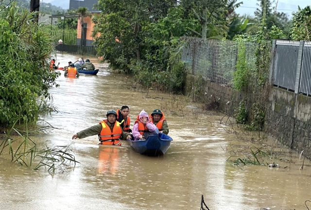
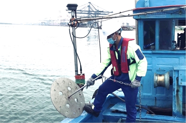
The Standing Office of the National Steering Committee for Natural Disaster Prevention and Control on Thursday has issued document No 246/VPTT to the Command for Natural Disaster Prevention and Control and Search and Rescue of the coastal provinces and cities from Quảng Ninh to Kiên Giang to prepare for emergency measures in case of worsening weather.
The committee asked the local offices of the Natural Disaster Prevention and Control and Search and Rescue be ready, to closely monitor warnings and watch weather bulletins in case of strong winds, high waves at sea and the potential formation of low-pressure areas in the coming days.
Warnings need to be sent to captains, owners of vessels and boats operating at sea to proactively prevent and develop appropriate production plans, ensuring the safety of people and property.
Local authorities should be prepared, keeping forces on alert in case they need to scramble rescue and relief operations. They should also maintain strict duty shifts and regularly report to the National Steering Committee for Natural Disaster Prevention and Control and the local offices of the National Committee for Disaster Incident Response and Search and Rescue. — VNS
 Society