 Society

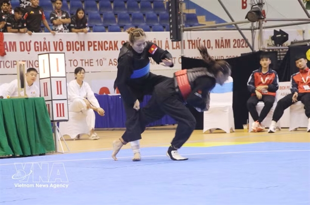
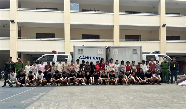
Fighting against human trafficking
1.
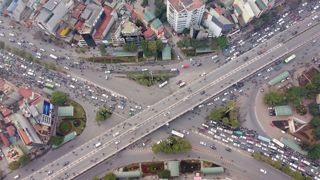 |
| The busy intersection Sở in Đống Đa District, Hà Nội. — VNA/VNS Photo Huy Hùng |
HÀ NỘI — The rapid increase of private vehicles along with poor infrastructure has caused increasingly complicated traffic in Hà Nội.
To thoroughly solve this problem, experts says Hà Nội needs Transit Oriented Development (TOD) which means streamlining and reducing the size of the residential areas, and connecting high-density residential areas with public transport.
According to a report of the Hà Nội Transport Department on traffic congestion in 2022, the number of traffic jam hot spots in the city has increased from 35 to 45.
Most of the hot spots of traffic congestion are in the radial and ring roads, and intersections near large urban areas and high-rise buildings.
In the past few years, many residents living in urban areas or apartment buildings along busy roads of Lê Văn Lương, Tố Hữu and Linh Đàm residential areas have been looking for ways to move because they have to face constant traffic jams.
There are inadequacies in urban planning associated with traffic planning and land use planning.
Asso. Prof. Dr. Hồ Ngọc Hùng, a lecturer of Architecture and Planning at Construction University, said that since Hà Nội’s urban master plan was approved in 2011, all proposed studies on urban transport came after the completion of land use planning.
“Because of this, the integration between traffic and land use of urban areas could not be considered properly,” said Hùng.
“This leads to imbalances with a high proportion of private vehicles such as cars and motorbikes while the increase in housing density in the city makes land use functions and traffic more complicated,” Hùng said.
In daily life, people in urban areas have to make many trips by different modes such as using public transport, walking, cycling, motorbikes and cars.
“Choosing a mode of transport in urban areas that does not depend on personal vehicles is a fundamental factor of traffic congestion and accidents,” said the lecturer.
“Therefore, land use planning must be concerned with creating conditions for people to easily and quickly access public transport so that they can give up private means of transport,” he said.
Land for public transport
Assoc. Prof. Dr. Vũ Hoài Nam, a lecturer of Bridge and Road Construction at Construction University, said that the construction of ring roads No. 2 and No. 3 and two-storey roads is necessary.
However, the city also needs to consider that roads for more personal vehicles will be very expensive and soon will lose their effectiveness, Nam said.
“Therefore, a number of separate lanes should be reserved on double-decker roads and ring roads for mass transit vehicles,” the lecturer said.
In addition, the use of highways and rail lines connecting to satellite cities should be done cautiously.
Using two parallel passenger transport corridors has never been considered a good thing as this will likely lead to highways being congested while public transport lines are deserted and require huge state subsidies. This will cause big losses and a burden to the State budget.
This is the lesson learnt from Seoul 20 years ago, which had an urban planning very similar to the current planning of Hà Nội, Nam said.
The capital city is making adjustments to the Construction Master Plan 2030, with a vision to 2050, in association with the Hà Nội Urban Development Programme 2030, with a vision to 2050, to meet development needs.
In order to ensure urban sustainable development, many experts said that it is essential to properly integrate traffic planning with land use planning in the process of developing the urban space.
This integration needs to be done in all planning stages from general planning and zoning to detailed planning.
“Changing planning thinking takes a long time to realise and apply,” Nam said.
“The long-term solution is to re-plan residential areas, even long-standing ones, in the direction of compactness, utility, mixed land use, and connection of high-density residential chains by public transport,” he added. — VNS
Society
 Society
 Society
 Society
 Society
 Society
 Society
 Society
 Society
 Society
 Society
 Society
 Society
 Society