 Environment

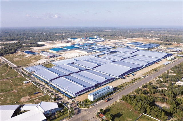
Masan posts record profit as consumer business maintains double-digit growth
1.
|
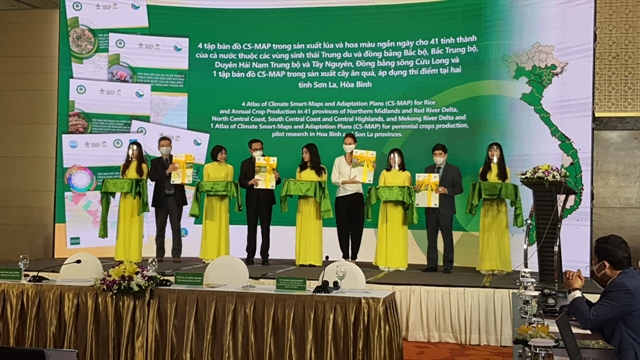
| The Ministry of Agriculture and Rural Development on Tuesday launched Climate-Smart Maps and Adaptation Plans (CS-MAP). Photo courtesy of the ministry |
HÀ NỘI — To help farmers manage climate-related risks such as flooding, drought and saline intrusion, the Ministry of Agriculture and Rural Development launched the Climate-Smart Maps and Adaption Plans (CS-MAP) on Tuesday.
CS-MAP integrates local knowledge and science-based research to provide location-specific risk maps and adaptation plans for rice production. The project currently covers five ecological regions of Việt Nam and was developed by the Ministry’s Crops Production Department and CGIAR Research Program on Climate Change, Agriculture and Food Security in Southeast Asia (CCAFS SEA).
A conference for the launch of CS-MAPS was held in Hà Nội on Tuesday, organised by the Department of Crop Production (DCP) of CCAFS SEA. The socio-economic impact of the project at both a national and international level were discussed, as well as ways policy can be developed in support.
An instructional video and five atlases have been produced to help guide the use of CS-MAPS. Using colourful illustrations and animations, the video is an easy-to-understand and enjoyable reference to materials on CS-MAP.
DCP and CCAFS SEA have also published a guidebook, to help technical officers and professional agencies at different administrative levels implement CS-MAP.
Both the guidebook and instructional video are available in English and Vietnamese.
Five compilations of CS-MAP's, for the major agro-ecological regions of Việt Nam, were launched at the event. The CS-MAP atlases are for Mekong River Delta, Northern Midlands and Delta, South Central Coast and North Central Coast.
These publications contain maps, both for normal and extreme years, covering 43 provinces of the country. All materials are publicly accessible on the CCAFS SEA's official Youtube channel and the CGSpace and CCAFS SEA websites.
Chairing policy dialogue on the use of CS-MAP on Tuesday, Deputy Minister of Agriculture Lê Quốc Doanh said that the CS-MAP publications would be helpful to farmers in planning production schemes and increase the efficiency of soil and water resource use.
Doanh said that Việt Nam's agriculture plays an important role in ensuring food security, social stability and livelihoods for over 60 per cent of the population in rural areas, contributing 14.85 per cent of the country's GDP.
Despite the impact of the COVID-19 pandemic, climate change and natural disasters, agriculture has maintained a high growth rate, ensuring food security for nearly 100 million people in Việt Nam in 2020.
Việt Nam’s agricultural export turnover reached US$41.53 billion, an increase of 3.3 per cent compared to 2019. Particularly in the first 9 months of this year, export of agricultural products reached $35.5 billion, up to 18 per cent over the same period last year. Of that, the export of crop products reached $15.8 billion.
“Việt Nam is deeply aware of the issue of climate change response and adaptation, turning the disadvantages of climate change into advantages. To carry out this task, we have been and will continue to focus on changing crop structures, changing seasons, selecting and creating plant varieties and applying appropriate technical advances,” Doanh said.
Nguyễn Như Cường, Head of the Crops Production Department, said that the CS-MAP can be integrated into national and local policies and plans, such as in the National Plan to Adapt to Climate Change, Nationally Determined Contribution to Climate Change Mitigation in the Agricultural Sector, and the National and Regional Agricultural Restructuring Plan for the Period 2021-2025.
At a local level, CS-MAP is a tool for climate change adaptation and disaster prevention. It is proposed that it be included in the socio-economic plan for the period 2021-2030, an action plan to respond to climate change for the period 2021-2030, and agricultural land use planning including rice land conversion, he said. VNS
Environment
 Environment
 Environment
 Environment
 Environment
 Environment
 Environment
 Environment
 Environment
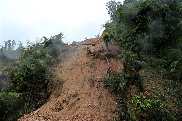
Torrential rain, triggered by typhoon Kompasu, will blanket the northern and central regions from Wednesday afternoon.
 Environment
 Environment
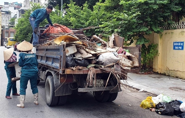
The Vietnamese Government has set a goal to raise the rate of solid waste collected and safely treated to 100 per cent in 2050 as part of the freshly approved national strategy on green growth for 2021-2030.
 Environment
 Environment
 Environment
 Environment
Local rangers and management of the Chàm Island Maritime Protected Area (MPA) have released an endangered pangolin (Manis Javanica) back to the wild on the Chàm Islands after locals found the animal.