 |
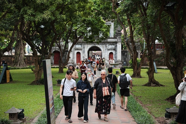
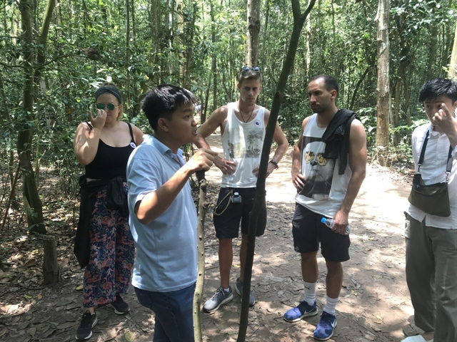
| Foreign tourists visit the Vàm Sát Ecological Tourist Area in Cần Giờ District, about 40km from downtown HCM City. — VNS Photo Bồ Xuân Hiệp |
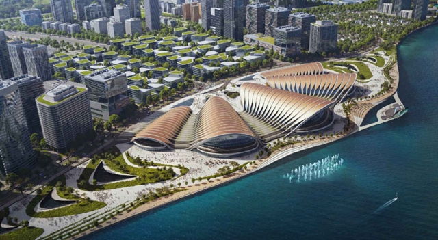
HCM CITY — HCM City authorities have announced plans to develop the coastal region of Cần Giờ and the areas adjacent to the Saigon River into key tourist destinations, as part of the efforts to boost its tourism sector.
Speaking at a recent meeting, Nguyễn Thị Ánh Hoa, director of the Department of Tourism, discussed the city’s vision for a comprehensive tourism development strategy aimed at 2030.
The city will hold a conference to unite the local tourism community around two principal initiatives: the establishment of the Cần Giờ National Tourism Area and the enhancement of the National Tourism Area along the Saigon River.
Feedback is being solicited from various departments to present to the municipal People's Committee and People's Council, according to Hoa.
The collaborative effort aims to facilitate the formulation of supportive policies aimed at attracting a greater number of visitors, training tour guides for diverse markets, and intensifying promotional activities.
The team is also engaging with experts to devise innovative policies that foster regional cooperation, promote sustainable tourism practices, and utilise special mechanisms in order to realise these initiatives.
As part of its tourism strategy by 2030 with a vision to 2045, Việt Nam has identified 61 potential sites for national tourism development, including Cần Giờ.
The city recently announced plans to attract nearly $9 billion in private investment to transform Cần Giờ into an ecological urban area.
The People's Committee has already approved the Cần Giờ coastal urban development project covering 2,870 hectares.
Situated close to the Cần Giờ Mangrove Biosphere Reserve, the project will encompass Long Hòa Commune and Cần Thạnh Town, near the Xoài Rạp and Lòng Tàu rivers, and various popular tourist attractions.
It aims to generate 25,000 jobs and accommodate 230,000 residents through four subdivisions, which will include resorts, a smart city, and residential areas.
The planning phase is projected to take six months, followed by 11 years of implementation and 50 years of operational oversight.
Cần Giờ, characterised by its 13-km coastline and extensive mangrove forests, is poised for significant growth in the eco-tourism and resort sectors.
Located 40km from the city centre, it spans over 70,412 hectares, incorporating more than 33,000 hectares of mangroves recognised as a UNESCO biosphere reserve.
Despite limited ferry access, plans for new bridges are underway to enhance connectivity and stimulate tourism, which has already seen a 50 per cent annual increase, with a target of 8.9 million visitors per year.
As the city’s only coastal area, Cần Giờ District features key tourist sites such as Monkey Island, Vàm Sát Ecological Tourist Area, and Sác Forest.
Cần Giờ also hosts the annual Nghinh Ông (Whale Worshiping) Festival, recognised as a National Intangible Cultural Heritage.
Riverside tourism
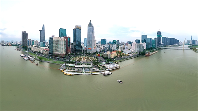 |
| Bạch Đằng Wharf Park, located by the Saigon River in HCM City’s District 1, seen from an aerial perspective. — VNA/VNS Photo |
In addition, the city also plans to build 42 parks along the Saigon River to boost green spaces, economic growth, residents' quality of life, as well as to attract tourists.
The initiative is part of the city's vision for a riverside tourism economy by 2045, covering areas such as Thủ Đức City and Districts 1, 4, 7, and 12.
The project will integrate multifunctional green infrastructure to improve connectivity and align with the city's master plan.
The plan, which is grounded in expert consultations and research, will be implemented in phases and coordinated with riverside infrastructure across various regions.
The Saigon River stretches 256km, originating in Bình Phước Province and flowing through Tây Ninh, Bình Dương, and HCM City.
Within HCM City, the river spans over 80km, meandering through urban areas and forming significant peninsulas, including Thanh Đa and Thủ Thiêm.
The city is home to over 400 parks, yet only 500 hectares of green space, which translates to a mere 0.55 square metres per person for its over 10 million residents. — VNS
 Society