 |
| Typhoon Kong-rey is expected to strengthen and may approach the East Sea. Photo courtesy of the National Centre for Hydro-Meteorological Forecasting |
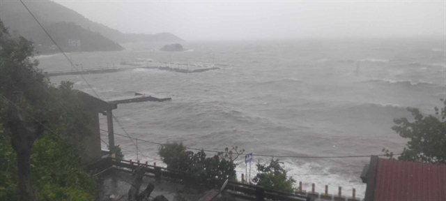
HÀ NỘI – Typhoon Kong-rey, currently near the Philippines, is forecast to intensify and possibly approach the East Sea, according to the National Centre for Hydro-Meteorological Forecasting.
Vũ Anh Tuấn, the deputy head of weather forecasting at the centre, noted that Kong-rey is active near Luzon Island, Philippines. As of 1 pm on Sunday, the typhoon was over 1,000 km offshore and continued to gain strength while moving westward.
"However, recent data indicates that the storm is shifting slightly to the left and may follow a lower trajectory than initially predicted," Tuấn explained.
This adjustment means there is a possibility that Kong-rey could move closer to the East Sea region. "The National Centre for Hydro-Meteorological Forecasting is closely monitoring the typhoon to provide updates," he added.
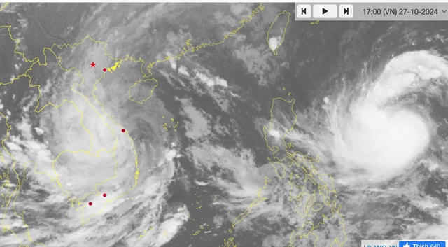
The Japan Meteorological Agency reported that as of 4 pm on Sunday, Kong-rey was located at approximately 16.9 degrees North latitude and 130.5 degrees East longitude. The maximum wind speed near the centre of the typhoon reached 20 mps, with gusts of 30 mps.
The agency forecasts that the typhoon will continue moving westward today, then shift northwest and eventually north-northwest towards Taiwan. The storm may strengthen to 45 mps with gusts reaching 60 mps.
Similarly, the Hong Kong Meteorological Agency forecasts that Kong-rey could escalate into a super typhoon with winds of 185 kph. – VNS
 Environment