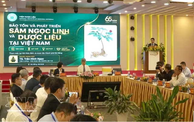
 Society

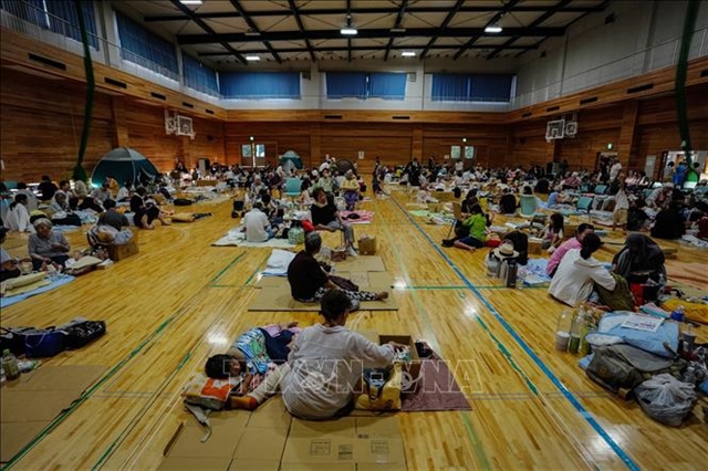
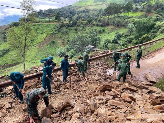
Vietnamese community in Japan gradually returns to normal after earthquake disaster
1.
|
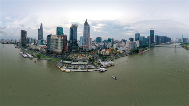
| The Bạch Đằng Wharf Park, located by the Saigon River in HCM City’s District 1, is seen from an aerial perspective. — VNA/VNS Photo |
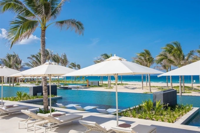
HCM CITY — HCM City has announced plans to build 42 parks along the Saigon River to enhance green spaces, stimulate economic growth, and improve the quality of life for residents.
The initiative is a key component of the city’s vision for developing a riverside service economy by the year 2045.
The project encompasses the Saigon River corridor, traversing Thủ Đức City, districts 1, 4, 7, and 12, and Bình Thạnh District, and the suburban districts of Củ Chi and Hóc Môn.
The development strategy emphasises the integration of multifunctional green infrastructure to improve connectivity and align with the overarching adjustments to the city’s master plan.
These parks are strategically designed to leverage the potential of the Saigon River, fostering a service-oriented economy and enhancing the urban landscape.
According to the city People’s Committee, the plan, grounded in expert consultations and research, will be implemented in phases and coordinated with riverside infrastructure across various regions.
The Saigon River stretches 256 kilometres, originating in Bình Phước Province and flowing through Tây Ninh, Bình Dương, and HCM City.
Within HCM City, the river spans 80 kilometres, meandering through urban areas and forming significant peninsulas, including Thanh Đa and Thủ Thiêm.
Currently, HCM City has around 400 parks but only 500 hectares of green space, equating to just 0.55 square metre per person for its over 10 million residents. — VNS
Society
 Society
 Society
 Society
 Society
 Society
 Society
 Society
 Society
 Society
 Society
 Society
 Society
 Society
 Society