 Society

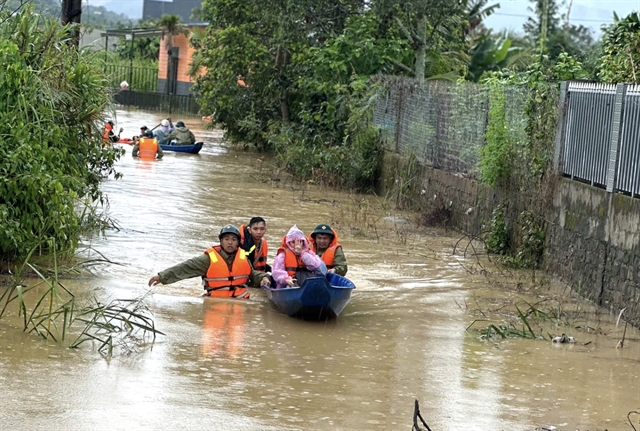
Lâm Đồng races to repair flood damage after days of heavy rain
1.
Smart traffic measures will be applied to digital maps for road transport along more than 20,000km of highway stretching across the country.
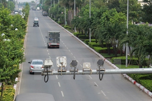 |
| Cameras are installed on a highway to supervise vehicles’ itinerary. Smart traffic measures will be applied to digital maps to better traffic safety. – VNA/VNS Photo Sỹ Tuyên |
HÀ NỘI – Smart traffic measures will be applied to digital maps for road transport along more than 20,000km of highway stretching across the country.
It is part of a project proposed by the Directorate for Roads of Vietnam to the Ministry of Transport.
If the project is successful, the directorate will propose an appropriate itinerary to expand the project across more than 128,000km of urban roads in various provinces and cities.
Some VNĐ446.5 billion (US$19.8 million) from the State budget and other legal sources are expected to be contributed to the project.
Under the project guidelines, transport experts will collect transport data to update a digital map. They will set up web and mobile applications to gather transport data, supervise vehicles’ itineraries, check traffic routes, control vehicles’ speed and provide guidance to vehicles to ensure they meet load capacity regulations.
The data will help keep track of road works and will supply information that is needed for maintenance.
The project will also help transport managers share forecasts related to travel, public transport and transport infrastructure, according to the directorate.
The project has been divided into different stages.
During the first stage, to be completed in the 2016-17 period, experts will collect data on a 20,000km stretch of highway, with VNĐ198 billion ($8.8 million) in funds.
In the next stage, conducted from 2018 to 2024, the directorate will propose a suitable plan to gradually expand the project to more than 128,000km of roads in urban areas. Funding for this stage will amount to VNĐ248.5 billion ($11 million). – VNS
Society
 Society
 Society
 Society
 Society
 Society
 Society
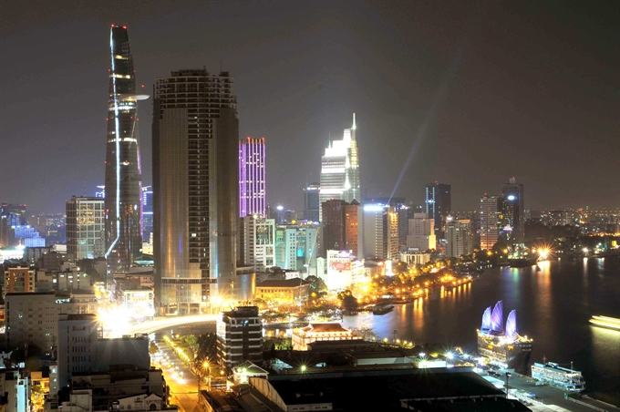
HCM City’s Party Committee plans to establish a steering committee to provide guidance on developing the southern metropolis into a smart city that would improve the quality of life of its residents.
 Society
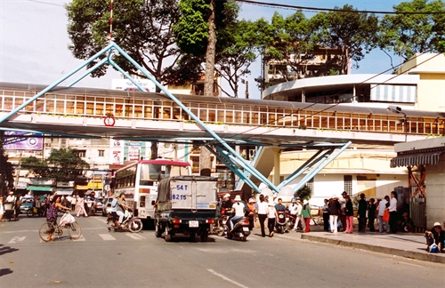
Five pedestrian overbridges will be built in HCM City’s Districts 3, Gò Vấp, Phú Nhuận, and Bình Thạnh and on Highway 1A this year, according the city’s Urban Traffic Management Zone No.1.
 Society
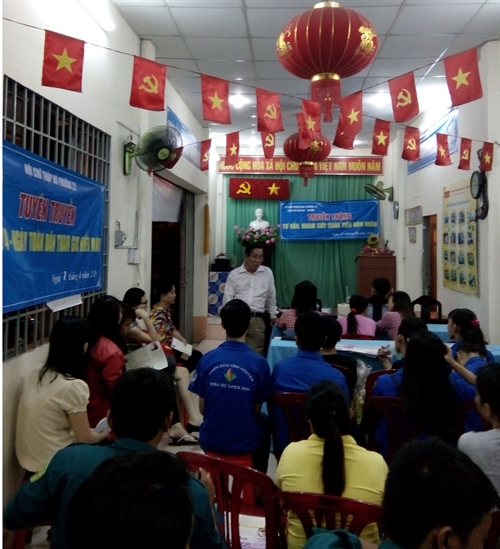
In a small house used for cultural, social and educational activities in Bình Thạnh District’s Ward 26, a group of young people was initially embarrassed when a young doctor explained how to use condoms. They were reluctant to answer questions about safe sex, causes for childlessness, reproductive health care and contraceptive methods.
 Society
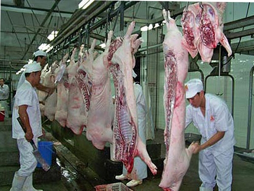
HCM City’s plan to set up a mechanised slaughterhouse system replacing the existing manual one has been stymied for more than a decade after getting entangled in red tape.
 Society
As many as 748 sets of remains of Vietnamese experts and volunteers have been repatriated from Cambodia during the 2015-2016 dry season, as heard at the 15th meeting of the Vietnamese and Cambodian special task committees in HCM City yesterday.
 Society
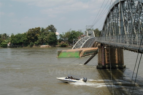
The country needs nearly VNĐ825 billion (US$36.7 million) to ensure waterway traffic safety and upgrade waterway infrastructure by 2018, the latest report of the Vietnam Inland Waterways Administration (VIWA) said.
 Society
The charity blood drive “Giọt hồng đất lửa” (Red drops of blood on heroic land), held in the central province of Quảng Trị yesterday, collected nearly 450 units of blood.
 Society
Tân Sơn Nhất International Airport’s customs officials said yesterday that they arrested a Vietnamese-Australian passenger for allegedly transporting 14 cakes of heroin from Việt Nam to Australia.
 Society
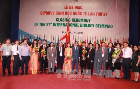
The 27th International Biology Olympiad (IBO) has wrapped up in Hà Nội after a week of numerous activities.