 Society

Hà Nội's path to green growth
1.
 |
| Airports in Vinh, Thọ Xuân, and Đồng Hới are forecast to lie directly in the storm’s path, while Phú Bài and Đà Nẵng could experience severe gusts from Bualoi’s circulation. |
HÀ NỘI — The Civil Aviation Authority of Việt Nam (CAAV) has ordered the temporary suspension of flight operations at several central airports as powerful typhoon Bualoi approaches, citing urgent safety measures.
Under the emergency directive, the following closures will take effect (local time):
The CAAV said the move is intended to ensure absolute safety for flight operations, passengers, and assets. Airports in Vinh, Thọ Xuân, and Đồng Hới are forecast to lie directly in the storm’s path, while Phú Bài and Đà Nẵng could experience severe gusts from Bualoi’s circulation. Other airports towards the north, including Nội Bài, Vân Đồn, Cát Bi, and Chu Lai, have been instructed to maintain round-the-clock readiness in case the storm shifts course.
The aviation authority also directed operators to strengthen inspections of runways, communications systems, and flood prevention measures, as well as to secure equipment. Construction projects at Cát Bi, Vinh, and Đồng Hới airports must be suspended, with contingency plans deployed immediately.
The Việt Nam Air Traffic Management Corporation (VATM) has been tasked with closely monitoring developments and issuing continuous meteorological warnings. Airlines are required to proactively adjust flight schedules and operations to minimise disruption.
Weather disruptions have already been felt. On September 27, thunderstorms in Đà Nẵng City forced several Vietnam Airlines flights to circle before landing, while Vietjet flights from HCM City and Busan were diverted to Cam Ranh before returning once conditions improved.
According to the National Centre for Hydro-Meteorological Forecasting, the typhoon is moving at an unusually high speed of 35–40 km/h, nearly twice the average, and is expected to make landfall in Hà Tĩnh, Quảng Trị provinces' area.
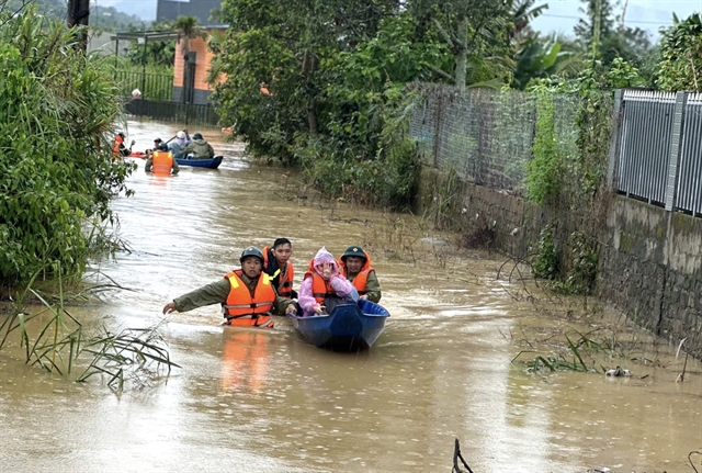
Forecasters warned that Bualoi’s unusually rapid movement reduces the likelihood of a change in course, making a northern shift increasingly unlikely. Its wide circulation has already triggered heavy rainfall across Quảng Trị, Huế, and Đà Nẵng, with more intense downpours forecast overnight. The storm could bring Level 12 winds (118–133 km/h) upon landfall and heavy rainfalls, which would trigger flash floods, landslides, and severe urban flooding.
The NCHMF has placed coastal provinces from Nghệ An to northern Quảng Trị under disaster risk level 4 (very high), urging local authorities and residents to take urgent precautions.
The CAAV said it will continue to issue timely updates to airlines, airports, and passengers to ensure safety in all circumstances. — VNS
Society
 Society
 Society
 Society
 Society
 Society
 Society
 Society
 Society
 Society
 Society
 Society
 Society
 Society
 Society