Society

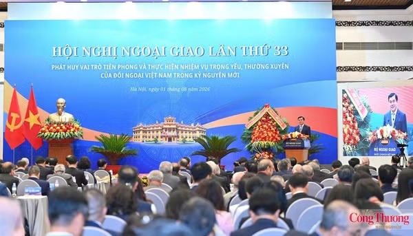
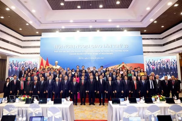
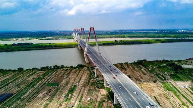
33rd Diplomatic Conference: Foreign affairs to help shape new era of national development
1.
The Ministry of Agriculture and Rural Development has launched a online map website featuring eroded sites along rivers and the coast in the Cửu Long (Mekong) Delta in an aim to reduce losses from the increasing number of landslides that have occurred in recent years.
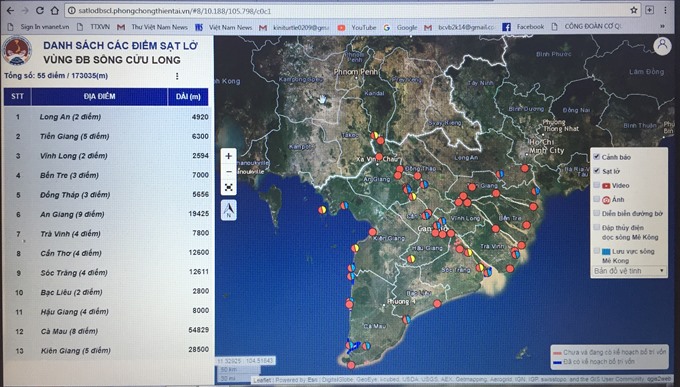 |
| An online map website integrating the Geographical Information System (WEBGIS) provides information about eroded sites along rivers and sea coasts in the Mekong Delta. — VNS Photo |
MEKONG DELTA — The Ministry of Agriculture and Rural Development has launched an online map website featuring eroded sites along rivers and the coast in the Cửu Long (Mekong) Delta in an effort to reduce losses from the increasing number of landslides that have occurred in recent years.
The online map website integrating the Geographical Information System (WEBGIS) was introduced at a conference held in Hà Nội on Monday (June 18).
The map was created by the Việt Nam Disaster Management Authority at the Ministry of Agriculture and Rural Development in collaboration with other scientific research agencies.
The website https://satlodbscl.phongchongthientai.vn shows locations, images and videos of sites high risk of landslides in the Mekong Delta.
Climate change has seriously affected socio-economic development of provinces and cities in the delta, especially in locations near rivers and sea coasts.
The number of erosion incidents has been increasing, threatening property and people’s lives.
According to the Ministry of Agriculture and Rural Development, there are 562 eroded sites along rivers and sea coasts extending 786km that have caused damage to the region. These include 513 river sites and 49 coastal sites.
Of the figure, 55 of the eroded sites over a length of 173km are considered “very dangerous” and need to be resolved as soon as possible.
The delta needs nearly VNĐ7 trillion (US$308 million) to address problems at eroded sites.
Trần Quang Hoài, director general of the Việt Nam Disaster Management Authority, said the ministry, in collaboration with agencies and localities, should classify the severity and type of landslides to find immediate and long-term solutions.
He directed local agencies to continue to update information on WEBGIS.
The Government plans to grant 1.5 trillion ($65.5 million) from State budget to the delta to solve problems at "very dangerous" eroded sites and to build a basic database of eroded sites.
Hoàng Văn Thắng, deputy minister of Agriculture and Rural Development, said the map would help leaders in the delta take steps to prevent and control erosion incidents.
Localities and agencies in the delta will receive training on how to use the map.
The ministry has also provided guiding documents to localities on how to install warning signs at eroded sites; resettle households living in erosion-prone areas; and tighten management of sand exploitation along rivers and coastal areas. — VNS
Society
 Society
 Society
 Society
 Society
 Society
 Society
Nearly 40 per cent of Foreign Direct Investment (FDI) enterprises in Việt Nam are in shortage of employees and have struggled with recruiting new labourers, said an official of Ministry of Labour, Invalids and Social Affairs.
 Society
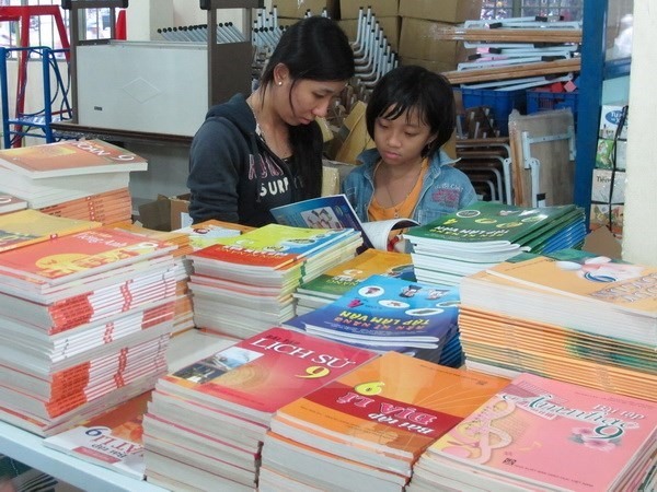
Moves to reform textbooks and the general education curriculum must be undertaken to reduce work overload among students, the Prime Minister said in an instruction.
 Society
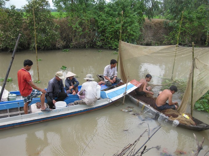
Local authorities in Đồng Tháp Province will ban fishing in the breeding season from May to June to proctect aquatic resources in the province.
 Society
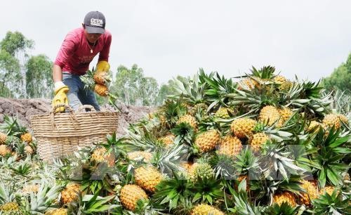
Many pineapple farmers in Tiền Giang Province’s Tân Phước District, the largest pineapple planting area in the Cửu Long (Mekong) Delta, are taking losses because of fluctuating prices caused by an oversupply.
 Society
Lê Thanh Vân, a standing member of the Finance and Budget Committee of the National Committee talks to the newspaper Tiền Phong (Vanguard) on the need to highlight the idea of transparency in the fight against corruption in the Law on Anti Corruption.
 Society
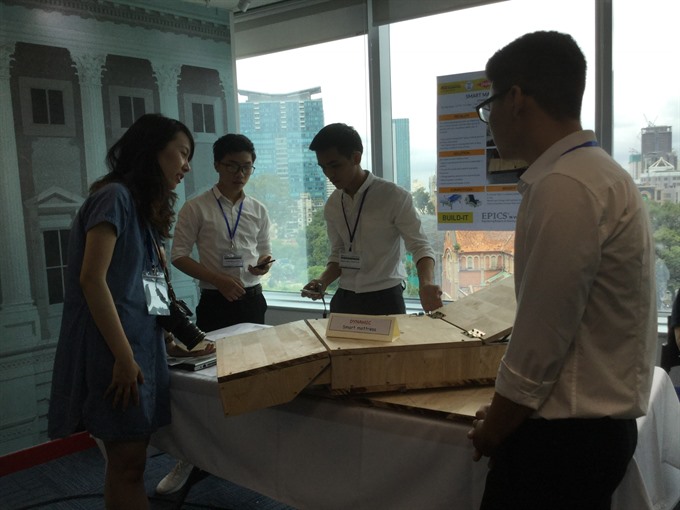
A smart mattress that helps the elderly change posture and direction is one of three winning engineering projects in the Engineering Projects in the Community Service Programme, launched in January by USAID.
 Society
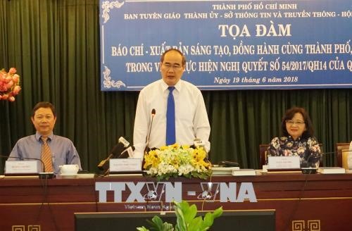
HCM City Party Committee Secretary Nguyễn Thiện Nhân yesterday (June 19) asked city authorities to offer more financial assistance and new policies for print newspapers, television channels, radio stations, and online news sites for continued development.
 Society
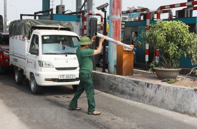
The Ministry of Transport (MoT) has reported to the government about the operation of Tân Đệ Build-Operation-Transfer (BOT) toll station in the northern province of Thái Bình.
 Society
Applications are open for the inaugural KMS Hackathon, a 30-hour programming competition.