 Economy


Beleaguered PNJ unveils restructuring, capital raising plans
1.
|
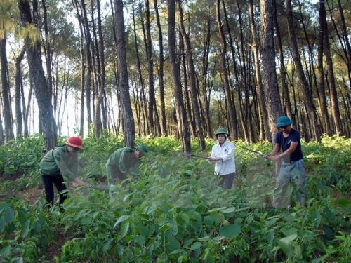
| A forest in Lào Cai Province. — VNA/VNS Photo |
HÀ NỘI — The Ministry of Agriculture and Rural Development’s Department of Forestry on Tuesday unveiled the 2020 Forest Boundary Map, Version 1.0 (VFM2020.v1), with an aim to help businesses meet the European Union Deforestation Regulation (EUDR).
The map provides reference data to help businesses in the timber, coffee and rubber sectors assess their sourcing areas, ensure traceability and compile evidence for compliance with the EUDR.
This foundational dataset serves as a resource for regulatory authorities, local governments and businesses to verify and cross-reference information regarding the status of forests, thereby enhancing transparency within the supply chains of exported commodities.
Speaking at the launch, Nguyễn Văn Diện, deputy director of the department, said that the EUDR imposes rigorous requirements concerning legality, traceability and the provision of evidence to prove that products are not linked to deforestation or forest degradation occurring after December 31, 2020.
Meeting these requirements presents both a challenge and an impetus for Việt Nam to innovate its management practices, accelerate the digital transformation of forest resource data, and bolster the reputation of its products in the international market.
In this context, the map has been developed to provide a unified source of spatial information nationwide, enabling businesses to pinpoint their sourcing areas and cross-reference them against forest data as of 2020. The map is integrated into a WebGIS platform and accessible at eudr.vnforest.gov.vn, facilitating easy lookup and data retrieval.
However, Diện noted that the map serves only as a reference document for verification and cross-checking purposes. It is not the sole basis for determining whether a product complies with the EUDR. Businesses are still required to fully meet all regulatory requirements and provide traceability documentation along with relevant supporting evidence.
According to Phạm Văn Duẩn, deputy director of the Institute of Forest Ecology and Environment, the map was developed in a context where businesses must rely on various map sources to verify information for EUDR compliance. Establishing a unified reference dataset provides stakeholders with an additional basis for identifying areas that require further verification.
The map was developed by integrating 2020 forest data provided by local authorities, remote sensing imagery, international reference maps and the findings of local-level reviews. Areas where discrepancies emerged between different data sources were flagged for verification against forest management records and on-the-ground information.
The development process comprised six key stages: standardising 2020 forest data, reviewing maps of the three designated forest categories, assessing the reliability of various information sources, analysing changes via remote sensing imagery, conducting local-level validation and finalising the database within a WebGIS system.
A notable point discussed during the launch was the comparison between the VFM2020.v1 dataset and the GFC2020 (version 4) map, developed by the European Commission’s Joint Research Centre (JRC).
According to Phạm Ngọc Hải from the Forest Inventory and Planning Institute under the Vietnamese Academy of Forest Sciences, comparing these two data sources aims to assess their level of alignment, identify areas of discrepancy and propose improvements to the maps to support the implementation of the EUDR.
The comparison, conducted within forest land areas covered by the VFM2020.v1 dataset, reveals a 78.5 per cent consensus between the two maps, and a 21.5 per cent rate of discrepancy. Specifically, for natural forests, the level of agreement reaches 92 per cent.
However, approximately 1.73 million hectares classified as forest in the VFM2020.v1 dataset are not categorised as forest in the JRC map. Conversely, about 2.25 million hectares identified as forest by the JRC are classified as non-forest in the VFM2020 dataset.
According to Phạm Ngọc Hải, these discrepancies may stem from differences in the objectives, scope and classification methodologies used for each map. For instance, certain areas under rubber or coffee cultivation might be categorised as ‘forest’ in VFM2020, whereas the JRC does not classify them as such. Conversely, areas containing shrubs or regenerating vegetation might be identified as forest by the JRC, but are not classified that way in Việt Nam’s dataset.
The comparison results also help identify priority areas for refinement, such as reviewing commercial crop areas currently labeled as forest, updating changes that have not yet been fully captured and re-examining the classification of natural versus planted forests in areas where discrepancies exist.
The Department of Forestry and the Forest Protection Department noted that the release of VFM2020.v1 does not mark the end of the mapping process. Rather, it serves as a starting point for ongoing verification, updating and quality improvement, based on empirical evidence and feedback from specialised agencies, local authorities and businesses.
The Department of Forestry and the Forest Protection Department will collaborate with scientists, specialised agencies and local authorities to review and address remaining discrepancies through a standardised procedure. — BIZHUB/VNS
Economy
 Economy
 Economy
 Economy
 Economy
 Economy
 Economy
 Economy
 Economy
 Economy
 Economy
 Economy
.jpg) Economy
 Economy
 Economy