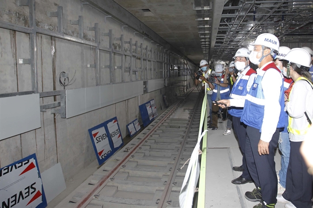
HCM City’s first metro line in between Bến Thành Market in District 1 and Suối Tiên Theme Park in Thủ Đức city will start trial operations at the end of this year as scheduled, according to its operator.
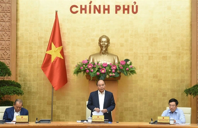
Prime Minister Nguyễn Xuân Phúc on Wednesday asked ministries to study reopening international flight routes as well as prepare for the use of 'vaccine passports' and controlled international trade.
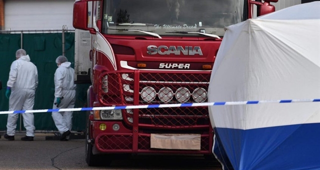
A 23-year-old man from Northern Ireland was due to appear in court in England later today (UK time) charged in connection with the deaths of 39 Vietnamese migrants.
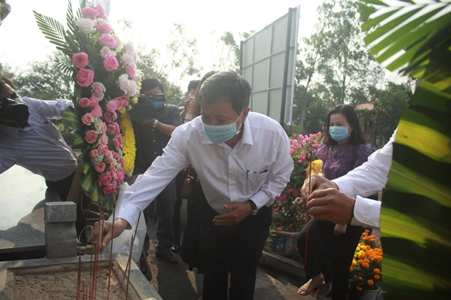
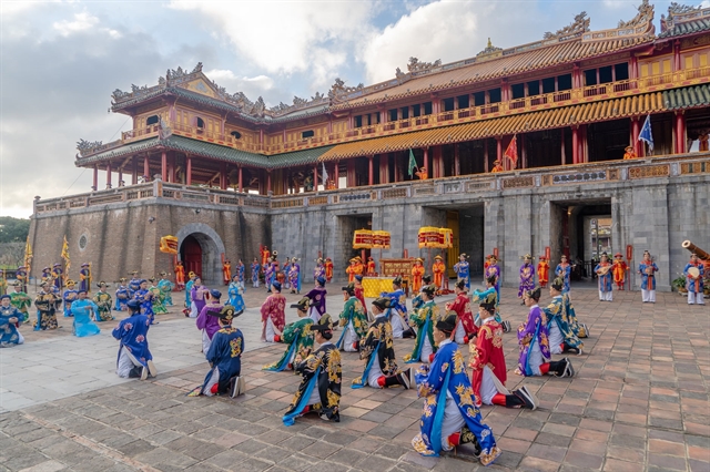
The incident went down in history as a horrific crime committed against Sơn Mỹ residents, as well as the Vietnamese people.
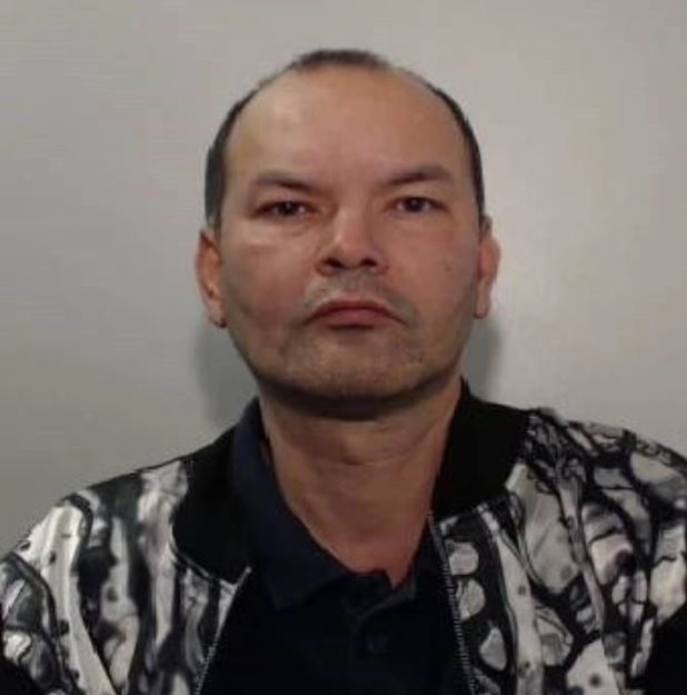
A Vietnamese drug dealer who smuggled migrants into the United Kingdom to work in cannabis farms has been jailed for 11 years.
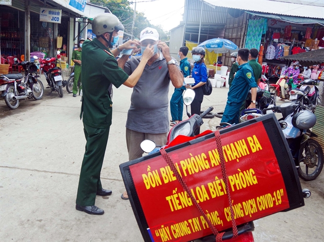
Over the last year, people living in border areas of the southern province of Sóc Trăng have gotten used to seeing border guards carry a loudspeaker on their motorbikes telling them how to protect themselves from COVID-19.
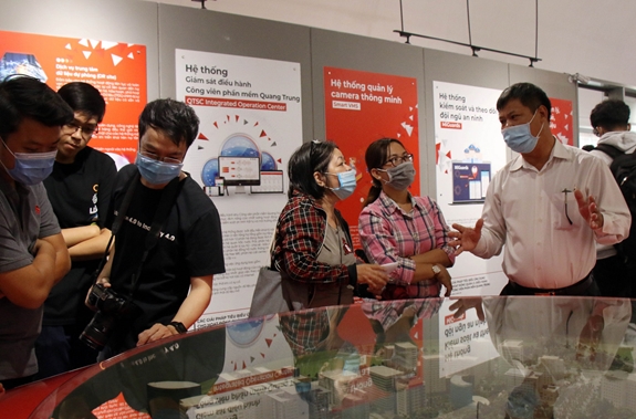
The Quang Trung Software Park in HCM City has inaugurated a museum displaying and introducing IT products and solutions created in the park over the past two decades.
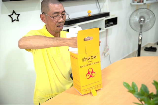
As well as rebuilding his own life, Nguyễn Minh Hiếu has set up a volunteer group to help local drug addicts get back to normal life.
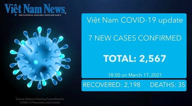
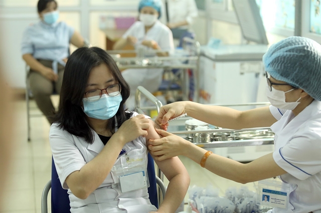
The side effects those receiving the Oxford/AstraZeneca COVID-19 vaccine in Việt Nam have experienced have been within the permitted threshold, according to the leader of the national inoculation efforts.
The HCM City People’s Committee has recognised the Việt Nam National University Ho Chi Minh City (VNUHCM) as a hub of science, technology, culture, and knowledge in the city’s innovative eastern area.
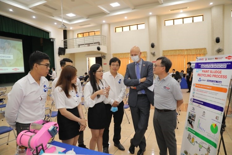
Six projects by university students that were displayed on March 16 at the eProjects Innovation Showcase contest at the Cao Thắng Technical College in HCM City mostly focused on environmental pollution and waste management solutions.
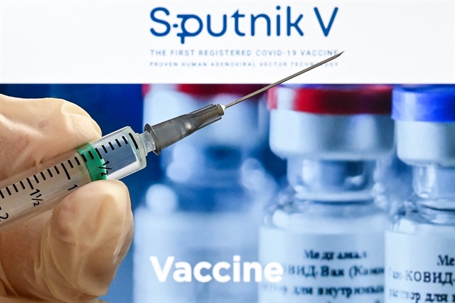
Russia gave Việt Nam 1,000 doses of its COVID-19 vaccine Sputnik V as a gift on Tuesday morning, according to an announcement from the health ministry.
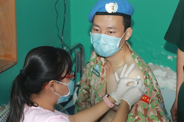
Seventy medics, who will leave for the United Nations’ peacekeeping mission in the Republic of South Sudan on March 24, received the first dose of COVID-19 vaccine at the 175 Military Hospital in HCM City on Tuesday morning.
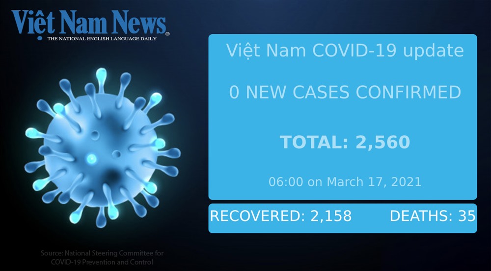
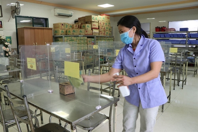
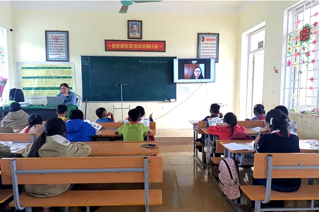
Students in some districts of the northern Hải Dương Province, Việt Nam’s biggest COVID-19 cluster to date, will return to school next week as the local authorities lift a number of social distancing restrictions.
The south will continue experiencing hot weather with the highest temperatures forecast to reach up to 36 degrees Celsius over the next four days.
.jpg)