 Society

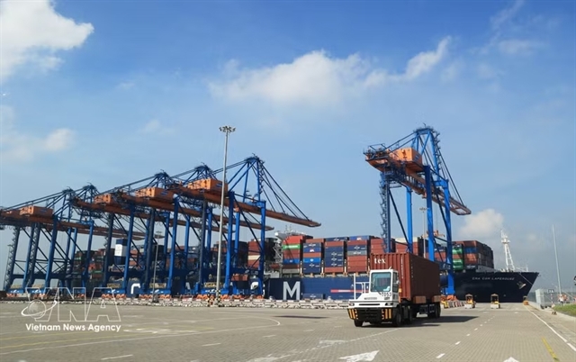
Impressive growth poses macroeconomic balancing challenge: experts
1.
|
| Illustrative image. VNA/VNS Photo |
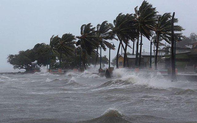
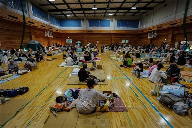
HÀ NỘI — The north region is forecast to experience heavy rain, flash floods and landslides due to a low-pressure system in the East Sea that may grow into a tropical depression.
At 1pm on Thursday, the eye of the low-pressure system was positioned at 17.7 degrees north and 118.4 degrees east, according to the National Centre for Hydro-Meteorological Forecasting.
The strongest wind speeds near its eye were 60-75km per hour.
The centre on Thursday predicted the system would move west at 20km per hour.
At 1am on Friday, the tropical depression system is predicted to be at about 21.5 degrees north and 121.2 degrees east, about 340km from the Ludon Island of the Philipines.
The tropical storm, called Choi-Wan, is predicted to move to the north then turn northeast, then cease to be a tropical depression on the East Sea.
There will be heavy rain in northern areas, with rainfall predicted at 80-50mm. There is a risk of flash floods and landslides in northern areas.
In order to proactively respond to the storm, the Central Steering Committee for Natural Disaster Prevention and Control has asked coastal provinces and cities from Quảng Ninh to Khánh Hòa to closely monitor and notify vehicle owners and ship and boat captains about the evolution of the storm as well as maintain contact to promptly handle emergencies that may occur.
These provinces should be ready in terms of rescue forces when required.
Provinces and cities in the northern region should prepare for heavy rain, thunderstorms, whirlwinds, lightning, hail, strong winds and possible flash floods and landslides.
Việt Nam Television, Voice of Vietnam, Vietnam News Agency, Coastal Broadcasting System and mass media agencies from central to local levels have to step up measures provide updates on the developments of the storm to all levels of the government, owners of vehicles operating at sea and people to so they can proactively respond. VNS
Society
 Society
 Society
 Society
 Society
 Society
 Society
 Society
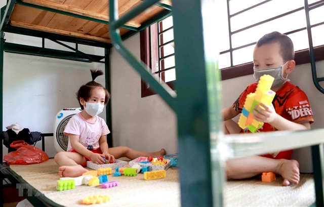
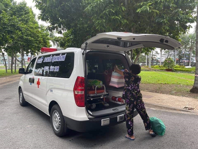
Every child aged up to 16 years old in COVID-19 concentrated areas is being given VNĐ80,000 (US$3.5) per day for daily meals during their 21-day quarantine.
 Society
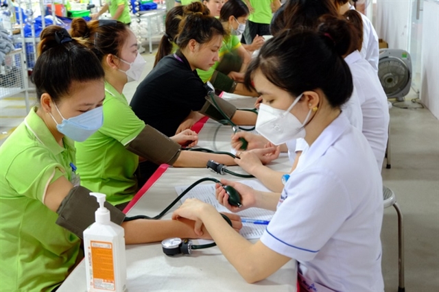
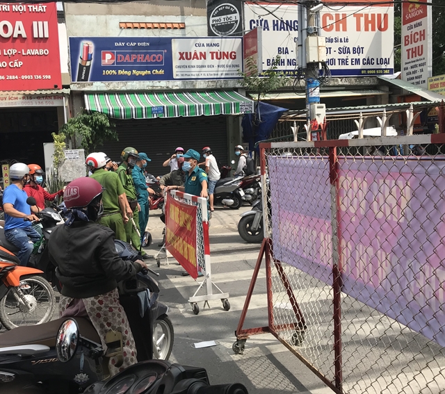
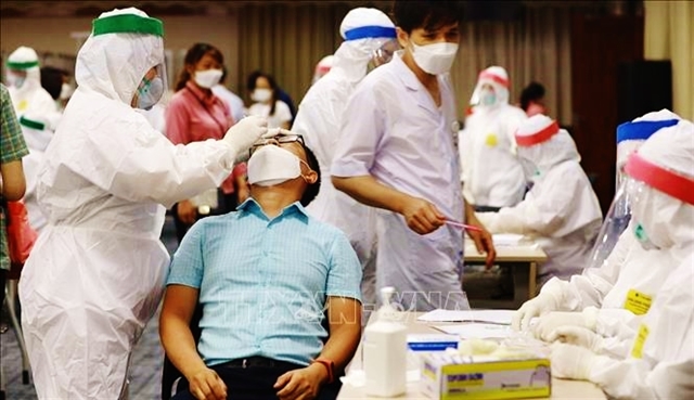
Healthcare staff have been working day and night to provide screening tests in high-risk areas in HCM City to detect cases in the community amid the latest COVID-19 outbreak.
 Society
People nationwide have done their bit to help fight the COVID-19 pandemic, but few have gone quite as far as Ngôn Đức Thắng.
 Society
The northern province of Bắc Ninh on Wednesday launched a production-residence-combined model in which workers don’t leave their factories after work or stay together at concentrated accommodations like dorms, hotels or schools.
 Society
 Society
Many people returning to Việt Nam have endured a painstaking fortnight behind closed doors waiting to return home. But life in quarantine was far more rewarding for Nguyễn Phương Linh, who met the man of her dreams, a health worker based at the facility.
 Society
 Society
The temporary closure of non-essential services in HCM City, such as like wedding and convention centres, has affected young people’s employment opportunities.