 Society


Registered business capital surges as weaker firms exit
1.

|
| Topographic maps for islands and archipelagoes will be set up. — VNA/VNS Photo |
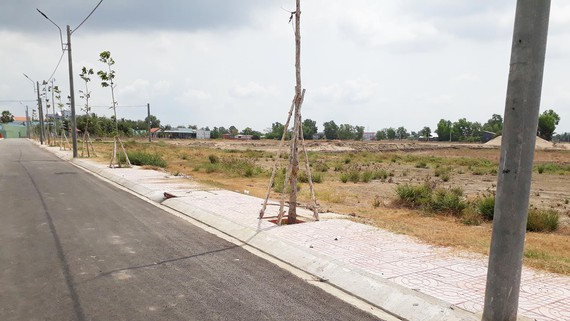
HÀ NỘI — Deputy Prime Minister Trịnh Đình Dũng has recently approved a project to set up a national geographic database.
The objective of project is to establish and update the national geographic database and topographic land maps at scales of 1:2,000 and 1:5,000 for urban, future urban, rural, island, archipelago, river-mouth, and seaport areas.
The project also aims to update the national geographic database and national topographic maps on the mainland at a scale of 1:10,000 and smaller, as well as seabed topographic maps on Việt Nam’s water and islands.
The geographic database of Hoàng Sa (Paracel) and Trường Sa (Spratlys) archipelagos will be updated at scales of 1:5,000 and 1:25,000.
The project will set up 3D maps of key cities for use in rescue activities and emergency situations as well as in the development of smart cities.
Aside from setting up the database, the project will also target strengthening the capacity of technical equipment, technology and training human resources in updating, managing and exploiting the national geographic database and topographic maps.
The project will be carried out nationwide from 2020 to 2024.
The Ministry of Natural Resources and Environment was put in charge of implementing the project. — VNS
Society
 Society
 Society
 Society
 Society
 Society
 Society
 Society
 Society
HCM City hopes to reduce traffic accidents, fatalities and injuries by 5-10 per cent this year, People’s Committee chairman and head of the city Traffic Safety Board, Nguyễn Thành Phong, told a workshop on Wednesday (January 8).
 Society
 Society
 Society
 Society
A former narcotics police officer received bribe from a woman to plant drugs in her boyfriend's car.
 Society
You've heard of Ninh Bình's mountains, but have you heard of its stones? Over the last four centuries, Ninh Vân Village has sculpted a niche for itself as Việt Nam's stone carving capital.
 Society
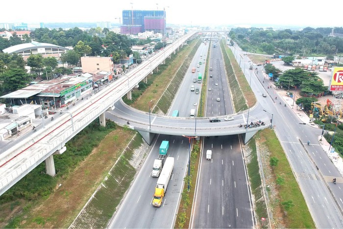
New bridges and roads have helped ease the traffic congestion that used to occur frequently in some areas in HCM City.