 Society


Việt Nam, Czech Republic step up local investment, trade cooperation
1.

|
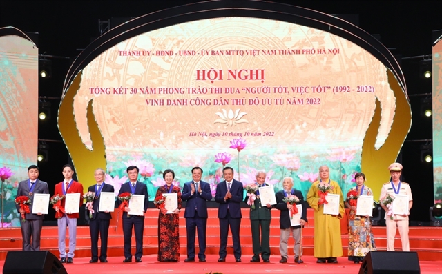
| Part of the software village in the Hoà Lạc Hi-tech Park of Hà Nội. — VNA/VNS Photo |
HÀ NỘI — The capital city of Hà Nội is planning to develop satellite urban areas as part of an effort to widen local space and ease the increasing pressure from overcrowding in the inner core.
In its development plan for 2030, with a vision towards 2050, Hà Nội plans to establish five satellite urban areas, namely Sơn Tây, Hoà Lạc, Xuân Mai, Phú Xuyên, and Sóc Sơn, covering a total of 25,000ha.
The move aims to reduce traffic congestion and pollution, and enhance a balanced development between the city centre and the suburbs, while contributing to the promotion of Hà Nội’s industrialisation and linkages with regional provinces.
However, after years of planning, these areas have yet completely taken shape.
Situated across the districts of Thạch Thất, Quốc Oai as well as Sơn Tây Township, Hoà Lạc is the largest and oldest among the five suburbs with 17,274ha and a population of around 600,000. It includes a campus of Việt Nam National University, Hà Nội and the renowned Hoà Lạc Hi-tech Park.
It is home to numerous leading Vietnamese corporations, such as Viettel, VNPT, FPT and TH Group, as well as major foreign investors, particularly those from the Republic of Korea and Japan.
These projects have occupied just a small part of its total area while the majority is yet to be cleared. Additionally, an absence of fully-developed infrastructure, especially in terms of transport, has led to a lack of proper connectivity between Hoà Lạc and other regions.
Phú Xuyên satellite area is expected to be the city’s hub for industry and services in the south, and will house ports and logistics centres. It is also being developed as a multi-functional urban area for education, healthcare, entertainment, and trade services to foster the urbanisation of southern Hà Nội, but it looks nothing like the modern urban area of the plan that was released a decade ago.
According to Lã Hồng Sơn, deputy head of the bureau for planning and management of satellite cities and rural development under the Hà Nội Authority for Urban Planning and Architecture, looking at worldwide practices, regional planning and satellite urban models have proved effective in addressing long-term urban problems. They have encouraged the relocation of inner-city dwellers to satellite cities, reduced overcrowding in the inner districts and resolved many issues of the core city which has been overwhelmed with severe traffic, pollution and a lack of schools, he said.
Ngô Trung Hải, Vice Chairman of the Việt Nam Urban Planning and Development Association, said it is critical for Hà Nội to have a more open view of the satellite city model in order for society to be more involved in infrastructure development. Relying on the State could potentially cause delays in infrastructure development.
Former Director of the Hanoi Urban Planning Institute Lã Thị Kim Ngân said that planning is nothing if it is not relevant to reality. Planning must go together with the provision of resources, determination and a roadmap for implementation, she said.
The city also needs to speed up progress and improvement of regional planning to provide a common planning for satellite cities. Delays in this process will affect investment attraction and socio-economic development plans. — VNS
Society
 Society
 Society
 Society
 Society
 Society
 Society
 Society
 Society
 Society
 Society
 Society
 Society
 Society
 Society