 Society

Search for the missing
1.
The naval forces’ marine and geological mapping sector has made important contributions to waterway safety and the protection of sea sovereignty; however, it was still in its early stages compared with other nations such as the UK, France and Russia.
| ||
| The naval forces’ marine and geological mapping sector has made important contributions to waterway safety and the protection of sea sovereignty; however, it was still in its early stages compared with other nations such as the UK, France and Russia. — Photo tuoitre.vn |
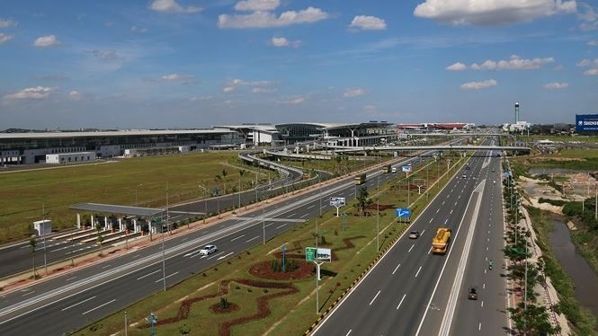
HÀ NỘI — The naval forces’ marine and geological mapping sector has made important contributions to waterway safety and the protection of sea sovereignty; however, it was still in its early stages compared with other nations such as the UK, France and Russia.
The statement was made by Khương Văn Long, an official from the naval forces’ staff, at a conference on applying advanced technologies in marine mapping on Thursday in Hà Nội.
To meet development requirements in the era of advanced science and technology and bring the country’s capabilities in line with the rest of the region and the world, he said the marine mapping industry needs a clear plan and appropriate investment.
From 1992 onwards, the naval forces’ marine and geological mapping sector has significant developments in professional skills and technology.
Marine maps published since 1992 have been made using new editorial technologies, including computers to calculate co-ordinate system conversions, he said.
Long said countries around the world are beginning to pay much more attention to marine mapping.
Learning from the practices of established countries in the industry such as Russia, France, Australia and India, the naval forces crafted an effective plan to survey marine environments.
Under the plan, the naval forces will modernise their equipment and facilities and look into further changes, said Long.
It will collect data on the seabed topography of the East Sea to build maps and meet the technical demands of the International Hydrographic Organisation (IHO). It will also conduct research into marine geophysics and oceanography for both scientific and military purposes.
The marine mapping industry will widen its co-operation with different marine research institutes and members of the IHO towards diversifying its products and meeting international standards, said Long. Priority will be given to projects on socio-economic development and the protection of natural resources and the environment. — VNS
Society
 Society
 Society
 Society
 Society
 Society
 Society
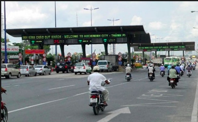
A electronic toll collection (ETC) system will officially be put into operation at Phú Mỹ Bridge toll station in HCM City’s District 2 on Saturday.
 Society
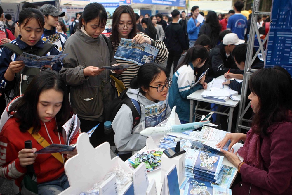
In addition to results of national high school examinations, universities have added general ability tests to select students.
 Society
There is an islet in the Mekong Delta province of Trà Vinh which is known as a centre for research and cloud computing, reported Tuổi Trẻ (Youth) newspaper.
 Society
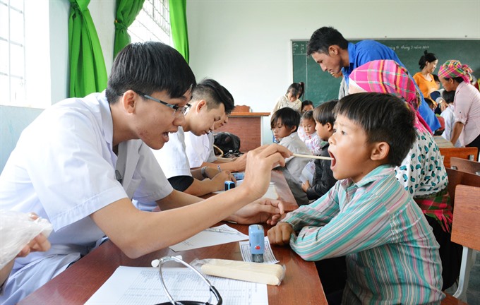
Deputy Prime Minister Vũ Đức Đam urged healthcare facilities nationwide to step up preventive healthcare services and ensure adequate vaccines to prevent the spread of epidemics such as measles and dengue fever.
 Society
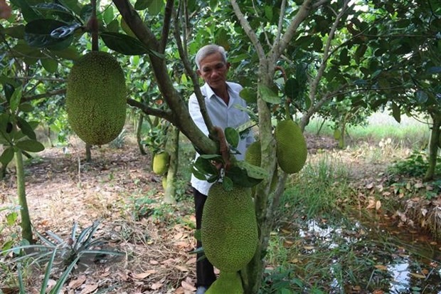
Farmers in the Mekong Delta are rushing to convert their paddy fields or other orchards into Thai jackfruit farms due to high profits in recent years.
 Society
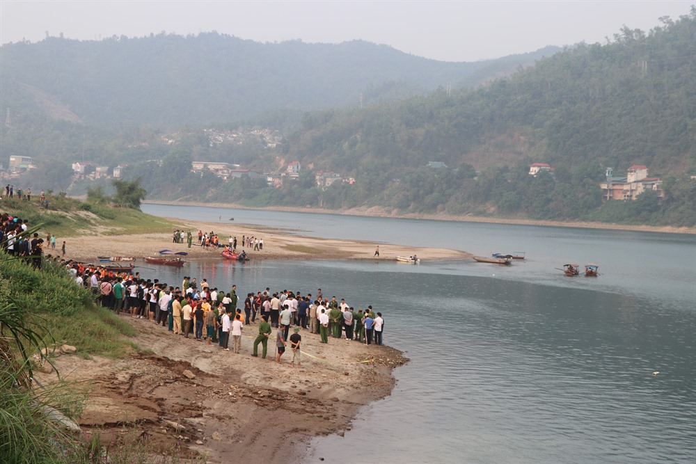
Eight students aged 10 to 15 drowned on Thursday afternoon while swimming in the Đà River in the northern city of Hòa Bình, Hòa Bình Province.
 Society
Việt Nam’s agricultural sector showed the most development of any of the past seven years and agricultural exports reached US$40.5 billion, helping the country confirm its position as an important exporter.
 Society
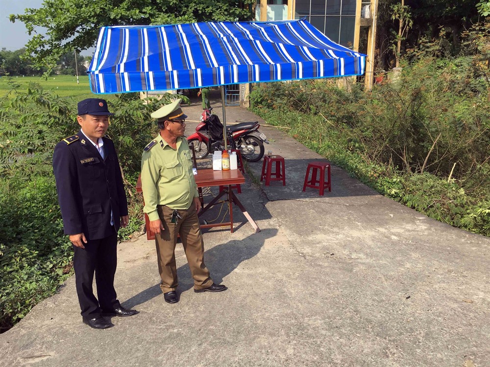
Two animal disease inspection stations were established on Wednesday on National Highway No1 section in Núi Thành District of central Quảng Nam Province in order to control pig transportation from northern provinces and cities.
 Society
An American tourist travelling around Asia has died after jumping from a road bridge in Hà Nội on Thursday morning.