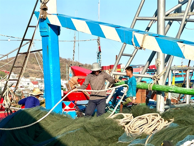
 Society


Seared Hokkaido Scallop with Plum Honey Vinaigrette
1.
Natural disaster forecasting in Việt Nam will focus on frequent incidents such as typhoons, droughts, landslides and floods from now until 2020, according to a new decision of the government.
 |
| After a flood that hit Hua Nậm Hamlet, Nặm Păm Commune, Mường La District in northern Sơn La Province in August, 2017. — VNA/VNS Photo Nguyễn Cường |
HÀ NỘI — Natural disaster forecasting in Việt Nam will focus on frequent incidents such as typhoons, droughts, landslides and floods from now until 2020, according to a new decision of the Government.
Decision No 705, signed on June 7 by Deputy Prime Minister Trịnh Đình Dũng, approved the natural disaster forecasting programme to assess, map and update regions with high risks of catastrophes, especially those occurring on a regular basis, namely typhoons, floods, salinisation, droughts and so forth.
With an aim to prevent and overcome natural disasters, the programme focuses on vulnerable areas in lands, seas and islands. It evaluates the risk of calamities by region, establishing a warning map for tropical depressions, storms and rises in the sea level. The programme will determine floods, land subsidence and landslides in midlands and mountainous regions in addition to hail storms, heat waves, tornados, droughts, lightning, severe cold, rimes, earthquakes and tsunamis.
Dũng urged the Ministry of Natural Resources and Environment and the Ministry of Agriculture and Rural Development (MARD) to look into the programme’s operations and results.
Natural disasters have been on the rise in Việt Nam for the past 10 years, reported dantri.vn. According to MARD, 2017 was considered the peak of natural disasters, causing 385 deaths and a significant loss of VNĐ60 trillion (US$2.65 billion). There were 654 cases of injuries recorded, besides many missing people. — VNS.
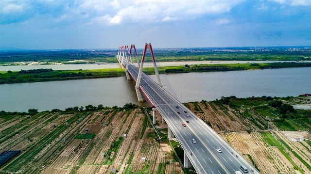
Society
 Society
 Society
 Society
 Society
 Society
 Society
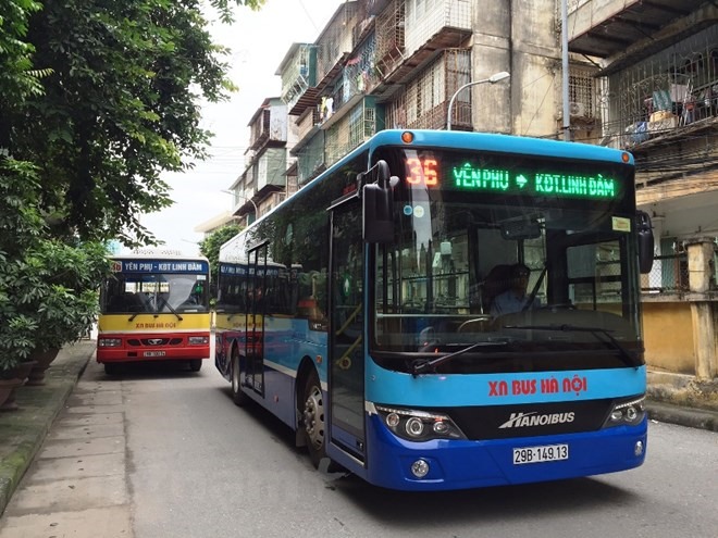
The Hà Nội Transportation Service Corporation said it would open 14 new bus routes in the city this year, with three routes serving narrow streets.
 Society
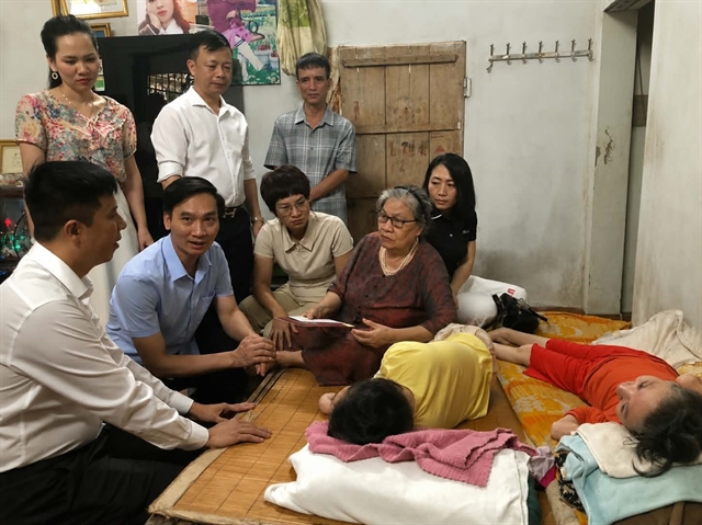
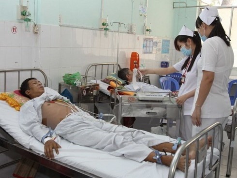
Many doctors in the Cửu Long (Mekong) Delta are reportedly quitting their jobs at public hospitals to seek opportunities at private hospitals due to low salaries, pressure in the workplace, and a shortage of favourable policies.
 Society
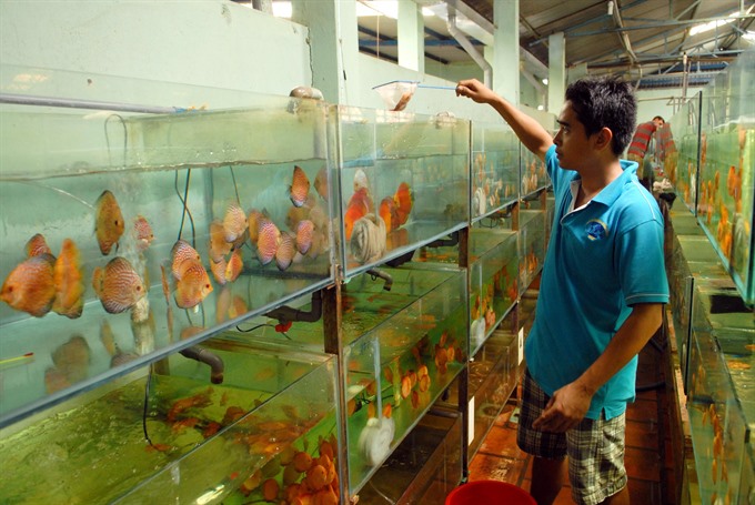
The HCM City Fisheries sub-department has selected four ornamental fish farms that meet conditions to produce ornamental fish under Good Manufacturing Practice (GMP) standards.
 Society
At least 30,000 units of blood are expected to be collected from volunteers at 26 provinces and cities in the country via an annual blood-donation campaign called Hành Trình Đỏ (Red Journey) 2018.
 Society
The Ministry of Construction (MoC) has recommended the Ministry of Public Security in co-ordination with relevant agencies to investigate and prosecute investors committed serious violations relating to management and use of high rise buildings.
 Society
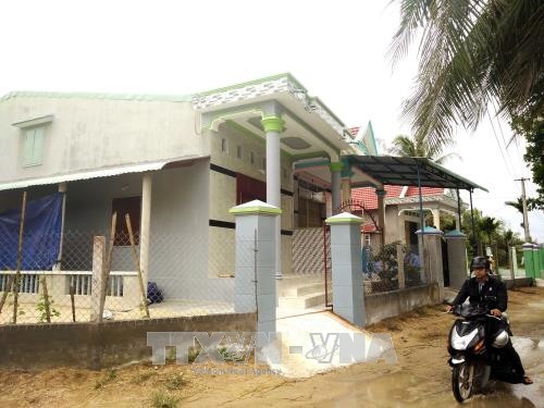
Eight central coastal provinces will continue enjoying assistance in constructing storm- and flood-resilient homes for poor households under Decision No. 48, the Ministry of Construction (MOC) announced.
 Society
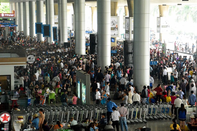
National carrier Vietnam Airlines has recommended passengers be present at Tân Sơn Nhất International Airport in HCM City as early as possible to avoid traffic jams.
 Society
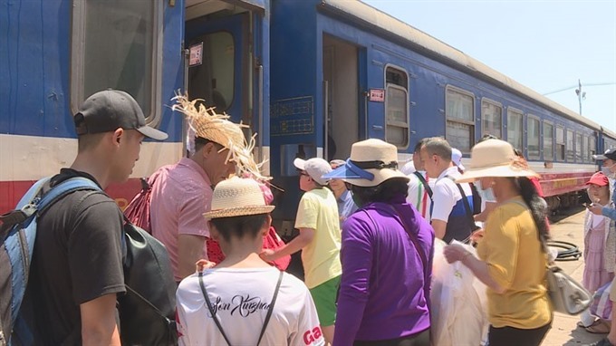
The Việt Nam Railway Corporation is considering a ban on the use of electronic devices, including smartphones, by its staff to ensure railway traffic safety and order.
 Society
Investigative police in Cần Giuộc District in Cửu Long (Mekong) Delta province of Long An on Sunday started legal proceedings against a man for alleged obscenity with his 10-year-old daughter.