 Society


Việt Nam-Laos trade targets US$10 billion
1.
" />Storm Sarika weakened into a low tropical pressure this morning over the sea some 60km away from the Quảng Ninh coast.
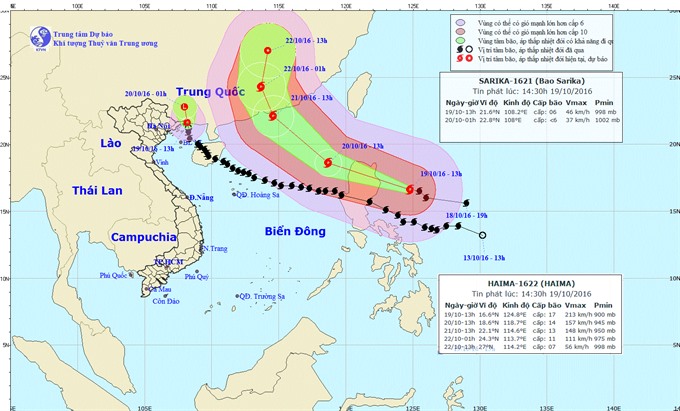 |
| Map shows direction of storm Sarika (black) after weakening into a tropical low pressure while another storm Haima is entering South China Sea (East Sea). — Photo nchmf.gov.vn |
HÀ NỘI — Storm Sarika weakened into a low tropical pressure this morning over the sea some 60km away from the Quảng Ninh coast.
Typhoon Sarika was believed to be the most dangerous and strongest storm to hit Việt Nam in recent years.
Wind speed was just at a maximum of 60km per hour, according to the National Hydrometeorological Forecast Centre.
Weather experts said the storm weakened because when it entered the Tonkin Gulf where it was cooler, it could not gain strength, plus there was no “support” from the southeast wind.
The low tropical pressure is moving to the north and is expected to become a low pressure area by the time it reaches China.
Its influence continued to cause wind speed of up to 60km per hour in the north of the Tonkin Gulf and the island districts of Cô Tô, Vân Đồn, Cát Hải and Bạch Long Vĩ.
Coastal areas from Quảng Ninh Province to Thái Bình Province experienced rainfall.
Storm Sarika formed over the sea on the eastern side of the Philippines on October 13 and quickly gained strength, making landfall on Luzon Island, with wind speed of 167-183km per hour.
The Philippines has incurred huge losses in the agricultural sector, amounting to almost three billion pesos (nearly US$61 million) due to typhoon Sarika, the country’s ministry of agriculture said yesterday.
Typoon Sarika also hit Hainan Province of China early yesterday, bringing heavy rainfall and strong winds. Local authorities said over 13,700 locals were evacuated from low areas and unsafe houses. — VNS
Society
 Society
 Society
 Society
 Society
 Society
 Society
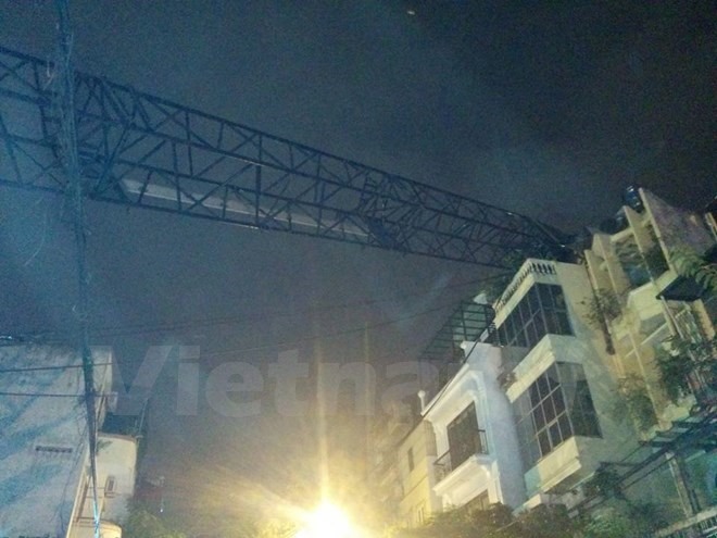
A construction crane collapsed on the roof of a house on the capital’s
 Society
Workers started moving mahogany trees on Hà Nội’s Kim Mã Street last night to make way for a metro line of the Nhổn-Hà Nội Railway Station.
 Society
The helicopter that went missing yesterday in the southern
 Society
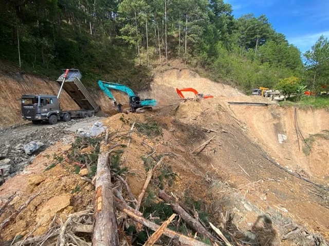
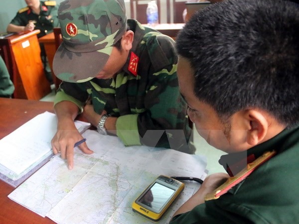
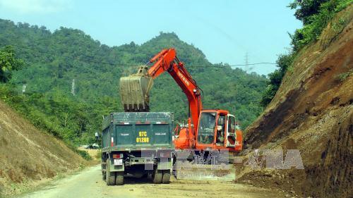
Heavy rainfall and floods over the last few days have damaged several national and provincial routes in the
 Society
Four cases of Japanese encephalitis have recently been reported in the Tây Nguyên (Central Highlands) province of Kon Tum, local health officials said yesterday.
 Society
Patients with chronic kidney failure are putting their lives at risks using herbal medicines of unclear origin, a nephrologist said.
 Society
Doctors at HCM City’s Medical University have successfully performed surgery to remove a giant kidney stone from a 59-year-old woman.
 Society
More than 400 talented students from HCM City and neighbouring provinces have taken part in the YouthSpeak forum which encourages them to take action and initiate positive societal change.
 Society
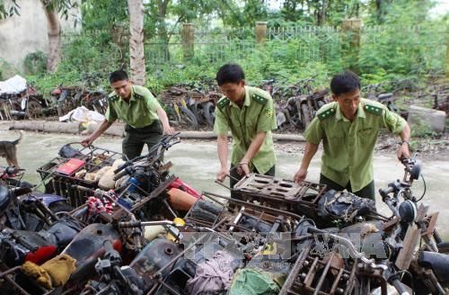
The expansion of artificial forests and roads around Ea Sô Natural Reserve in the Central Highland province of Đắk Lắk has been blamed for the increased encroachment by timber loggers.