 Society


Party maps out new growth drivers, maritime strategy for Việt Nam
1.
The Ministry of Natural Resources and Environment (MONRE) recently proposed a draft decree on remote sensing activities.
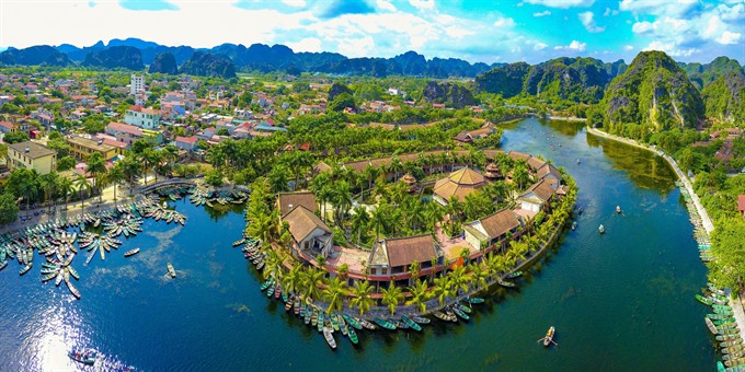 |
| Tam Cốc-Bích Động, a popular tourist destination in north Vietnam and part of the Tràng An Scenic Landscape Complex UNESCO World Heritage site from above. — VNA/VNS Photo Minh Đức |
HÀ NỘI – The Ministry of Natural Resources and Environment (MONRE) recently proposed a draft decree on remote sensing activities.
The decree aims to complete policies on the use of high technology in managing natural resources and the environment.
Remote sensing technology has been an important tool for the assessment and management of natural resources, environmental pollution, natural disaster prevention and security and defence in Việt Nam for years.
However, State management of this field was only officially applied in 2013 with a decree regulating the function, rights, obligations and organisation of MONRE, including the official establishment of the Department of National Remote Sensing.
After five years, a system of legal documents has been reviewed and supplemented. But it still lacks a legal basis for remote sensing, according to the ministry.
MONRE is drafting a decree on remote sensing, specifying principles in these activities such as providing remote sensing images for basic and professional survey and mapping, regularly updates of data and information, monitoring natural resources and the environment, search and rescue, disaster prevention, response to climate change and ensuring national defence and security.
The national remote sensing database will be maintained, operated and updated regularly and used to update the national geographical spatial system.
According to the ministry, the policy framework, legal documents, standard system and technical regulations of remote sensing will be formulated by 2025 and legal framework will be completed by 2030.
MONRE will build and develop a network of remote sensing data receivers (fixed stations, mobile stations and virtual stations), control stations, remote sensing data processing and remote sensing data transmission networks to provide remote sensing data to ministries, sectors and localities.
Human resource development, scientific research, the development of remote sensing technology and expanding international co-operation on remote sensing with other countries will be strengthened.
The ministry will publicise the planning and list of investment projects to encourage domestic and foreign organisations and individuals to participate.
There will be preferential policies to attract domestic and foreign investors to carry out projects in Việt Nam.
The draft will be proposed to the National Assembly to promulgate the Law on Remote Sensing and submit to the Prime Minister a master plan on development of the national remote sensing. - VNS
Society
.jpg) Society
Society
 Society
 Society
 Society
 Society
 Society
13 workers were injured and one was missing in a boiler explosion yesterday noon at Cửu Long Steel Company in the northern coastal city of Hải Phòng.
 Society
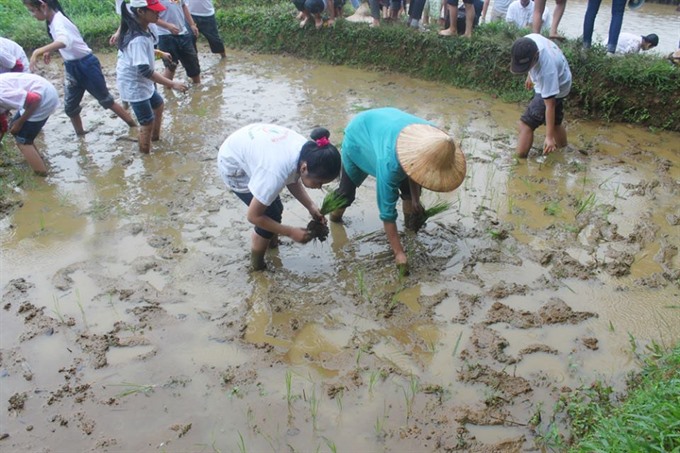
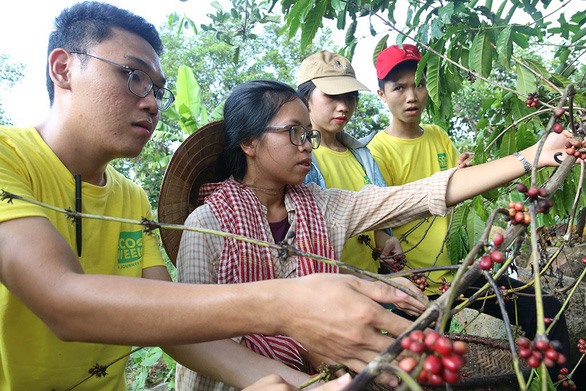
Agriculture-based tourism is a new trend in Việt Nam and is playing an important role in building new-style rural areas, helping to improve income for citizens, according to a senior official.
 Society
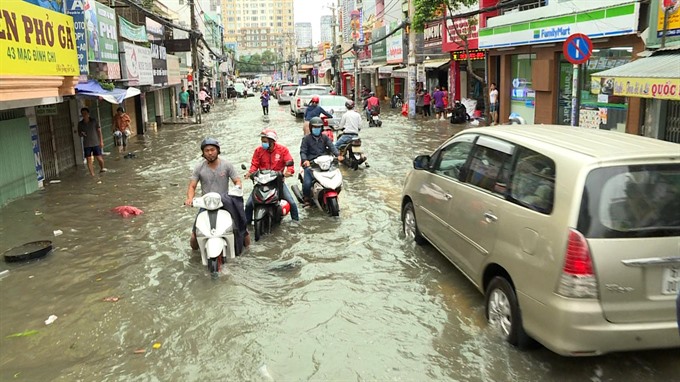
The HCM City Steering Committee for Natural Disaster Prevention and Control has directed personnel to take measures to prevent flooding caused by high tides.
 Society
The health sector is trying to strengthen the grassroots healthcare system to improve the quality of primary healthcare and reduce hospital overloading, according to a health official.
 Society
The VinTech technology development company’s Institute of Big Data announced on Thursday that it will start a US$4.5 million project to build Vietnamese genome data next year. The project, “Building the Database of Genetic Variations of the Vietnamese,” will decode the genomes of 1,000 people to generate mass data for local and foreign researchers.
 Society
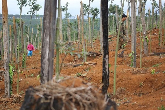
The People’s Committee of the Central Highlands Province of Đắk Nông has decided to dismiss the Vice Chairman of the People’s Committee of Tuy Đức District for appropriating public land.
 Society
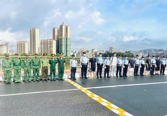
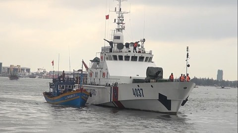
A group of nine fishermen adrift on a fishing boat were saved off the coast of Quảng Bình on Friday as their vessel was towed to safety.
 Society
Experts discuss key issues on sidelines of the Tourism & Travel Summit 2018 in Hà Nội on Thursday.
 Society
A typical morning in Dốc Mơ Farm starts with fresh bamboo charcoal toothpaste by the spring, before the residents wash their clothes using soap berries, all grown in their garden.