 Society


Four strategic shifts chart next national development phase
1.
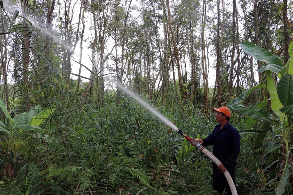
The Mekong Delta province of Kiên Giang has some 13,000ha of forests facing a major threat of fires in An Minh, Hòn Đất, Giang Thành, and Phú Quốc districts.
 |
| A watch tower in the U Minh Thượng National Park in Kiên Giang Province to provide early warning in case of fires in the ongoing dry season. – VNA/VNS Photo Lê Huy Hải |
KIÊN GIANG — The Mekong Delta province of Kiên Giang has some 13,000ha of forests facing a major threat of fires in An Minh, Hòn Đất, Giang Thành, and Phú Quốc districts.
Nguyễn Tấn Xông, deputy head of the province’s Forest Protection Sub-department, said forests in Hòn Đất, parts of Giang Thành and forest areas No 32 and 33 in An Minh have fire risk levels of three or four on a scale of five.
Cajeput forests in Hòn Đất face great risk, he said. There have already been three this year, but they were put out quickly and so the damage was not extensive, he added.
To cope with the threat, the province has set up a steering committee for fire prevention and control and rescue and a multi-agency force to fight forest fires.
The committee has instructed forest managers and rangers to monitor high-risk areas around the clock and co-ordinate with the police and army when fires break out.
It has strengthened communication to people living near forests about fires and forest protection.
 |
| A forest ranger conducts a forest firefighting drill at the U Minh Thượng National Park in Kiên Giang Province. – VNA/VNS Photo Lê Huy Hải |
Hòn Đất’s forest managers such as the Hòn Đất-Kiên Giang forest management board, the Forest Plantation No. 422 management board and the Kiên Giang Agriculture and Forestry Company have each set up two to three monitoring sites with five or six people working around the clock and firefighting facilities standing by.
Hòn Đất’s forest rangers are focusing on fire prevention since the forecast is for no rain until May and the threat levels are high.
At the U Minh Thượng National Park, the risk level is at the lowest. Park authorities have established six fire prevention groups to monitor high-risk areas and regularly inspect sluices and dams to ensure there is sufficient water during the ongoing dry season.
They have consolidated sluices, built two dams, dredged reservoirs, and cleared 20 forest roads in high-risk areas.
When the fire risk increases to the second and third levels, the park will stop tourism activities and keep even the entry of locals to a minimum.
Kiên Giang has more than 70,500ha of forests, accounting for 10.6 per cent of its land area.
It planted 1,276ha of new forests last year and expects to plant another 935ha this year, according to its Department of Agriculture and Rural Development. — VNS
Society
 Society
 Society
 Society
 Society
 Society
 Society
Lào Cai’s People’s Committee has sent a proposal to Prime Minister Nguyễn Xuân Phúc asking for an airport to be built to serve Sa Pa Town.
 Society
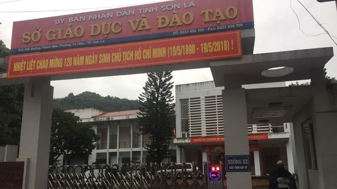
Forty-four students who took the national high school examination last year in the northern province of Sơn La had their scores fraudulently modified upwards, the Ministry of Education and Training (MOET) announced on Saturday
 Society
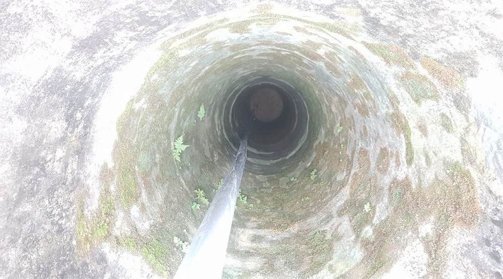
Climate change was to blame for falling water resources, causing low water levels in the Mã River in the central province of Thanh Hóa and affecting nearby wells.
 Society
The forest protection sub-department in the central province of Quảng Bình has confirmed a serious case of deforestation which occurred in Quảng Ninh District recently.
 Society
The People’s Court of Bình Thuận Province on Monday rejected the appeals of 15 defendants convicted of disturbing public disorder in the province on June 10 last year.
 Society
The Hà Nội-based Bạch Mai hospital today opened a general clinic of its second branch in Phủ Lý City, the northern province of Hà Nam.
 Society
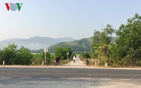
The North-South Expressway project in the central coastal province of Khánh Hòa would require 186 households to be reallocated, reported online newspaper vov.vn.
 Society
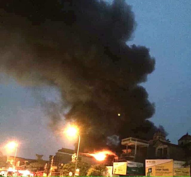
A 72-year-old man died while six members of his family were rescued from a fire at their home in Hà Nội’s Phú Xuyên Town on Sunday afternoon.
 Society
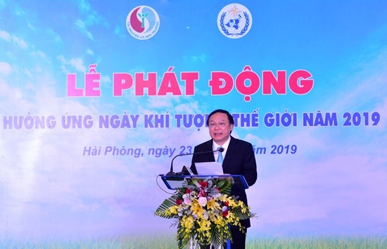
A ceremony in response to World Meteorological Day 2019 was held in the northern port city of Hải Phòng on Saturday, calling for actions to protect human lives and assets in the context of increasingly frequent extreme weather phenomena.