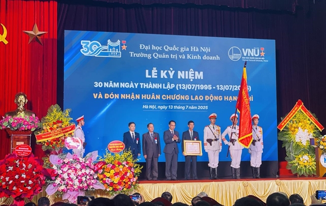
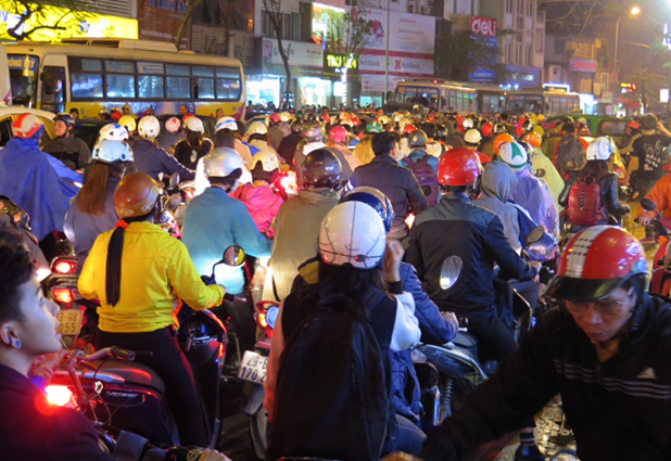
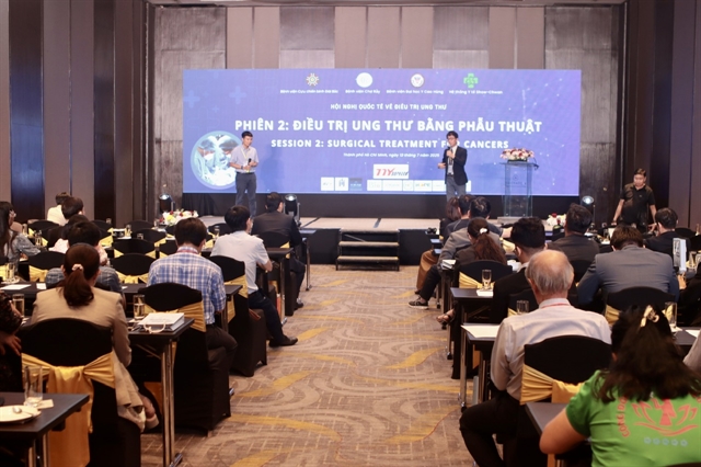
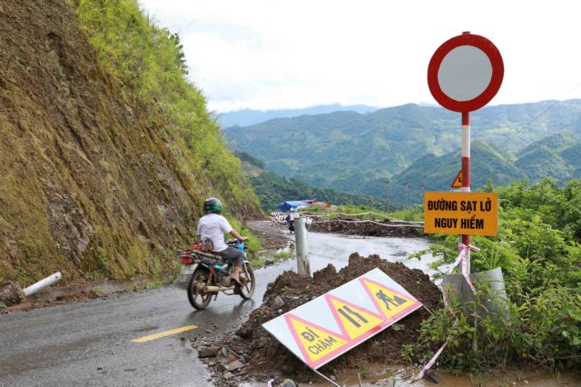
 Society

Overseas diplomatic missions urged to provide stronger support for localities to unlock international partnerships
1.
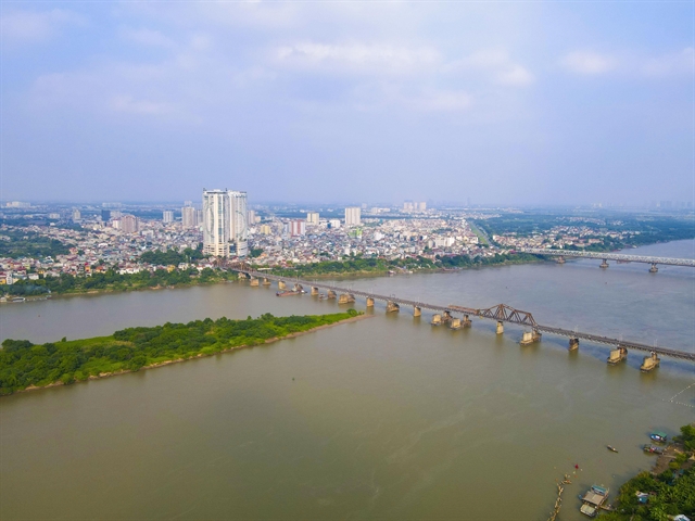 |
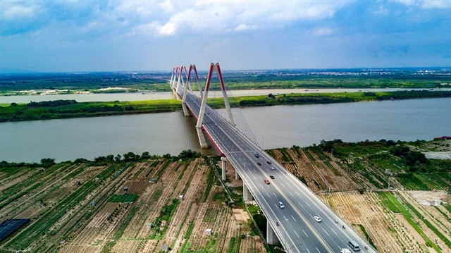
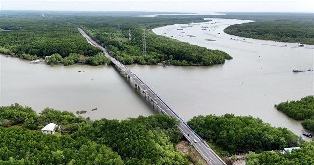
| Long Biên Bridge across the Hồng (Red) River.—VNA/VNS Photo |
HÀ NỘI — Experts believe that the mega-project to build a riverside boulevard and landscape along the Hồng (Red) River could rightfully be called the 'Red River Miracle' if it delivers the greatest possible benefits to the people of Hà Nội, particularly those living in riverside areas.
Recently, the capital People’s Committee granted approval for the joint venture between Văn Phú Real Estate Development Joint Stock Company and Đèo Cả Group to conduct a feasibility study for the project titled 'Construction of the Red River Riverside Boulevard and Landscape.'
The move is considered a breakthrough in the implementation of the Red River Subdivision Planning Scheme, which was officially approved by the city administration in 2022.
However, experts warn that the project must meet one fundamental requirement to ensure the safety of the Red River’s flood discharge corridor, especially as the plan involves a range of large-scale structures such as boulevards, green parks, recreational zones and community cultural spaces.
Architect Đào Ngọc Nghiêm, former Director of the city’s Department of Construction and Vice President of the Việt Nam Urban Planning and Development Association, told Tiền Phong (Vanguard) online newspaper that securing the flood discharge corridor must be the top priority throughout the project's implementation.
He said that, although the Prime Minister approved the flood prevention and dyke planning scheme for the Red River in 2016, there is a pressing need for a more detailed plan outlining flood discharge corridors down to the commune and ward levels to prevent potential violations.
“In addition, the city and investors should apply scientific and technological solutions, such as upgrading water supply and drainage systems or expanding the use of floating housing,” he said.
Associate Professor Bùi Công Quang, a former senior lecturer at Thủy Lợi University, said that the cornerstone of implementing the Red River development plan lies in ensuring the safety of flood prevention and dyke systems.
In recent years, several major upstream hydroelectric reservoirs on the Hồng-Thái Bình river system such as Hòa Bình, Sơn La, Tuyên Quang and Lai Châu have played a key role in flood regulation and protecting downstream communities.
Quang also said that any riverside community infrastructure must comply with Article 32 of the 2024 Law on Capital, which prohibits the elevation of riverbanks and alluvial islets.
Raising ground levels could obstruct the natural flow of water, increase pressure on the dyke system, and heighten the risk of overflow or dyke failure, he said.
Architect Ngô Trung Hải, Vice President of the Việt Nam Urban Planning and Development Association and Secretary-General of the Association of Cities of Việt Nam, said the components of the mega project should not be developed according to the model of high-rise, solid buildings.
Instead, priority should be given to designing public spaces such as parks, squares, grass fields and sports grounds in the form of open or partially floodable spaces, capable of withstanding temporary flooding during the rainy season.
“In other words, all riverside structures must harmonise with the water, adapting to it rather than resisting it,” he added.
Community interests first
Alongside preserving the flood discharge corridor, safeguarding the well-being and improving the living conditions of the estimated 300,000 people who live in riverside areas must be a key focus.
Most of these residents are low-income workers who frequently endure flooding, environmental pollution and poor infrastructure.
Nguyễn Thị Tú, who has lived for over a decade in the Hồng Hà Ward near the Red River and works as a porter at Long Biên Market, shared her struggles.
Due to her low income, she rents a ramshackle, run-down home where power and water outages are a regular ordeal.
After typhoon Yagi last year, the whole neighbourhood where she lives was devastated, buried under mud, debris and rubbish.
Electricity and water were cut off constantly and most of their belongings were destroyed.
“If we face a few more floods like that, we’ll have no choice but to leave,” Tú said.
Trần Thị Phượng, another resident renting in Hồng Hà Ward, noted worsening environmental conditions in the riverside zones.
“The riverbanks are covered in black water and piles of rubbish, mainly from Long Biên Market,” she said.
The stench is unbearable, especially in the heat or after rain. Sometimes, the waste floats right up to our doorstep, she needed shovels just to get out.
Her family’s greatest wish is to buy social housing at an affordable price.
Nghiêm said, authorities and investors, while studying the project, must conduct comprehensive surveys of all residential zones along the river.
Communities situated within the flood discharge corridor should be relocated to safer areas.
Other areas should undergo infrastructure improvements to enhance resilience to fluctuations in water levels and mitigate localised flooding.
Simultaneous investment in social infrastructure and environmental sanitation will be vital to improving the quality of life for riverside residents.
“I support the idea of a riverside boulevard to strengthen urban connectivity,” he said.
However, he believes waterway transport should also be developed so riverside communities can better access islets and alluvial land for farming and daily activities.
Supplementary roads from major bridges to these riverbank areas could also be considered or even a cable car system at select points, he said.
Hải said securing stable resettlement for displaced residents is just as important.
The most feasible solution is to allocate social housing for resettlement, combined with preferential credit policies that allow low-interest, long-term home loans.
In parallel, additional support should be offered, including vocational training and job placement programmes to ensure relocated families can rebuild their lives sustainably.
The project is proposed to span approximately 7,800ha and extend for some 40km, traversing 55 wards and communes of the city.
The development includes 22km of elevated road, 7.6km of parallel roads and 2.3km of underpasses, with cross-sections accommodating four to six lanes of traffic.
Notably, some 3,000ha will be dedicated to parks, recreational spaces and iconic landmarks, forming a major visual and cultural highlight of the capital’s riverbanks.— VNS
Society
 Society
 Society
 Society
 Society
 Society
 Society
 Society
 Society
 Society
 Society
 Society
 Society
 Society
 Society