 Society
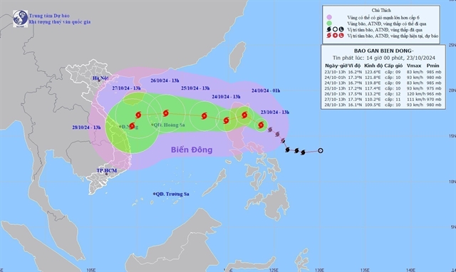
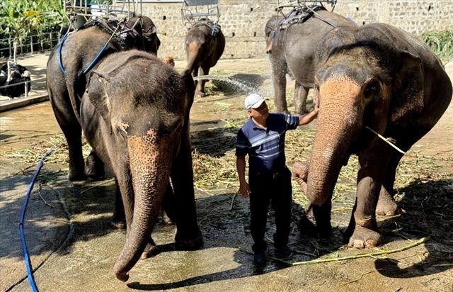
Typhoon Trami heads toward central Việt Nam
This will be the sixth typhoon to hit Việt Nam’s waters this year.
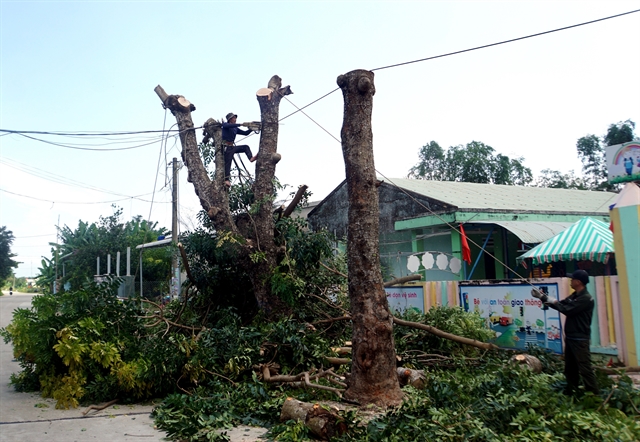 |
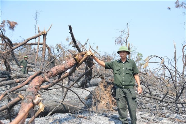
| Workers remove or cut back large trees that could be toppled by the strong winds as the typhoon is expected to make landfall in the next few days. — VNA/VNS Photo |
HÀ NỘI — Typhoon Trami is intensifying and heading toward the East Sea (internationally known as the South China Sea), keeping forecasters on high alert with its powerful winds.
According to the National Centre for Hydro-Meteorological Forecasting, Typhoon Trami hit northern Luzon Island (Philippines) on Thursday, with sustained winds of level 9 (75-88km/h) and gusts reaching level 11 (103-117km/h).
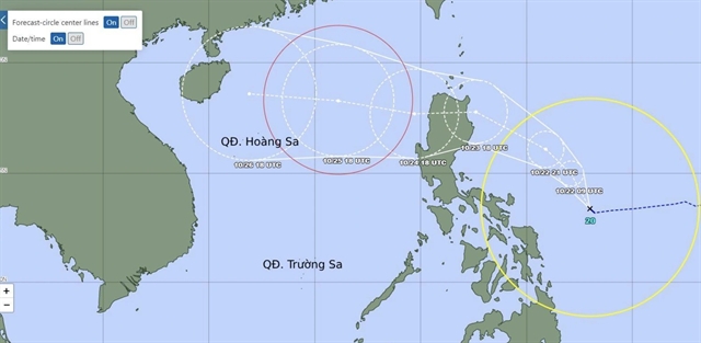
The typhoon is forecast to move westward at around 15km/h and into a position 600km east of Hoàng Sa (Paracel) Islands on October 25, with gusts up to level 12 (118-133km/h).
Trami is forecast to track west-northwestward the next day at approximately 20km/h, approaching within 320km of the Paracel Islands. More violent gusts are expected, reaching level 15 (167-183km/h).
A level 3 disaster risk is anticipated for the northern East Sea as the typhoon is forecast to ravage the northwestern waters near the Paracel Islands on October 27.
Trami is then forecast to decelerate and move west-southwestward at about 10km/h 120 hours later and then alter its course to a south-southwesterly direction.
Waves in the East Sea can reach up to seven metres high near the typhoon's centre. — VNS
Society
 Environment
 Environment
.jpg) Environment
Environment
 Environment
 Environment
 Environment
 Environment
 Environment
 Environment
 Environment
 Environment
Environment
Environment
 Environment
 Environment
 Environment
 Environment