 Opinion
Lâm Đồng rolls out road-trip tourism packages to offset airport closure
1.

|
| Saltwater intrusion in rivers has damaged the rice crop in Cà Mau's Thới Bình District VNA/VNS Photo |
Nguyễn Văn Đào, from the General Department of Meteorology and Hydrology talks to the Tài nguyên và Môi trường (Natural Resources and Environment) newspaper on the need to have a full and accurate report on saltwater intrusion and the hydrometeorology system in the Mekong Delta
What are the impacts of climate change on the Mekong Delta in the past few years?
Many scientists have forecast that the Mekong Delta region is one of the five regions in the world that will be seriously hit by climate change. It is reported that 11 out of the 18 types of natural disasters in the world have been detected in the Mekong Delta, such as typhoons, low atmospheric pressure, floods, land erosion and others. One of the most severe natural disasters that hit the region was Typhoon Linda in 1997 which killed more than 770 people, plus 2,120 people were missing and 1,230 others were injured. Adding to that, the flood in the year 2000 was described as the biggest flood in a century in the Mekong Delta, killing 539 people, injuring 212 others injured and damaging almost 900,000 houses.
And in recent years, the flood water level in the Mekong River has changed considerably. If in the past, floods would only come in late September, or early October, in the past few years, they came in August. Adding to that, saltwater intrusion has become a big problem in the socio-economic development in the Mekong Delta.
Do you think the recent survey on floods, drought and saline intrusion in the Mekong Delta has helped farmers avoid big losses?
A recent survey on hydrology in the Mekong Delta helped authorities understand the volume of water that has entered the Mekong Delta region. Adding to that, it has helped scientists develop plans on how to control floods in the Mekong Delta region and Long Xuyên Quadrangle.
Can you tell us a bit about future meteorological survey activities in the Mekong Delta?
As we all know the construction of many reservoirs in the upper reaches of the Mekong River has led to impacts on the natural and social conditions in the Mekong Delta, particularly the erosion of river banks and coastal areas.
In addition, the low water level in the river has led to drought in many areas in the Mekong Delta. It has become an urgent task to make a mathematical model on meteorology and hydrology on the water flow in the Mekong River, particularly at the Tân An and Bến Lức areas in the dry season
At the same time, it is an imperative need to measure the suspended alluvial sediment at the Mekong River mouth to define the amount of alluvial which will pour into the Mekong Delta.
In addition, mobile meteorological stations should be established to collect information for weather forecasting, particularly typhoons or low atmospheric weather which will have negative impacts on the southern region.
According to statistics from the Department of Natural Disaster Prevention and Control, some 564 landslide points have been detected in all Mekong Delta provinces with a total length of 834km, including 512 landslide points on 566km along the rivers of Tiền, Hậu, Vàm Cỏ Đông and Vàm Cỏ Tây and on many main channels in the region. It is also reported 52 points along the length of 268km of the coastal area have been detected as facing the problem of serious soil erosion. VNS
Opinion
 Opinion
 Opinion
 Opinion
 Opinion
 Opinion
 Opinion
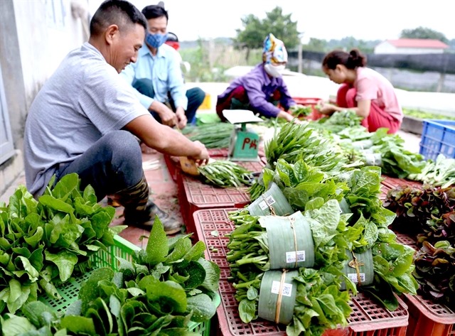
Head of the Cultivation and Plant Protection Division under Hà Nội’s Department of Agriculture and Rural Development Nguyễn Mạnh Phương speaks to Hà Nội Mới (New Hà Nội) newspaper about the city’s safe vegetable production
 Opinion
 Opinion
 Opinion
Lee Hyuk, General Secretary of the ASEAN-Korea Center, talks to Vietnam News Agency on Việt Nam’s position in ASEAN and relations with the RoK, on the 25th anniversary of Việt Nam’s ASEAN membership.
 Opinion
Trần Quốc Toản, Deputy Director-General of the Import-Export Department, under the Ministry of Industry of Trade, gave an interview to Pháp Luật (Legal Affairs) newspaper in Hồ Chí Minh City on Việt Nam’s decision to gradually eliminate all temporary import and reexport activities through Việt Nam-China sub-border gates.
 Opinion
Head of the Interdisciplinary Department under Việt Nam National University Hà Nội, Assistant professor Dr Nguyễn Văn Hiệu told Tài nguyên & Môi trường ( Natural Resources and Environment) newspaper about doctoral programmes on climate change and sustainable development - a solution to provide high quality human resources