 |
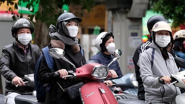
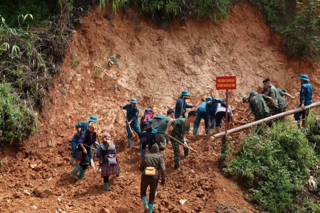
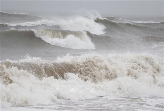
| Big waves are forecast due to heavy rains and storms this year. VNA/VNS Photo |
HÀ NỘI – The weather trend from April to June indicates that storms and tropical depressions in the East Sea will have a direct impact on the mainland at a level comparable to the multi-year average of 1.8 storms, with 0.3 storms making landfall, said weather forecasters.
According to Hoàng Phúc Lâm, deputy director of the National Centre for Hydro-Meteorological Forecasting, the ENSO (El Niño-Southern Oscillation), which includes El Niño and La Niña – abnormal warming or cooling of surface seawater in the central and eastern equatorial Pacific, is expected to remain in a neutral state with a probability of 70-80 per cent.
"During this period, cold air will gradually weaken in intensity and frequency," Lâm said.
"However, hazardous weather phenomena such as thunderstorms, whirlwinds, lightning, hail, and strong gusts of wind may still occur across the country, especially during cold air surges in the season-transitioning months of April and May."
The average temperature nationwide is expected to be close to the multi-year average.
However, in May, the average temperature in the Northwest region of the country will be 0.5 to 1 degree Celsius higher than the average for the same period.
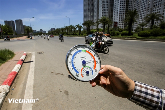
Widespread heatwaves are expected to occur in the Central Highlands (Tây Nguyên) and Southern Việt Nam starting from April, later than the multi-year average, with fewer hot days than last year.
The intensity of heat in the Northwestern region and mountainous areas of North-Central and Central Việt Nam in April will be less severe compared to the same period in 2024. Heatwaves will likely increase across the North and Central regions from May onwards.
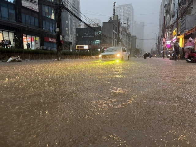
Transitional seasonal rains may occur in the Northern, North-Central, Central Highlands, and Southern regions in April.
Moderate to heavy rainfall is expected in these regions from May to June.
Rainfall predictions
Rainfall in the North will be close to the multi-year average at 70-120mm in April, with some mountainous areas receiving over 150mm.
Rainfall in May will be 5-10 per cent higher than average, while some mountainous areas may see 5-15 per cent lower rainfall (120-220mm, with some mountainous areas exceeding 250mm) while June rainfall is expected to be close to the multi-year average of 50-250mm, with 250-500mm in mountainous areas, and some places exceeding 500mm.
In North-Central and Central Việt Nam, April rainfall is expected to be 60-100mm, with some areas receiving higher amounts and in South-Central Việt Nam, the rainfall will range from 20-40mm, with some areas receiving more.
Rainfall will be 5-15 per cent higher than the multi-year average of 100-200mm, with some areas exceeding the level in May and 70-150mm, with some areas receiving more in June.
In the Tây Nguyên and Southern Việt Nam, rainfall will be 60-180mm, 150-250mm and 200-300mm in April, May and June, respectively. The levels are higher than in previous years.
Salinity intrusion, tidal surges in the Mekong Delta
Lâm said that two to three episodes of increased salinity intrusion are expected during this time in the Mekong Delta, peaking at the mouths of the Mekong River estuaries from March 15-18 and March 29 - April 2 and Vàm Cỏ and Cái Lớn Rivers from March 29 to April 2 and April 27 - May 1
From the latter half of May, salinity intrusion in estuaries is expected to gradually decrease.
The severity of salinity intrusion in the Mekong Delta will depend on upstream water flows from the Mekong River, tidal surges, and other factors that may change over time.
Local authorities in the Mekong Delta should closely monitor hydrometeorological forecasts and implement proactive measures to mitigate the effects of salinity intrusion.
Additionally, from late March to June, the Southeastern coastal region will experience multiple tidal surges.
The highest water level recorded at Vũng Tàu station could reach 4.2m between 1am and 3am on March 31, potentially causing flooding in low-lying coastal and riverbank areas outside the dike system.
High tides will not only cause flooding in low-lying coastal and estuarine areas but also exacerbate salinity intrusion in inland regions.
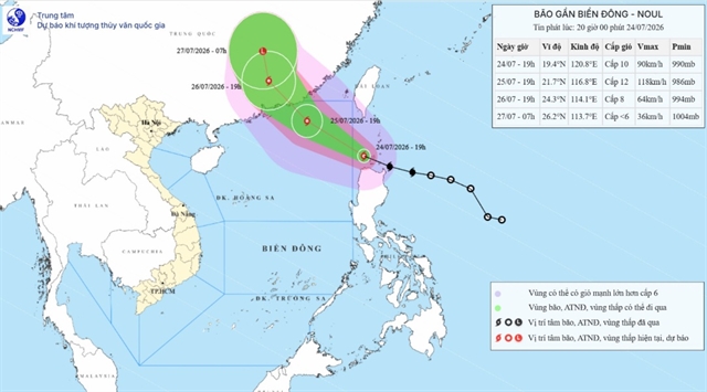
More storms, large waves
From July to September, storm and tropical depression activity in the East Sea and their direct impact on the mainland are forecast to be at levels similar to the multi-year average which is 6.4 storms, with 2.9 making landfall.
"There is a possibility that storms, tropical depressions, and the southwest monsoon will cause strong winds and high waves, affecting activities in the East Sea," Lâm added.
According to the forecast, from July to September, storms, tropical depressions, and a strong southwest monsoon could generate large waves offshore in the East Sea, ranging from 4 to 6m.
In coastal areas of the northern, central, and southeastern regions, waves could reach 2 to 4m, while in the Cà Mau - Kiên Giang sea area, waves could be 1.5 to 2.5m high due to the strong southwest monsoon.
In the southwestern coastal region, Lâm said that from late July to September, it is necessary to be wary of abnormally high sea levels, which may cause coastal dike erosion during periods of high tides combined with strong southwest monsoon activity.
Residents in coastal provinces of the northern and north-central regions should also be prepared for high waves combined with storm surges during the period from July to September 2025.
During the forecast period, localised drought and water shortages may occur in areas without irrigation infrastructure, particularly in Ninh Thuận and Bình Thuận provinces.
To effectively respond and minimise damage from these weather patterns, meteorological experts recommend that the public should regularly follow forecasts and warnings. They should monitor updates from the National Centre for Hydro-Meteorological Forecasting website (nchmf.gov.vn), and provincial, city, and regional meteorological stations. Additionally, they should stay informed through official central and local media channels to take timely precautionary actions.
Local governments and relevant agencies must promptly provide weather and disaster forecasts to the public, while citizens should strictly follow the guidance of local authorities regarding disaster preparedness and response measures.
Notably, heatwaves and hazardous weather phenomena such as thunderstorms, whirlwinds, lightning, and strong gusty winds may negatively impact production activities and public health, he said. VNS
 Environment