 |
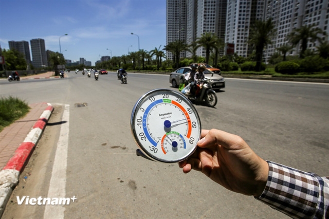
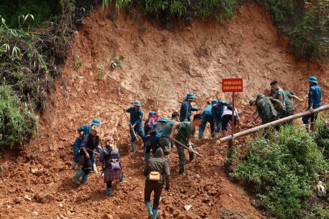
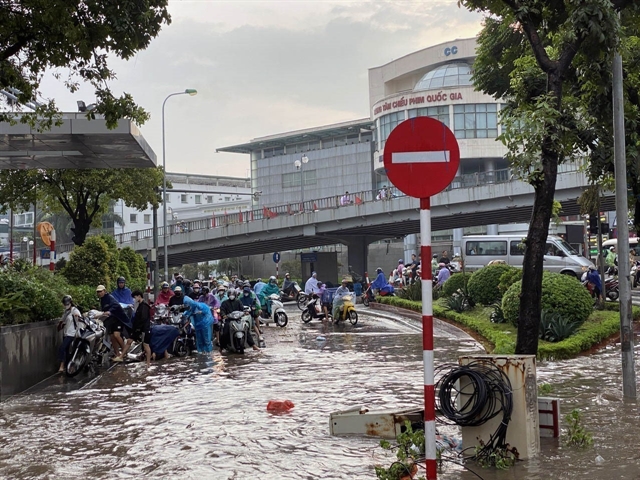
| The heatwaves forecast for this year will have a negative impact on daily life and public health. VNA/VNS Photo |
HÀ NỘI – Dangerous weather phenomena such as thunderstorms, whirlwinds, lightning, strong winds, hail and heatwaves are forecast to occur nationwide from now until August, and are expected to negatively impact daily life and public health, according to weather forecasters.
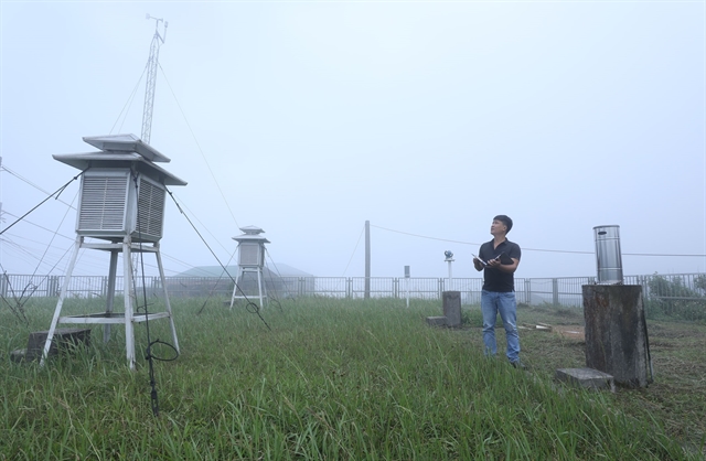
Through the end of March, cold air moving eastward will cause days of light rain, drizzle and fog in the northern provinces, said Hoàng Phúc Lâm, deputy director of the National Centre for Hydrometeorological Forecasting.
Heatwaves will have negative impacts on daily life and public health.
The ENSO phenomenon (El Niño–Southern Oscillation) is currently in a La Niña state, with the average sea surface temperature in the central equatorial Pacific being 0.6 degrees Celsius lower than the long-term average.
From March to May, ENSO is forecast to gradually shift to a neutral state, with a probability of 60-70 per cent.
Given this trend, the National Centre for Hydrometeorological Forecasting predicts that from March to May this year, tropical storms or tropical depressions are unlikely to form in the East Sea, remaining at an average level compared to previous years.
Cold air activity in March is expected to hover around average levels. However, its effects may cause strong winds and high waves, impacting maritime activities.
From now until May, heatwaves are predicted to arrive late in the Central Highlands (Tây Nguyên) and southern regions, with fewer hot days compared to 2024.
In northern and central Việt Nam, heatwaves in March and April are expected to mainly affect the northwestern areas. However, the intensity of these heatwaves is projected to be less severe than during the same period last year.
In March, scattered showers and occasional thunderstorms are expected in the central and southern regions.
Total rainfall in March and April in the northern region is expected to be around the long-term average, with March rainfall ranging from 40 to 80mm and higher in some areas, while April rainfall will range from 70 to 120mm, exceeding 150mm in mountainous areas.
Early rains in April are anticipated to increase in the Central Highlands and southern regions, while in the North, the rainy season is projected to remain consistent with previous averages.
From May, heatwaves in the northern region will gradually spread eastward, and in the central region, they are expected to intensify.
Meanwhile average temperatures in northwestern areas may be 0.5-1°C higher than historical averages.
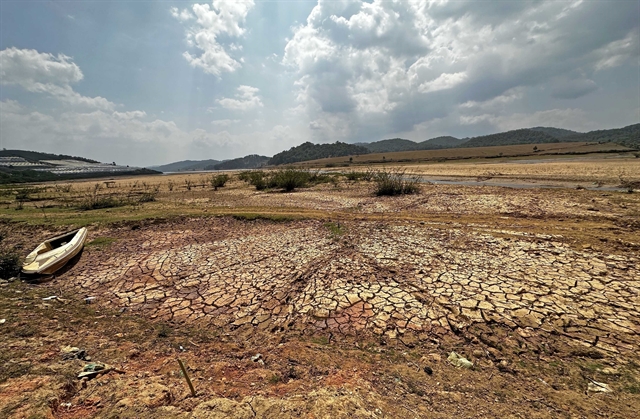
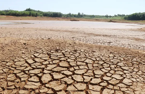
Water shortage warnings
In May, total rainfall is predicted to be 10-20 per cent higher than normal, though some mountainous areas may see 5-15 per cent less rainfall with a total of 150-250mm, and over 300mm in some mountainous regions.
During this period, heatwaves may persist in the northern and central regions. However, in the Central Highlands and southern regions, widespread heatwaves are expected to subside by June.
Temperatures nationwide in June are expected to be consistent with long-term averages. From July to August, average temperatures are forecast to be 0.5-1°C higher than the historical average.
"Notably, during this forecast period, heatwaves, heavy rainfall, thunderstorms, whirlwinds and lightning could negatively impact production activities and public health," said Lâm.
During the rainy season in the Central Highlands and southern regions, total rainfall is expected to be lower than the long-term average due to weaker-than-usual southwest monsoon activity.
From June to August, water levels in rivers and large reservoirs in the North are forecast to be 10-40 per cent lower than the historical average. Specifically, water levels in the Cầu River at Gia Bảy and the Lục Nam River will likely be about 5 per cent lower than historical averages.
In the northern central region, water flow in rivers in Thanh Hóa Province from June to August will likely be 5-10 per cent higher than the historical average. However, in Nghệ An Province, water flow is expected to be 25-40 per cent lower.
Some rivers in Hà Tĩnh Province, such as the Ngàn Phố River, may experience a 30-65 per cent reduction in water flow, while the Ngàn Sâu River could see a 10-30 per cent decrease.
Similarly, water flow in rivers from Quảng Bình to Quảng Ngãi (in the central region) is expected to be 20-60 per cent lower than the historical average, with Quảng Trị rivers seeing a 70-80 per cent decrease.
Rivers in Bình Định and Khánh Hòa (in the south-central region) are expected to have flows 15-30 per cent lower than the historical average.
Notably, drought and localised water shortages may occur in areas without irrigation infrastructure, particularly in Ninh Thuận and Bình Thuận provinces. VNS
 Environment


.jpg)


 (4).jpg)