 Environment
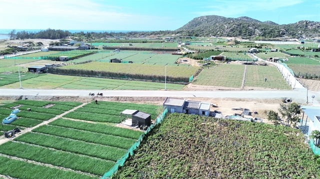
Việt Nam targets 80% digital adoption among agricultural logistics firms by 2030
1.
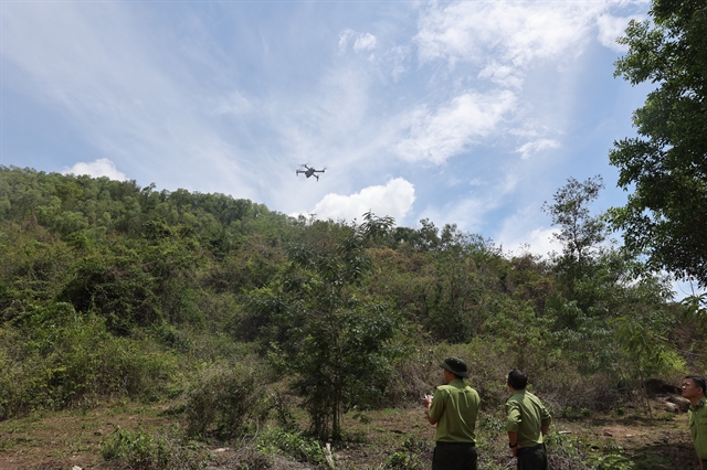 |
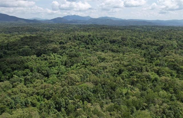
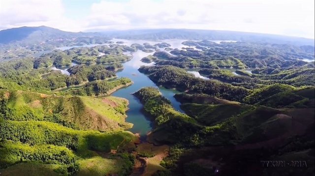
| Forest rangers in Bà Rịa – Vũng Tàu Province use a flycam to detect fires, forest encroachment and illegal logging. — VNA/VNS Photo Hoàng Nhị |
BÀ RỊA-VŨNG TÀU — The southern province of Bà Rịa-Vũng Tàu has strengthened the use of management software and modern monitoring devices to better protect its forests.
Its Forest Protection Sub-department has applied various specialised software and information technologies in forest management and protection and fire prevention.
These include fire command software, fire warning system, surveillance cameras, forestry databases, drones, and geographic information system.
These tools have helped forest rangers detect changes in the forest more easily, especially cases of illegal logging, forest land encroachment and forest fires, according to the sub-department.
The province has more than 33,550ha of forests, with over 28,700ha at high risk of fire during the dry season.
The Vũng Tàu – Phú Mỹ Forest Ranger Station manages 7,000ha of forests in mountainous areas, including the Dinh Mountain – Thị Vải area.
These areas mostly have trails, making fire prevention and firefighting challenging.
Under the canopy, there is a lot of grass and dry leaves, which pose a high risk of fire.
The forests are interspersed with farmland, making it more difficult to control access, especially during the dry season, while the ranger force is small and the forest area is large.
In the past, the rangers mainly relied on paper maps, GPS devices and compasses when inspecting the forest, which was time-consuming, labour-intensive and not very effective.
Since 2020, the station has increased the use of information technology in forest management and protection and fire prevention, such as remote sensing imagery and GPS, helping accurately detect forest fires and changes.
It is also equipped with cameras and drones to help detect violations and better prevent forest fires.
Đào Văn Điền, its deputy head, said the use of information technology with specialised software has effectively supported the verification and collection of information about forest changes on site and accurately identifying boundaries and coordinates.
He added that the integration of technology into forest management and protection and fire prevention has significantly reduced the pressure on the ranger force.
The Long Đất Inter-district Forest Ranger Station manages 2,000ha of mountainous forests, making patrols difficult.
Since 2020, it has installed surveillance cameras and used drones to help detect fires and unusual activity early.
Thanks to this, there have been no major forest fires in the last three years.
Nguyễn Văn Lời, its deputy head, said previously they had to rely on the direction of smoke to locate forest fires, taking a long time to identify the spots, but now, thanks to fire detection software and drones, they are identified quickly and accurately, allowing timely and effective responses.
The drones also help in monitoring and promptly detecting illegal logging and encroachment, improving the efficiency of forest protection, he said.
The province is trialling 12 cameras at forest entrances and allocated drones, dashboard cameras and disguised cameras for forest protection and fire prevention units.
The use of drones at seven ranger stations supports early fire detection and enhances the effectiveness of forest management and protection.
There were over 130 forest fires nationwide last year that damaged more than 600ha and affected the environment and people’s lives.
The province had four major fires last year that damaged 9.2ha of forest and 13 smaller ones that did not cause much loss. — VNS
Environment
 Environment
 Environment
 Environment
 Environment
 Environment
 Environment
 Environment
 Environment
 Environment
 Environment
 Environment
 Environment
 Environment
 Environment