 Society

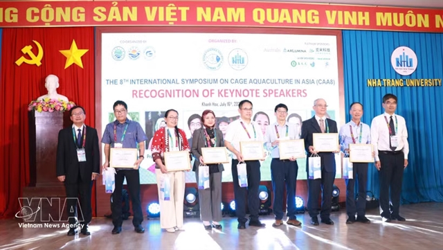
Việt Nam joins Asian partners in promoting green, smart cage aquaculture
1.
Work has begun on the US$322 million Cần Thơ Urban Development and Resilience project to reduce flood risk in the core urban area.
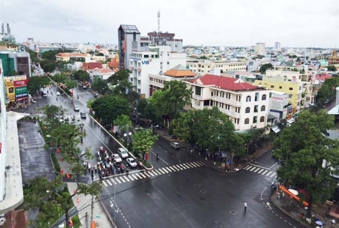 |
| A view of Cần Thơ City. Work has begun on the US$322 million Cần Thơ Urban Development and Resilience project to reduce flood risk in the core urban area.— Photo nongnghiep.vn |
HCM CITY— Work has begun on the US$322 million Cần Thơ Urban Development and Resilience project to reduce flood risk in the core urban area.
The project will also improve connectivity between the city centre and the new low-risk urban growth areas and enhance the capacity of city authorities to manage possible disasters.
Of the cost, $250 million will come from a World Bank loan while the Swiss State Secretariat for Economic Affairs will provide non-refundable aid of $10 million, according to Huỳnh Thanh Sử, director of the city’s official development assistance (ODA) project management authority, who announced the project at a workshop held in the city on Monday. The city will provide the rest.
The project, which ends in 2021, has three components -- flood risk management and environmental sanitation, urban corridor development, and spatial planning platform and financial and social protection instruments.
The objective of the third component is to build management systems to improve spatial planning, data and information management, post-disaster budget execution and the responsiveness of safety nets to flood events.
Along with the effects of climate change, more frequent and severe flooding, drought and storms as well as salinity are significant challenges faced by the region, according to Lưu Đình Hiệp, director of the HCM City University of Technology’s centre for developing information technology and geographic information system.
A new spatial data infrastructure (SDI) platform would improve urban management, monitoring and evaluation of environmental data as well as foster efficient use of natural resources, he said.
"Staff training and educational efforts play an important role in ensuring the system operate effectively," he added.
Võ Hồng Ánh, deputy chairwoman of the city People’s Committee, said the city made huge efforts to upgrade infrastructure and develop various industries.
"But the Mekong Delta is particularly vulnerable to climate change and hydro-meteorological disasters," she said.
The implementation of the SDI platform would help the city develop in a sustainable manner, she said.
The platform will provide a one-stop location for users to visualise, download, analyse and share geospatial data and maps, and link to additional sources at the national, regional and global levels, according to the World Bank. — VNS
Society
 Society
 Society
 Society
 Society
 Society
 Society
Đồng Nai will make environmental protection its top priority, while soliciting investment in its industrial parks.
 Society
HCM City’s new administration has ordered a careful review of the city master plan and amend everything that is impracticable to ensure people’s lives are not affected by bad planning.
 Society
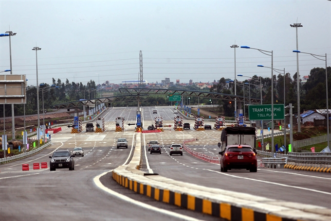
Calculating the cost and choosing the investors and contractors for BOT projects must be transparent, Deputy Prime Minister Trịnh Đình Dũng said yesterday.
 Society
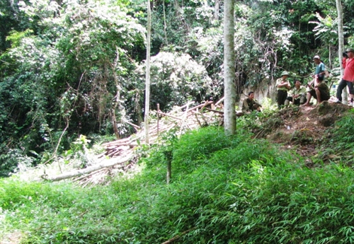
Rescuers in the northern mountainous Lào Cai Province today continued their search for a British tourist who went missing while climbing the 3,143m Fansipan Mountain in Sa Pa District.
 Society
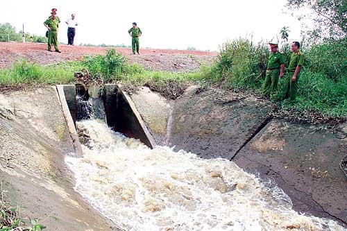
Some 45 rescue personnel and soldiers from the Military Command, Border Guard and Fire Protection teams in the central province of Thanh Hóa were dispatched this morning to rescue three trapped gold miners.
 Society
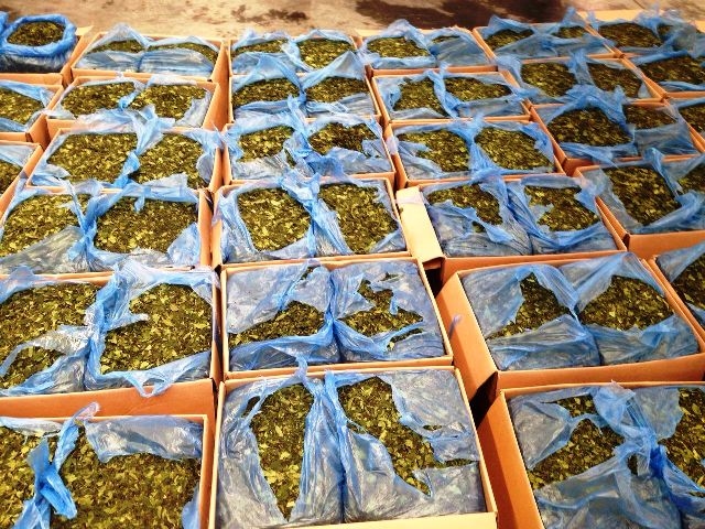
Police in HCM City have confiscated 1.2 tonnes of khat leaves imported from Africa and one case re-exported to the US. The leaves, which contain the stimulant cathinone, are banned in Việt Nam.
 Society
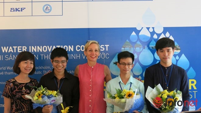
Three Vietnamese students from HCM City University of Technology won the first prize at the nation-wide Smart Water Innovation Contest, organised by the Swedish Embassy in Hà Nội. Their idea was to develop a smart phone app to detect water leakages, the embassy announced yesterday.
 Society
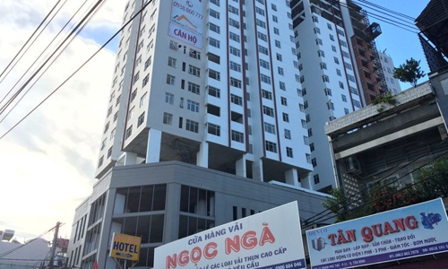
Deputy Prime Minister Trịnh Đình Dũng has asked the HCM City People’s Committee to inspect violations related to construction of the Bảy Hiền Tower in Tân Bình District, ensuring the rights of local residents.
 Society
Minister of Transport Trương Quang Nghĩa, during an inspection on Sunday, said the new Ghềnh Bridge across the Đồng Nai River in the southern province of Đồng Nai would help the railway sector rebound after its recent decline.