 Society


|
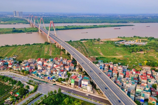
| The development direction of the city across the Red River includes the entire administrative boundaries of Đông Anh, Sóc Sơn, and Mê Linh districts. Photo thanhnien.vn |
HÀ NỘI — The People's Committee of Hà Nội has presented an adjusted plan for the city's overall development until 2045, with a vision for 2065, foreseeing population growth reaching 12 million by 2030, 14.6 million by 2045 and 15.5 million by 2050.
Building upon the 2011 master plan, Hà Nội's urban development strategy divides the city into five regions. These encompass the central urban area, including the historic inner city and expanding zones like Đan Phượng, Hoài Đức and Thanh Trì.
The eastern urban area covers Long Biên and Gia Lâm districts, while the northern region comprises Đông Anh, Mê Linh, and Sóc Sơn districts. The western area encompasses Sơn Tây, Ba Vì, Phúc Thọ, Thạch Thất and Chương Mỹ, while the southern sector includes Thanh Oai, Mỹ Đức, Ứng Hòa, Thường Tín and Phú Xuyên.
Hà Nội's plan introduces the 'city within the capital' model, aiming to develop new urban centres. This involves constructing a northern city in Đông Anh, Mê Linh and Sóc Sơn districts and a western city in the Hòa Lạc high-tech zone (Thạch Thất District) and Xuân Mai Township (Chương Mỹ District).
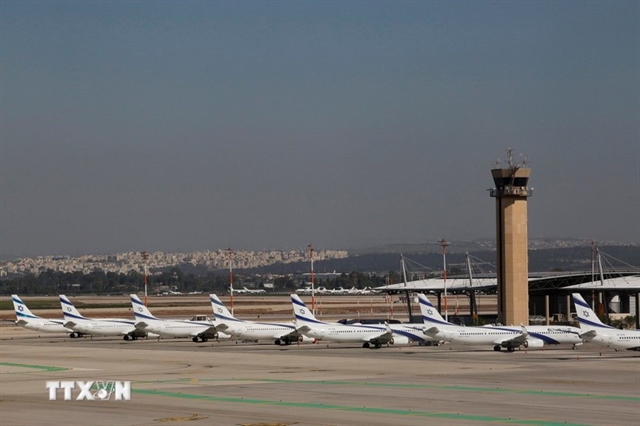
Following the establishment of the second airport in the capital region, Hà Nội plans to develop a city in the southern area, spanning Phú Xuyên and Ứng Hòa districts. This city will be integrated with the airport and serve as a comprehensive transport hub, including aviation, railways (national and urban), waterways (Red River) and highways.
The northern city of Hà Nội, centred around Nội Bài Airport, will focus on industrial, service, financial and high-tech sectors. Additionally, it will promote eco-tourism and entertainment centres. By 2045, it's projected to cover around 633sq.km, with an urban land area of 385sq.km and a population of about 3.25 million, distributed across 45 wards and 24 communes.
The western city around the Hòa Lạc high-tech zone and Xuân Mai Township, is envisioned as a hub for scientific research, high-tech training, and the development of advanced technology products. It will span approximately 251sq.km, with an estimated population of about 1.2 million by 2045. Urban construction land will cover around 135sq.km, accommodating roughly 1.08 million residents, while suburban areas will encompass about 116sq.km with a population of approximately 120,000. This city is projected to consist of 16 wards and 8 communes.
In addition, Hà Nội plans to transform rural areas in the southern region, including Thanh Oai, Mỹ Đức, Ứng Hòa, and Phú Xuyên districts, into centres for high-tech agriculture and eco-religious tourism.
For land use planning, Hà Nội anticipates that urban construction land will encompass about 90,000ha by 2030, accounting for 27 per cent of the city's total area. By 2025, this figure is expected to increase to around 120,000 hectares, representing 36 per cent of the city's total area. — VNS


