 Politics & Law
Ministry backs Hà Nội plan for three river-regulating dams
1.
|
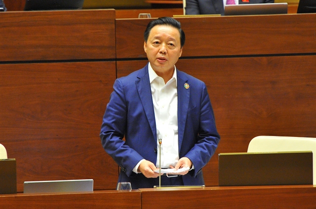
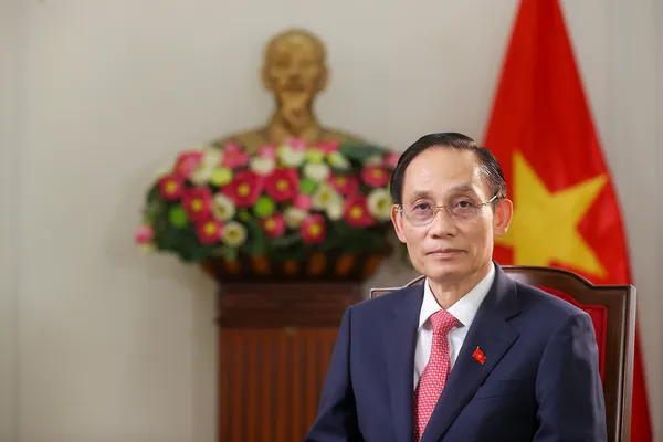
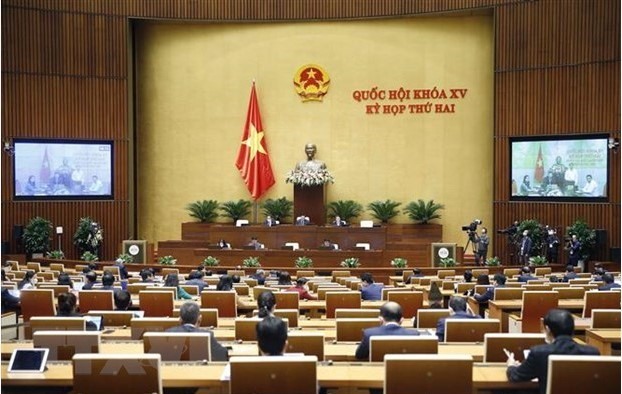
| Minister of Natural Resources and Environment Trần Hồng Hà speaks at the meeting on Saturday. — VNA/VNS Photo |
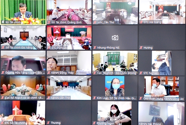
HÀ NỘI — National Assembly deputies discussed the draft of plans for national land use for the 2021-2030 period with a vision to 2050 and the 2021-2025 land use plan at the ongoing second session of the 15th legislature on Saturday.
Minister of Natural Resources and Environment Trần Hồng Hà had earlier presented a report on the draft and a verification report by the NA’s Economic Committee at the working session of the NA on Friday afternoon.
Minister Hà said the draft planning and the 2021-2025 land use plan aim to ensure enough land for the country’s socio-economic development strategy, laying a foundation to turn Việt Nam into a high-income developed nation by 2045.
NA deputies said the implementation of the plan creates important resources to boost socio-economic development and agreed with the need to approve the national land use planning for the 2021-2030 period, stressing that it needs to mitigate impacts on the environment.
Deputy Nguyễn Tuấn Anh from southern Long An Province said criteria that are related to the environment needed to follow the country’s development orientation for the next ten years of building a circular green, environmentally friendly economy and promoting the use of science and technology in waste treatment.
It was necessary for the Government to check these criteria towards downsizing the area of dumping stations and allocating land for waste treatment, he said.
The Government should review and adjust land use planning and land use plans to mitigate impacts on the environment and climate change, he said.
Regarding land for hi-tech industrial zone planning, the total area will reach 4,100ha by 2025. This was modest in comparison with the country’s development orientating, he said, proposing the Government adjust the planning to increase the land area for hi-tech parks.
Some deputies proposed paying more attention to the digital foundation in State land management to bring more benefits for both the economy and people, particularly when the country is preparing for socio-economic development recovery post-COVID-19 and safe adaptation to the pandemic.
Deputy Phạm Văn Thịnh from northern Bắc Giang Province said information technology application and digital transformation should be considered as a core solution and decisive factor in implementing land use planning and land use plans in the future.
Digital transformation in land management would help to improve the efficiency of examination and supervision tasks of authorised agencies and accelerate the making of land use planning and land use plans in the future as well as help ensure transparency in land use.
Some deputies suggested clarifying principles and criteria in the conversion of rice plantation land and protective forest land to non-agricultural land.
Deputy Mai Thị Phương Hoa from northern Nam Định Province said the reduction of rice cultivation land would lead to an increase in the number of unemployed workers in rural areas so she proposed to minimise the transfer of rice cultivation land into land for industrial development.
Some deputies said it was essential to publicise information relating to land planning for citizens to get access to prevent shortcomings and ensure transparency in implementing land policies.
Deputy Mai Văn Hải proposed to review land planning for industrial zones to prevent wastefulness. During 2011-20, land areas planned for industrial zones was over 191,000ha but only around 90,000ha of land was used.
Later the same day, Minister Hà explained and clarified some issues of concern.
He said land planning must be one step ahead and would serve as the foundation to guide spatial plans and orientations.
The minister said it was essential to identify "three boundaries" and "four areas" in land use planning.
The boundaries include "strict boundary" for protection and conservation such as special-use forest land, protective forests, rice cultivation land, lakes, ponds, and historical sites; boundary for development limitation such as areas of natural forests, corridors for protection of water sources, and wetlands; and development promotion boundary for conversion of purposes for economic and social development.
The “four areas” include the area for strict protection and conservation; the stable area with the restricted conversion of land use purpose; the area allowed to change land use purpose with specific conditions; and the area allowed to change land use purpose to guide space for other plannings.
The land-use plans were designed with the goal of allocating land to sectors and localities in accordance with socio-economic development needs, while simultaneously ensuring national defence-security and environmental protection, and climate change adaptation.
The land allocation must also meet the demand for infrastructure development, industrialisation, and urbanisation, while protecting ecologies and maintaining 3.5 million hectares of rice fields, according to the minister. — VNS
Politics & Law
 Politics & Law
 Politics & Law
 Politics & Law
 Politics & Law
 Politics & Law
 Politics & Law
Prime Minister Phạm Minh Chính departed on Sunday for the 26th United Nations Climate Change Conference of the Parties (COP26), and for visits to the UK and France from October 31-November 5, at the invitation of his British and French counterparts Boris Johnson and Jean Castex.
 Politics & Law
Prime Minister Phạm Minh Chính and four ministers will go before the National Assembly (NA) for question-and-answer sessions in the next phase of the 15th NA’s second session, according to NA General Secretary and Chairman of the NA Office Bùi Văn Cường.
 Politics & Law
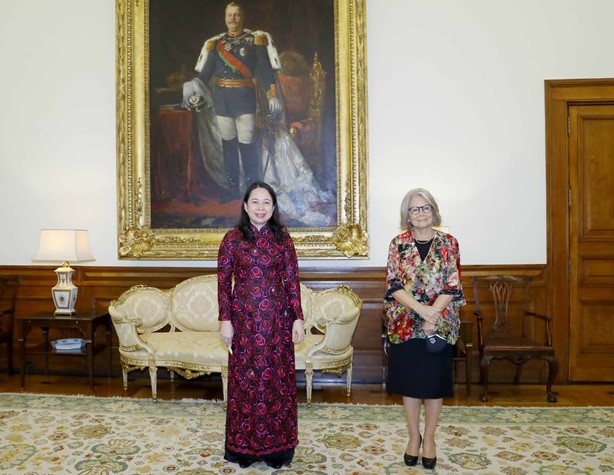
Vice President Võ Thị Ánh Xuân met with Vice President of the Portuguese parliament Edite Estrela, held talks with Foreign Minister Augusto Santos Silva and chaired a business dialogue forum on October 29, as part of her working trip to the European country.
 Politics & Law
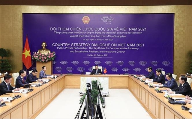
Prime Minister Phạm Minh Chính on October 29 co-chaired the WEF’s Country Strategic Dialogue on Việt Nam 2021 for the first time via videoconference at the invitation of WEF Founder and Executive Chairman Klaus Schwab.
 Politics & Law
The World Economic Forum (WEF)’s Country Strategy Dialogue on Việt Nam, which was held both in-person and via videoconference on October 29, was a success, according to WEF President Borge Brende.
 Politics & Law
 Politics & Law
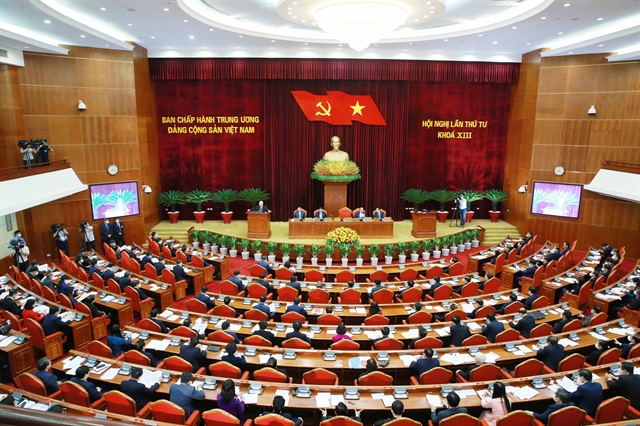
General Secretary of the Communist Part of Việt Nam Nguyễn Phú Trọng recently signed the Party’s Decision No.37 on the updated list of 19 forbidden acts for Party members.
 Politics & Law
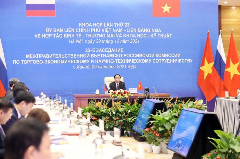
Vietnamese Deputy Prime Minister Lê Văn Thành and his Russian counterpart Dmitry Chernyshenko co-chaired the annual 23rd meeting of the Vietnam – Russia Inter-Governmental Committee on Economic, Trade and Scientific-Technological Cooperation via videoconference on October 29.
 Politics & Law
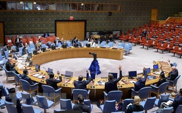
Minister Counsellor Nguyễn Phương Trà, Deputy Permanent Representative of Việt Nam to the United Nations (UN), on Thursday attended Arria-Formula Meeting on Hate Speech and Social Media of the UN Security Council, where she emphasised the need to raise public awareness of impacts from online hate speech in society.