 Environment

HCM City eyes sustainable tech-driven growth by 2030
1.
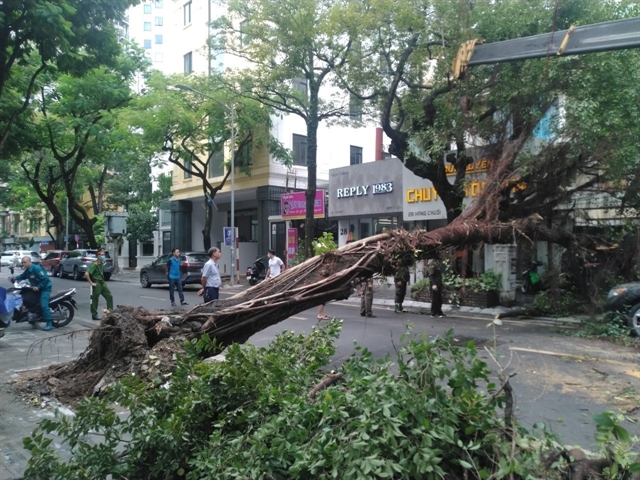 |
| A tree on Hàng Chuối street fell down due to heavy rain in Hà Nội. — VNA/VNS Photo Phạm Hậu |
HÀ NỘI — Storm Maon, the third tropical storm to hit the East Sea this year, caused heavy rain and strong winds yesterday night and early morning today, mainly in the north of the country.
Experts are warning more bad weather is on the way, and efforts must be made in the coming days to ensure minimum disruption and damage.
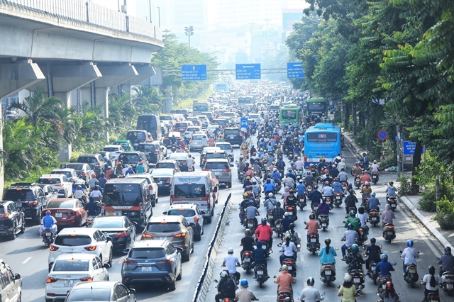
In Hà Nội, trees were felled and extreme rain hit the capital yesterday morning causing rush-hour issues. More bad weather is expected in the coming days
There are also risks of flash floods, landslides and local inundation in residential areas and low-lying lands in the Northern mountains and Thanh Hóa Province.
The National Steering Committee for Natural Disaster Prevention and Control yesterday issued an official document to ministries, departments, and Quảng Ninh, Lạng Sơn Provinces and Hải Phòng City on responding to the effects of the storm.
Yesterday morning, border guards guided more than 109,000 people in the northern region to evacuate from the storm area. Among these, 25,000 people were in the Gulf of Tonkin.
Hải Phòng and Quảng Ninh authorities have been warned to manage vessels heading out to sea and guide those offshore within the storm’s perimeter to move out of the danger zone or find shelters.
Quảng Ninh Province sent out storm information to nearly 7,000 vessels in the locality. Aquaculture zones were also prepared to ensure safety against strong winds at the sea.
All 3,600 tourists in the province, including 1,500 on its islands, were notified about the storm. They returned to land or were directed to safe accommodation yesterday.
Mountainous provinces were also ready to evacuate more than 135,000 people in areas at risk of flash floods and landslides.
Localities can also issue a ban to prevent vessels from heading out to the sea, depending on the actual situation.
Solutions for water drainage in urban and agricultural production areas must also be prepared to minimise damage, especially to rice fields.
The mountainous Lạng Sơn Province is also required to trim tree branches and reinforce structures to brace for the storm.
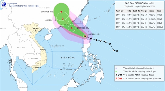
According to the National Centre for Hydro-Meteorological Forecasting, the storm hit the southwestern region of Chinese Guangdong Province yesterday at noon.
As of 1pm yesterday, the storm's centre was at about 21.8 degrees north latitude, 110.2 degrees east longitude, and about 250km east-northeast of Móng Cái District (Quảng Ninh Province).
Wind speed near the eye of the storm reached 75 to 88km per hour.
Dangerous weather has been expected in the East Sea until early morning today. All vessels operating in the hazardous zone are at high risk of being affected by strong winds, high waves and tornadoes.
The storm is forecasted to weaken before the weekend into a tropical low-pressure system over the mountainous area in the north.
The northern region is forecast to experience heavy rain, with the average rainfall measuring at 100-200mm. — VNS
{ "id": "h_hDI9QCsE", "type": "myToolImages", "data": { "data": "" } }
{ "id": "t20NG0KCdw", "type": "myToolImages", "data": { "data": "" } }
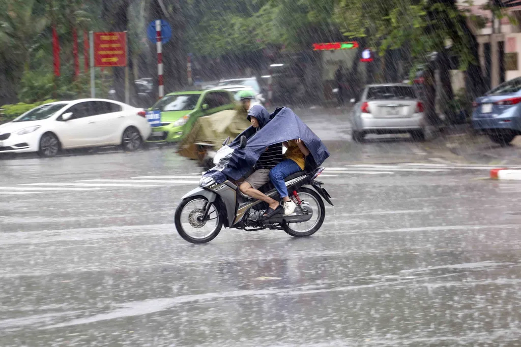 |
| Heavy rains in Hà Nội on Thursday. — VNA/VNS Photo Tuấn Đức |
{ "id": "x4zq-6MnD1", "type": "myToolImages", "data": { "data": "" } }
Environment
 Environment
 Environment
 Environment
 Environment
 Environment
 Environment
 Environment
 Environment
 Environment
 Environment
 Environment
 Environment
 Environment
 Environment
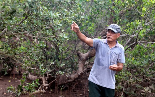
To people living in the coastal areas, mangroves serve as the ‘green walls’ that protect them from storms and typhoons.