 Society


Prime Minister meets with French Senate President
1.
The tropical depression active east of the
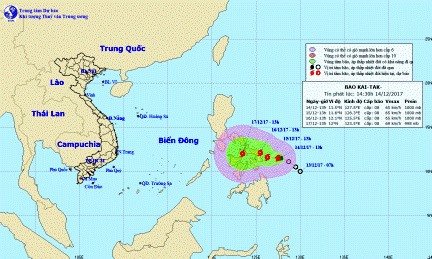 |
| Typhoon Kaitak’s predicted path in the next 24-48 hours. — Photo from the National Centre for Hydro-meteorological Forecasting |
HÀ NỘI — The tropical depression active east of the
In the next 24 hours, the typhoon is expected to slowly move westward into the South China Sea (
By 1pm December 14, the typhoon was 230km away from the eastern
The national forecasting agency warns that typhoon Kaitak’s “developments are complicated” and the public is urged to closely follow updates on the typhoon.
In addition, the centre also said another wave of cold air is pushing south across the northern and north-central regions late on December 14 night.
The areas affected by the cold will see a drastic temperature drop and strong northeastern winds of gale 3 inland and gale 4-5 over seas.
The incoming cold air is characterised by low humidity, so drizzles and thick clouds in the past few days would lift for sunshine and dryer air. The lows are predicted at 8-11 degrees Celsius at night around the delta and at 4-7 degrees in the mountainous areas. Mountainous areas might also experience frost and hoarfrost. — VNS
Society
 Society
 Society
 Society
 Society
 Society
 Society
Education and investment in human resources (HR) are the driving force for economic development, HR experts and educators from Việt Nam and the Republic of Korea (RoK) agreed at the Global HR Forum held in Hà Nội on December 14.
 Society
While the profile of Vietnamese businesswomen has been raised significantly in recent years with the emergence of leaders in certain sectors, budding women entrepreneurs still have to fight with one hand tied behind their backs.
 Society
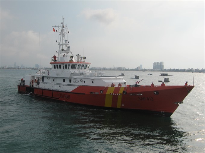
A ship from the Đà Nẵng-based Maritime Search and Rescue Coordination Centre No 2 (MRCC2) has rescued all seven crew members of a sunken fishing boat in waters off Hoàng Sa (Paracels) Island.
 Society
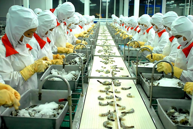
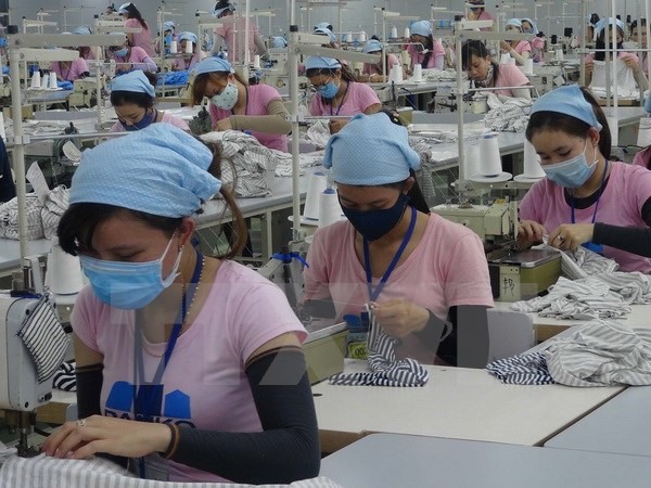
Some 300-400 engineers are needed every year by the yarn, fabric and dyeing sectors while universities supply only around 30, experts said.
85034918PM.jpg) Society
Society
The Minister of Agriculture and Rural Development, Nguyễn Xuân Cường, has called on domestic and international organisations and individuals to continue their support for people hit by the recent Typhoon Damrey.
 Society
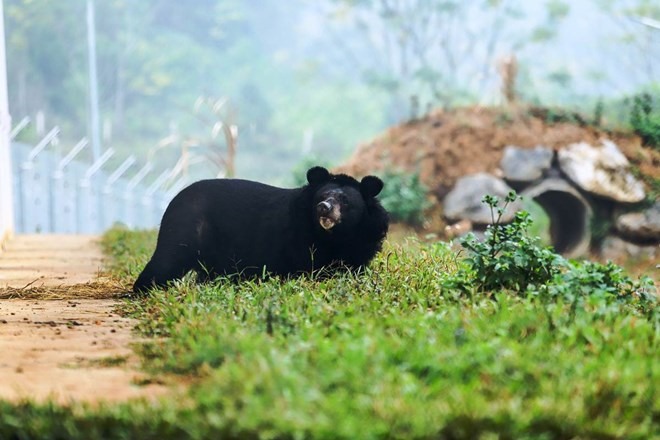
The Four Paws Foundation has re-released three bears, including one male and two females, weighing over 100kg each, to a semi-natural area in the northern province of Ninh Bình.
 Society
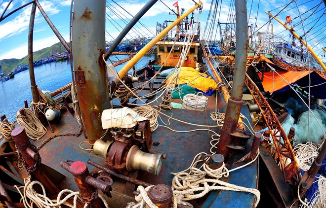
Fishermen in the south central coastal province of Bình Định have asked two companies to pay compensation for damage to their new steel ships.
 Society
HCM City People’s Procuracy on Wednesday said it asked the court to prosecute a Peruvian national for robbery, with assets worth nearly VNĐ6 billion (US$266,000), e-newspaper zing.vn reported.
 Society
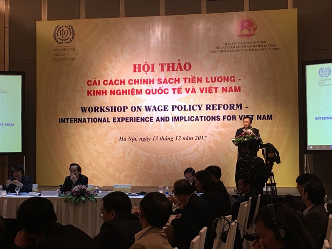
Deputy Prime Minister Vương Đình Huệ emphasised that salary reform is an urgent need at a conference in Hà Nội yesterday to discuss global and local experience in renovating salary policies.


.jpg)