 Society
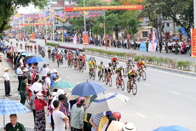
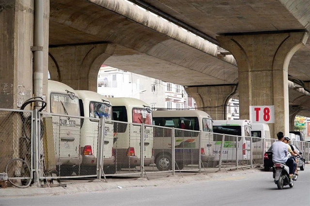
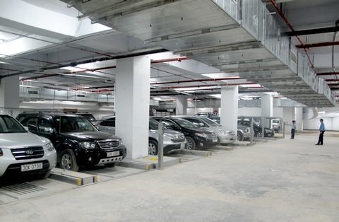
Hà Nội proposes allowing car parking on roadways, sidewalks, and under bridges
1.
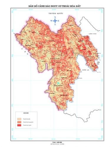
Scientists have created a map that warns against land degradation risks in northern mountainous provinces of Điện Biên and Lai Châu.
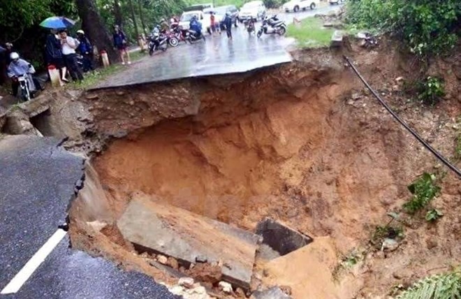 |
| Landslide in Lai Châu Province. — VNA/VNS Photo |
HÀ NỘI — Scientists have created a map that warns against land degradation risks in northern mountainous provinces of Điện Biên and Lai Châu.
The research, led by Associate Professor Phạm Quang Vinh at the Institute of Geography under the Vietnamese Academy of Science and Technology, investigates and assesses the status of land degradation in these localities using remote sensing technology and geographic information system (GIS) mapping. The goal is to safeguard socio-economic development and ensure sustainable land use.
According to experts, land degradation in Việt Nam in general and in the northwest region occurs following various natural and social impacts.
The warning map against land degradation risks was made based on the combination of a map on current land degradation status and a map showing potential factors causing land degradation.
The map on current land degradation status demonstrates land degradation types and levels. It was created based on analyses on natural factors such as geological, geomorphological and hydrological conditions, ecological diversification and socio-economic factors such as methods of cultivation, land use, population density and urbanisation.
The land degradation risk level is divided into three levels: high, medium and low risk.
Areas at low risk account for 48.9 per cent of the two provinces’ areas, comprising mostly flat terrains such as deltas and valleys.
Areas at medium risk account for 31.64 per cent of the total researched area (589.128ha).
Areas such as Than Uyên, Tân Uyên, Sìn Hồ districts of Lai Châu Province; and Tủa Chùa and Tuần Giáo districts of Điện Biên Province are warned to be highly exposed to severe land degradation. These areas, making up more than 19.4 per cent of total natural area, are located mainly on high positions with high density of rivers and streams, relatively thin soil layer and a large volume of rain.
Experts also found out that natural factors such as slope, rain volume, and plant layer affect the land degradation in these two provinces.
Land degradation is occurring in many major areas in Việt Nam, especially in mountainous areas which make up three quarters of the nation’s land fund. According to experts, causes of land degradation range from erosion, soil with low fertility, acid soil, saline soil, soil emaciation, flooded land, landslides, desertified soil, to polluted soil. — VNS
 |
| Warning map against land degradation risks in Điện Biên Province. — Photo thiennhien.net |
Society
 Society
 Society
 Society
 Society
 Society
 Society
The degradation of Thảo Long Dyke in central Thừa Thiên- Huế Province has worried locals of salty intrusion, which affects their daily water source and agricultural cultivation.
 Society
A regulation recently issued by the Hà Nội People’s Committee requires basements to be a compulsory part of new constructions in the inner areas of the city.
 Society
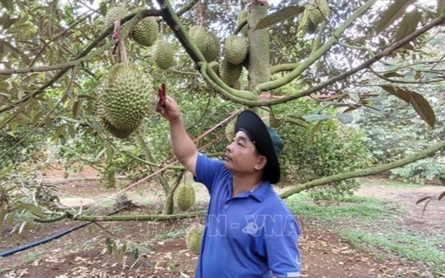
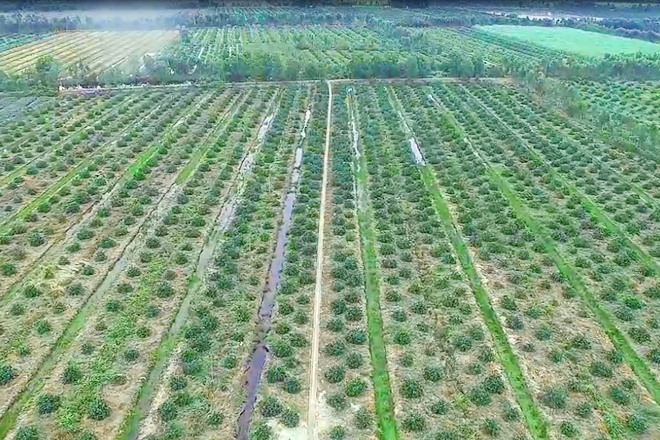
“After seven years of development, I can proudly state that Thai farmers now cannot compete with limes from the Chanh Việt Company,” said Nguyễn Văn Hiển. Hiển is the owner of the largest lime plantation in the Mekong Delta which creates a significant value chain for the Vietnamese agriculture sector.
 Society
Some modern slaughterhouse projects have to be postponed because of the new circular issued by Ministry of Agriculture and Rural Development. The shift also delays the plan of closing old slaughter facilities.
 Society
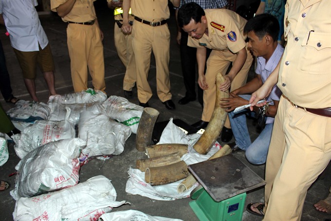
Centre of Hands-on Actions and Networking for Growth and Environment (CHANGE) and WildAid have launched the Ivory Free Vietnam Campaign to stop the illegal trade in ivory and contribute to the global efforts to save elephants from extinction, has been launched in HCM City.
 Society
APEC-member economies agreed to continue enhancing regional cooperation to achieve the Bogor Goals of freer and open trade by 2020 in the Asia-Pacific region, an official said at a press conference held on Wednesday in HCM City.
 Society
Vietnamese Prime Minister Nguyễn Xuân Phúc has asked the Ministry of Finance to verify press reports on the customs department receiving unofficial fees without invoices, the Government Office said.
 Society
The National Traffic Safety Committee has announced 10 hotlines to receive residents’ reports about traffic safety on National Day, which is on September 2, and the start of the new school year.
 Society
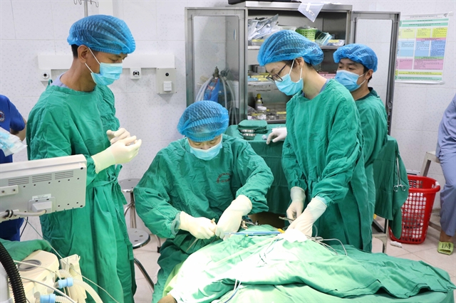
Doctors from Paediatric Hospital No 2 and Chợ Rẫy Hospital in HCM City collaborated and successfully separated 13-month-old conjoined twins who were joined below the torso.