 Environment

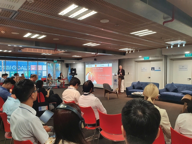
Cambodian National Assembly President concludes official visit to Việt Nam
1.
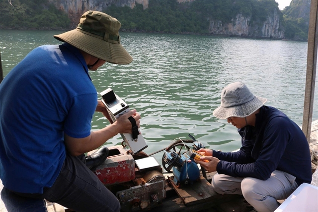 |
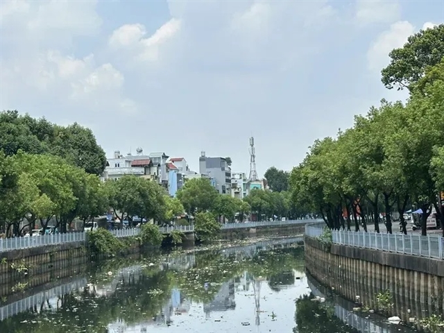
| The research team collects seawater samples in Hạ Long Bay. — VNA/VNS Photo |
QUẢNG NINH — Vietnamese scientists have developed a remote sensing and artificial intelligence (AI)-based system to monitor water quality in Hạ Long Bay, offering a faster, cheaper and more scalable alternative to traditional water sampling and testing.
Led by Vũ Anh Tuân from the Vietnam National Space Centre under the Vietnam Academy of Science and Technology, the research combines satellite imagery from the European Space Agency’s Sentinel-2 mission with advanced machine learning algorithms — including Random Forest, Gradient Boosting and AdaBoost — on the Google Earth Engine platform.
The system is capable of automatically and regularly monitoring seawater and brackish water quality across Hạ Long Bay and the adjacent Cửa Lục estuary, two strategic coastal zones in the northern Quảng Ninh Province.
Hạ Long Bay, a UNESCO World Natural Heritage site, is renowned for its limestone islands and ecological diversity, while Cửa Lục is a major hub of industrial and port activities linking the mainland to the bay.
As urbanisation and economic development accelerate in the region, environmental pressures, especially declining water quality, have become increasingly urgent.
Traditional methods of water monitoring, which rely on physical sample collection and lab analysis, are often expensive, labour intensive and limited in geographic scope and frequency.
In contrast, the new system leverages remote sensing to monitor key water quality parameters at scale, including sea surface temperature, total suspended solids, chlorophyll-a levels and chemical oxygen demand (COD).
These indicators help assess water clarity, nutrient levels and the overall health of aquatic ecosystems.
Between 2019 and 2023, the research team analysed 78 Sentinel-2 images alongside field data from Quảng Ninh’s Department of Natural Resources and Environment and the US National Oceanic and Atmospheric Administration. The models trained on this data delivered varying levels of predictive accuracy.
The Random Forest model outperformed others, especially in predicting sea surface temperature, achieving an R-squared value between 0.79 and 0.80. Predictions for turbidity and chlorophyll-a also showed relatively high accuracy. However, COD, which is sensitive to multiple complex variables, proved more difficult to model reliably.
The study also identified specific spectral bands in the satellite data that were most useful for detecting water quality conditions, helping improve model performance and reduce future data collection costs.
Using the results, the team produced spatio-temporal maps showing changes in water quality across the bay over time, enabling early pollution warnings and providing a valuable planning tool for environmental management and sustainable coastal development.
Despite limited field data, the project marks Việt Nam’s first successful integration of Sentinel-2 imagery, machine learning and Google Earth Engine for coastal water monitoring. Tuân said the approach would open up a new path for managing environmental health in key marine areas using cutting-edge technology.
Next steps include improving model accuracy for chlorophyll-a and COD by incorporating more measurement data and testing more advanced algorithms. The researchers also plan to expand the system to other coastal regions across the country and integrate data from additional satellite sources and on-the-ground monitoring stations.
Seasonal dynamics and the impacts of industrial and urban development will also be included in future models, as Việt Nam faces rising environmental challenges linked to climate change. — VNS
Environment
 Environment
 Environment
 Environment
 Environment
 Environment
 Environment
 Environment
 Environment
 Environment
 Environment
 Environment
 Environment
 Environment
 Environment