 |
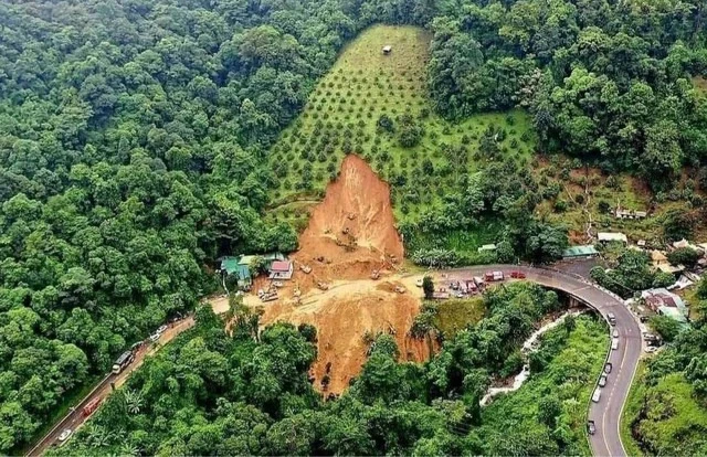
| The plan also emphasises enhancing research, applying scientific and technological advances, and promoting international cooperation in early warning systems. Photo thanhnien.vn |
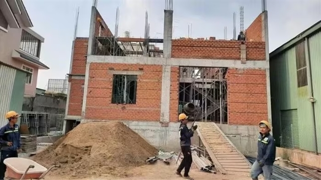
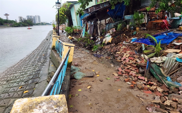
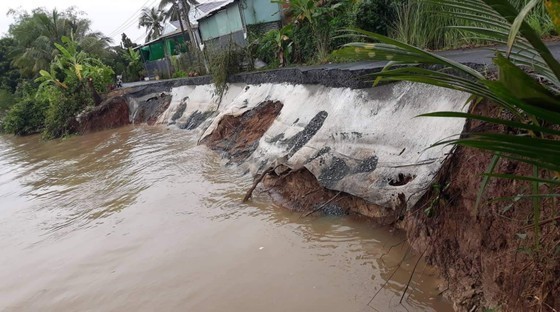
HÀ NỘI - In the plan to implement the early warning project for landslides and floods in the mountainous and northern regions of Việt Nam, the Ministry of Natural Resources and Environment clearly outlines the task of building a dataset, mapping 150 danger zones as well as landslide and flood risk areas for 37 mountainous and northern provinces.
The plan specifies five tasks and four solutions assigned by the Minister of Natural Resources and Environment to various units: the General Department of Meteorology and Hydrology, the Việt Nam Institute of Geosciences, the National Remote Sensing Centre, and the Institute of Meteorology, Hydrology and Climate Change.
The primary tasks involve reviewing and improving legal documents, procedures and technical regulations for tasks related to zoning and early warning of natural disasters such as landslides and floods. This includes establishing and maintaining the operation of an information system for early warning.
Other tasks include conducting investigations, building datasets, mapping risk zones, and specifically mapping risk areas for landslides and floods at different scales for high-risk areas in northern and mountainous provinces. The plan also emphasises enhancing research, applying scientific and technological advances, and promoting international cooperation in early warning systems.
Specific solutions encompass reviewing, adjusting and supplementing legal documents, standards, and regulations related to natural disaster management, prioritising the development and application of modern scientific and technological advances, and fostering cooperation with regional and international partners. The plan also emphasises coordination with relevant entities, proactive communication, and technology transfer to support disaster prevention and control efforts. VNS
 Society


.jpg)
.jpg)