 Opinion

Government urges vigilance as inflation pressures mount in H2
1.
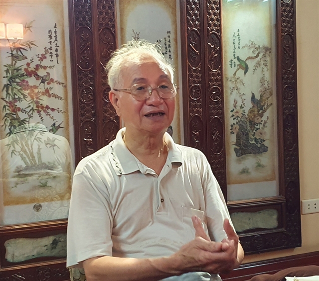
PhD architect Đào Ngọc Nghiêm, Vice President of the Việt Nam Urban Development and Planning Association, talks to Hà Nội Mới (New Hà Nội) newspaper on the need to grant a special policy for Hà Nội on flood diversion on the Red River
|
| Architect Đào Ngọc Nghiêm. — Photo hanoimoi.com.vn |
Architect Đào Ngọc Nghiêm, Vice President of the Việt Nam Urban Development and Planning Association, talks to Hà Nội Mới (New Hà Nội) newspaper on the need to grant a special policy for Hà Nội on flood diversion on the Hồng (Red) River
When did the study planning the Hồng (Red) River banks start?
The portion of the Red River that runs through Hà Nội has a total length of about 130km. For ages, people have lived on both sides of the Red River. In the 1998 Hà Nội’s master development plan, city authorities adopted a decision to develop the city along the banks of the Red River, in which the Red River would become an axis in the city’s course of urban development.
To implement the Prime Minister’s Decision 1259, in 2012, Hà Nội authorities approved the planning design for areas along the two sides of the Red River. And in the last three years, the Hà Nội Construction Planning Institute has developed a planning map for the development of the Red River. However, until now such an architectural design and other ideas on the development plan of the Red River banks remain on paper.
Why? What has caused the delay for the approval of the plan?
A very important requirement in the planning of the Red River banks is to develop an important axis space for Hà Nội to ensure urban areas continue to develop, yet still make the best use of available land and protect Hà Nội’s inner city from flooding.
However, the idea of developing the land outside of the river dyke must adhere to the Vietnamese 2006 Law on Dyke Management and the Government Decree 113 which was issued on June 28, 2007 on the master planning of dykes along the Red River and the Thái Bình River. However, until now Hà Nội and Thái Bình authorities have not yet got their master plan on anti-flood ready for the Ministry of Agriculture and Rural Development to approve. That’s why the plan on zoning the Red River remains on paper.
Can you explain more about the development plan for the two sides of the Red River?
By now there are quite a few proposals on the planning of the Red River at different scopes and scales. For example, in 1996, a Singaporean investor came up with a proposal to develop a big and modern urban area in An Dương area which is located on one side of the Red River dyke. According to the Singaporean proposal, the area would be modelled on an urban area in Singapore. Then in 2005, American Indochina Land Corporation came up with a proposal to build a science hub in the An Dương area.
In 2004, another project which was named HAIDEP – a joint venture between Việt Nam and Japan, also came up with a proposal to build cities along the banks of the Red River.
In 2006, Hà Nội and Seoul authorities signed a mutual agreement on co-operation in the development of the River dyke portion which run through Hà Nội.
In 2017, quite a few big Vietnamese economic groups, including Sun Group, Vingroup and Geleximco and others also came up with proposals to financially sponsor the planning study, particularly the harness of the Red River and the transportation activities along the Red River. Adding to that, Hà Nội authorities have also adopted a plan to assign the Hà Nội Institute of Construction and Planning to work with Sun Group, Vingroup and Geleximco to study developing urban areas along a portion of the Red River which runs through Hà Nội.
What are the challenges in the development of the portion of the Red River which runs through Hà Nội?
The biggest challenge is how to calculate the stability of the flood diversion and the dyke system for Hà Nội. To do that the Ministry of Agriculture and Rural Development should develop a plan on the flood discharge for the Red River as well as the whole dyke system that runs through Hà Nội.
Furthermore, Hà Nội should adopt a detailed plan on the development of the banks of the Red River. And of course, to do that Hà Nội should also adopt a preferential policy to turn ideas into life. — VNS
Opinion
 Opinion
 Opinion
 Opinion
 Opinion
 Opinion
 Opinion
To mark the 25th anniversary of the resumption of Viet Nam-US diplomatic relations (July 12, 1995), Hồ Kỳ Minh, Vice Chairman of the Đà Nẵng People’s Committee gave an interview to Vietnam News Agency on the co-operation between the US and Đà Nẵng City
 Opinion
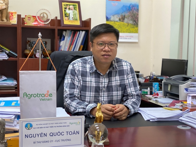
Trương Anh Dũng, Directorate of Vocational Education and Training in the Ministry of Labour, War Invalids and Social Affairs, talks to Hà Nội Mới (New Hà Nội) newspaper on his department’s resolve to create a diverse occupational education network to meet labour market needs
 Opinion
 Opinion
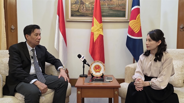
Deputy Auditor General of the State Audit Office of Việt Nam (SAV), Nguyễn Tuấn Anh, talks to Vietnam News Agency about his office’s contributions in strengthening independent external oversight on the achievement of nationally agreed goals
 Opinion
 Opinion
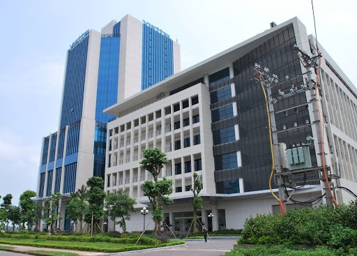
Trần Đắc Trung, deputy director of the Láng Hòa Lạc High Tech Park, speaks to the Hà Nội Mới newspaper on the park’s plan to become a tech hub in Việt Nam.
 Opinion
Việt Nam is facing huge pressure due to the complicated development of drug-related crimes. Drug gangs and synthetic drug production as well as replanting opium poppy plants are at risk of increasing.
 Opinion
 Opinion
Phạm Lương Sơn, deputy director of Việt Nam Social Security, spoke with Nhân Dân (People) newspaper prior to national health insurance day (July 1) about plans to increase health insurance coverage to 95 per cent of the population by 2025