 Environment

PM urges Tuyên Quang to accelerate measures to achieve double-digit growth
1.
.jpg)
|
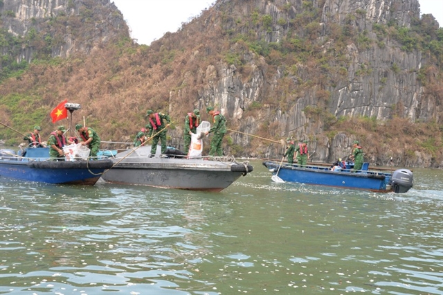
| Storm Krathon is currently over the northeastern waters of the northern East Sea. Photo courtesy of the Việt Nam Disasters Monitoring System. |
HÀ NỘI – On early Tuesday, Storm Krathon entered the northeastern waters of the East Sea, becoming the fifth storm of 2024, according to the National Centre for Hydro-Meteorological Forecasting.
However, the storm is not expected to affect Việt Nam’s coastal areas or mainland.
At 4am on Tuesday, the eye of the storm was located at approximately 20.6 degrees North latitude and 119.8 degrees East longitude, in the northeastern part of the northern East Sea. The strongest winds near the centre of the storm reached 16 on the Beaufort scale (184-201 kph), with gusts exceeding level 17. The storm is moving northwest at a speed of about 5 kph.
By 4 am on Wednesday, the storm is forecasted to move north-northwest at around 5 kph, with maximum winds still at level 16, and gusts over level 17. The affected area is the northeastern part of the northern East Sea, with a level 3 natural disaster risk.
At 4 am on Thursday, the storm is expected to move northeast at a speed of around 10 kph, gradually weakening as it approaches Taiwan (China). Maximum winds are forecast at level 13, with gusts at level 16. The affected area remains the northeastern part of the northern East Sea, with a level 3 disaster risk.
By 4 am on Friday, the storm will continue to weaken as it moves northeast at 10 kph over the northeastern waters off Taiwan, with maximum winds of level 10 and gusts at level 12. The hazardous zone will be north of 20 degrees North latitude and east of 118 degrees East longitude.
Over the next 72 to 120 hours, the storm is expected to move mainly north-northeast at around 10 kph, with continued weakening.
Due to the storm's impact, strong winds of level 10-13, near the centre of the storm at level 14-16, and gusts over level 17, will affect the northeastern waters of the northern East Sea. Wave heights are expected to reach 7-9 metres, with extremely rough seas.
Vessels operating in the affected areas are at risk of thunderstorms, whirlwinds, strong winds, and large waves. – VNS
Environment
 Environment
 Environment
 Environment
 Environment
 Environment
 Environment
 Environment
 Environment
 Environment
 Environment
 Environment
 Environment
 Environment
 Environment