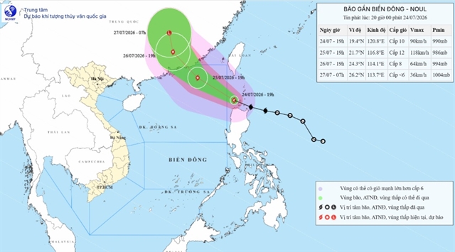
 Environment
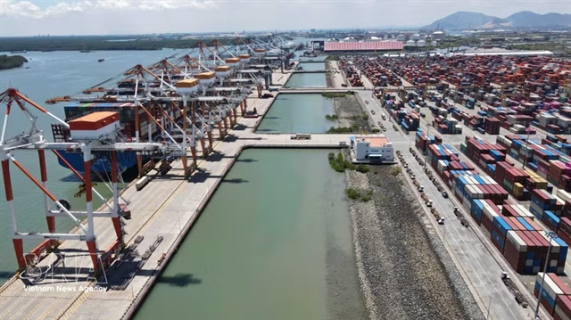
HCM City prioritises logistics infrastructure to raise direct import-export throughput above 80%
1.
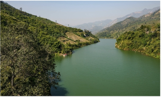 |
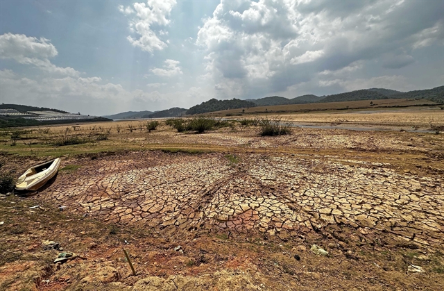
| The Mã River basin of Điện Biên, Sơn La, Hòa Bình, Thanh Hoá, and Nghệ An provinces is planned to maximise water exploitation and environment protection. — Photo baochinhphu.vn |
HÀ NỘI — The Ministry of Natural Resources and Environment has released the Master Plan for Integrated River Basins in the Mã River area for the 2021-30 period for the Mã, Hương and Đồng Nai rivers.
The ministry said the goal is to ensure water source security in the river basins and the entire plan area; store, regulate and distribute water in a fair and reasonable manner; and exploit and use water resources economically and efficiently.
These plans are designed to safeguard water resources, preventing their degradation, depletion and pollution, as well as mitigating harmful effects caused by water-related issues.
This involves establishing and operating water resource information and data systems, ensuring seamless integration with environmental resource information systems and industries that exploit and use water.
In accordance with the Master Plan for Integrated River Basins in the Mã River area for the 2021-30 period, with a vision to 2050, the planning encompasses the entire Mã River basin within the administrative boundaries of Điện Biên, Sơn La, Hòa Bình, Thanh Hóa, and Nghệ An provinces spanning a total area of 17,653 sq.km and divided into eight planning sub-regions.
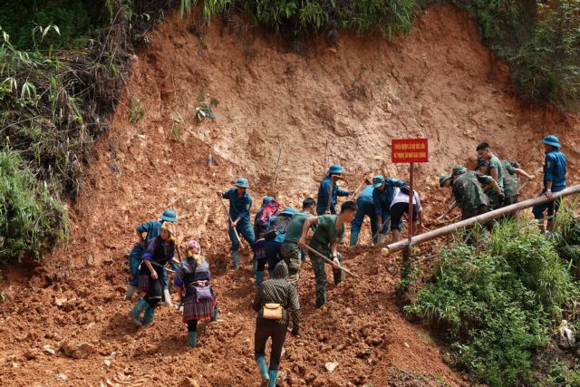
Looking ahead to 2050, the plans envision effective prevention and control of river and stream bank erosion in the Mã River basin, regulated river bottom elevations, and monitored sand and gravel exploitation in the river bed. Measures will be taken to reallocate residential areas along the river, enhance riverside landscapes and control flooding through water storage structures in flooded and low-lying areas.
For the Hương River, the planning encompasses the entire basin and surrounding areas in Thừa Thiên-Huế Province and Đà Nẵng City, covering a total area of 4,648sq.km.
Looking towards 2050 in the Hương River basin, the plans target effective prevention and control of river and stream bank erosion, regulated river bottom elevations, and monitored exploitation of sand and gravel on the riverbed.
The reallocation of riverside residential areas is intended to enhance the landscape's value, with the management, exploitation, use, and protection of water resources carried out online through smart management systems.
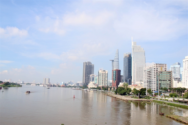
Similar goals are set for the Đồng Nai River basin, which encompasses areas of HCM City and the provinces of Đồng Nai, Bình Dương, Bình Phước, Tây Ninh, Bà Rịa-Vũng Tàu, Đắk Nông, Lâm Đồng, Ninh Thuận, and Bình Thuận.
Looking ahead to 2050 in the Đồng Nai River basin, measures will be implemented to control inundation caused by high tides, rains and floods through water storage structures.
Besides, areas with excessive groundwater depletion and degraded, depleted and seriously polluted rivers and canals will be restored. — VNS
Environment
 Environment
 Environment
 Environment
 Environment
 Environment
 Environment
 Environment
 Environment
 Environment
 Environment
 Environment
 Environment
 Environment
 Environment