 Society

Việt Nam, Slovakia seek to promote delegation exchanges
1.
The low pressure area in the East Sea (South China Sea) has strengthened into a tropical depression, causing bad weather in the southern coastal provinces.
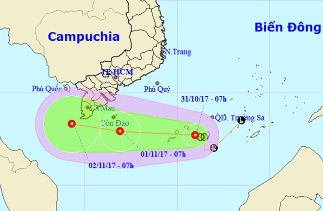 |
| A representation of the direction of the tropical depression. — Photo nchmf.gov.vn |
HÀ NỘI — The low pressure area in the East Sea (South China Sea) has strengthened into a tropical depression, causing bad weather in the southern coastal provinces.
The National Centre for Hydro-meteorological Forecasting (NCHMF), in its report on Tuesday, said that the tropical depression was located right on the southwestern part of the Spratly Islands, with winds expected to reach 60km per hour.
Tonight, the tropical depression is forecast to move west at 15km to 20km per hour and approach the southern provinces of Bến Tre and Cà Mau’s coastal area on Wednesday. Wind level will remain unchanged.
Tropical depression and cold air will cause rain, thunderstorm, cyclone and tornado in the Spratly Islands’ southwestern area and the waters from Bình Thuận to Cà Mau Province, including the islands of Phú Quý and Côn Đảo.
By Wednesday, the central coastal provinces may experience rains, showers and even thunderstorms. Rainfall of 50mm to 150mm is forecast, and in the central southern provinces of Quảng Nam, Quảng Ngãi and Bình Định, it may reach 200mm.
Due to the effect of the tropical circulation, from Tuesday night to Thursday, there will be rain in the south with rainfall of 100mm to 150mm. Cyclones, tornados and strong winds of level 7 to 8 (of 18) are expected.
Water level of Cửu Long (Mekong) River and Sài Gòn River is rising. Therefore, the tide may flood low areas, riverside areas and areas outside dike systems of HCM City, Cần Thơ City and Vĩnh Long Province.
According to the NCHMF, the Philippines’ central area is witnessing a tropical depression. It was about 1,200 km east from Palawan Island at 7am on Tuesday. The tropical depression is strengthening and moving west at 15km per hour. It may enter the East Sea area on Thursday.
Cold spell brings frost and ice to Fansipan
Meanwhile, frost and ice were observed on Fansipan Peak in northern mountainous Lào Cai Province early Tuesday, surprising tourists with its relatively early appearance.
At dawn, the temperature on the mountain in northern mountainous Lào Cai Province was below 0 degrees Celsius. The frost and ice melted after the sun rose.
NCHMF director Lưu Minh Hải said that there was no accurate measurement station on the peak, but the frost indicated the temperature must have been below freezing.
The lowest temperature measured in Sa Pa Town was about 8.4 degrees. The temperature in Lào Cai City was between 16 and 17 degrees.
On Tuesday, a cold spell was forecast to hit the northern region, bringing the temperature to below 10 degrees in mountainous areas and 16 degrees in less elevated areas.
Previously, Dr Hoàng Phúc Lâm, head of the centre’s Medium and Long-term Meteorological Forecast, said that this year’s cold spells would likely occur later than in the past.
Lâm added that extreme weather would be more common and unpredictable due to the negative impacts of human behavior on the climate. — VNS
Society
 Society
 Society
 Society
 Society
 Society
 Society
All 12 crew members onboard a sinking, coal-carrying vessel were rescued by Nghệ An Province functional forces on Monday.
 Society
The Việt Nam Buddhist Sangha (VBS) Central Committee recently held a grand ceremony in Maputo, Mozambique, to make public the Việt Nam Buddhist Association (VBA) and launch the plan to establish a Vietnamese Buddhist Centre in Mozambique, also the first of its kind in Africa.
 Society
Việt Nam Social Security recorded some 13,100 patients undergoing check-ups more than 50 times, with the total cost of VNĐ645 billion (US$28.3 million) paid by its health insurance fund, in the first 10 months of 2017.
 Society
Bình Thuận Province People’s Committee has proposed to the Government a plan to adjust exploration and exploitation of titanium in the locality.
 Society
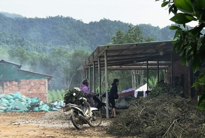
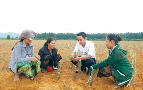
The young man leaves the city to go home with villagers to grow lemongrass in Quảng Bình
 Society
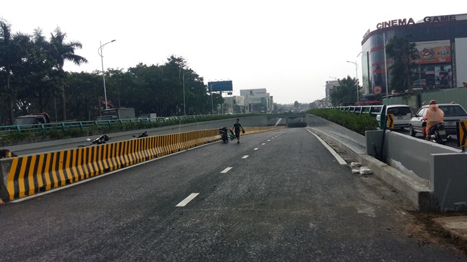
The central city of Đà Nẵng rushed to complete a traffic-easing tunnel project at one of the city’s busiest roundabouts before the APEC Summit begins on November 5.
 Society
Cross-border smugglers are transporting goods from Cambodia to the Cửu Long (Mekong) Delta provinces by using boats during floods.
 Society
Many things can change in 27 years, but time hasn’t changed teacher Đặng Thu Thảo’s charity class Phước Thiện. Thảo’s hair is white now, but her love for teaching is as vibrant as ever.
 Society
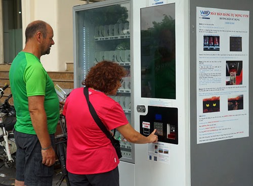
Many Hanoians have high praise for the automatic selling machines that have operated in some central districts for a year, including around Hoàn Kiếm (Sword)